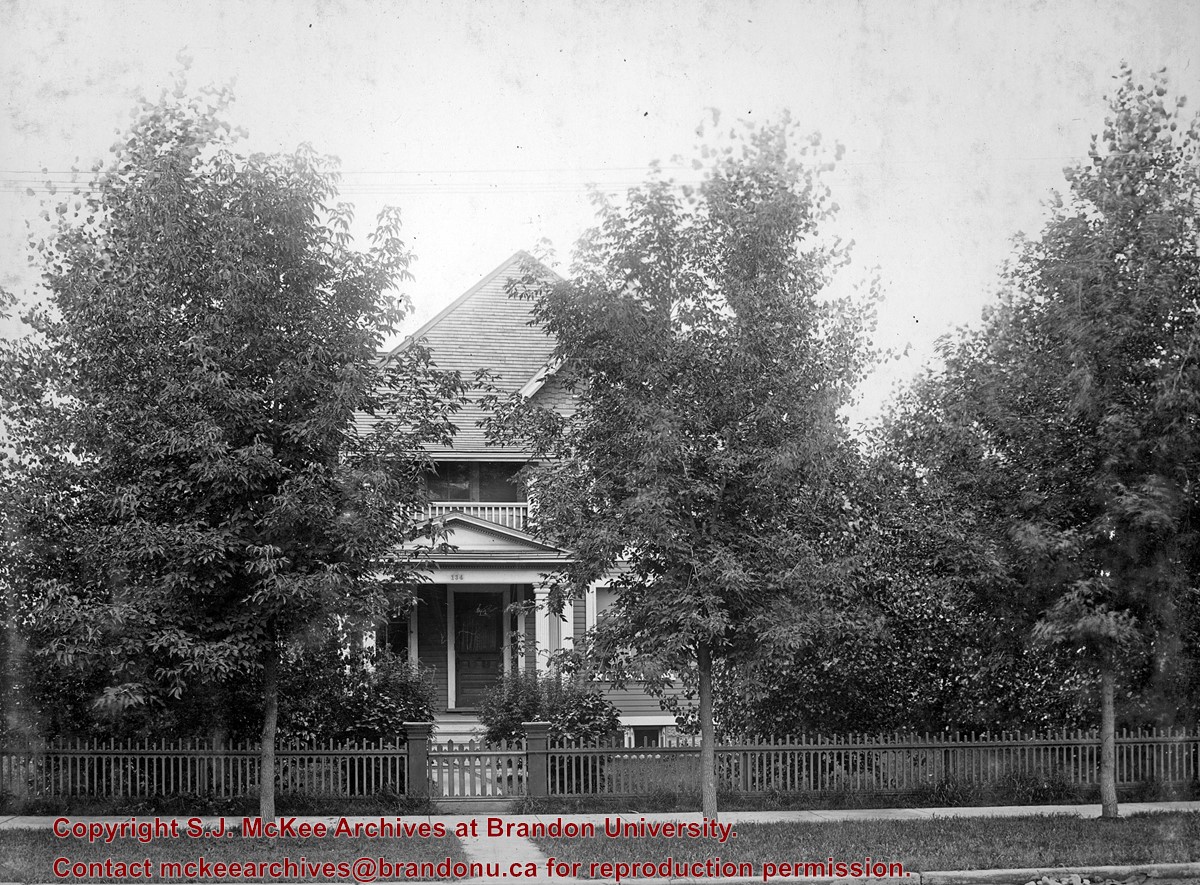
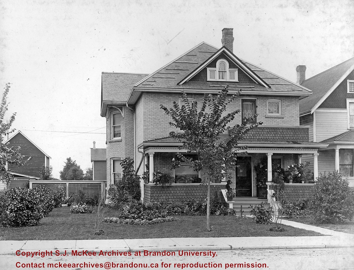
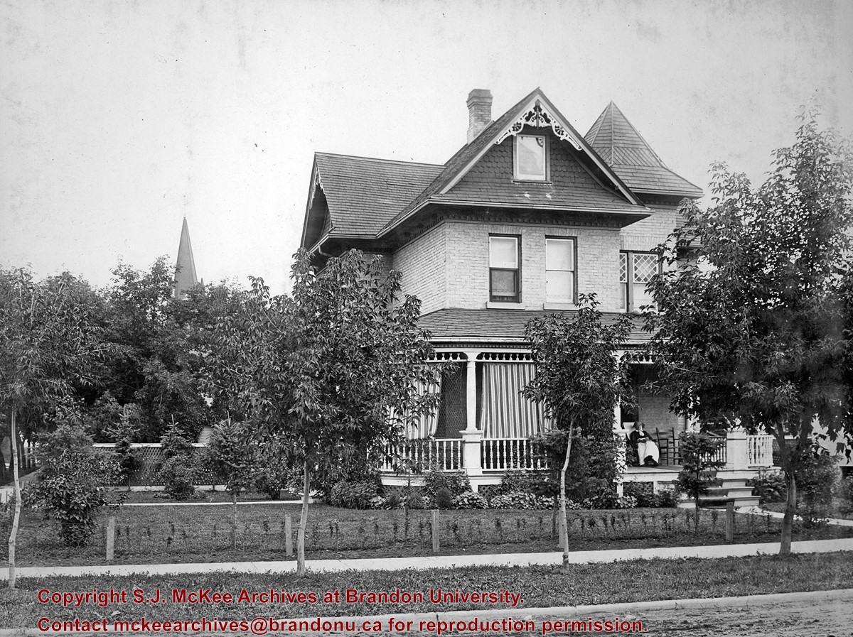
The McKee Archives is the copyright holder for the Stuckey materials.
Storage Location
Lawrence Stuckey collection
Arrangement
[Mr. Stuckey put 5 and 5 prints negatives in the same envelope. We have separated them and numbered the negatives CA15(1) to CA15(5), and the corresponding prints CA15(1a) to CA15(5a).]
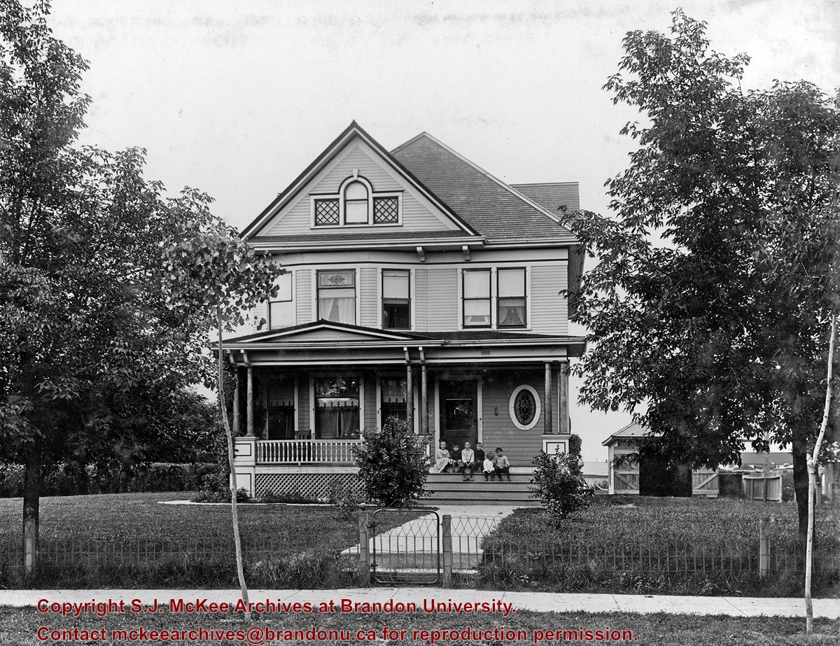
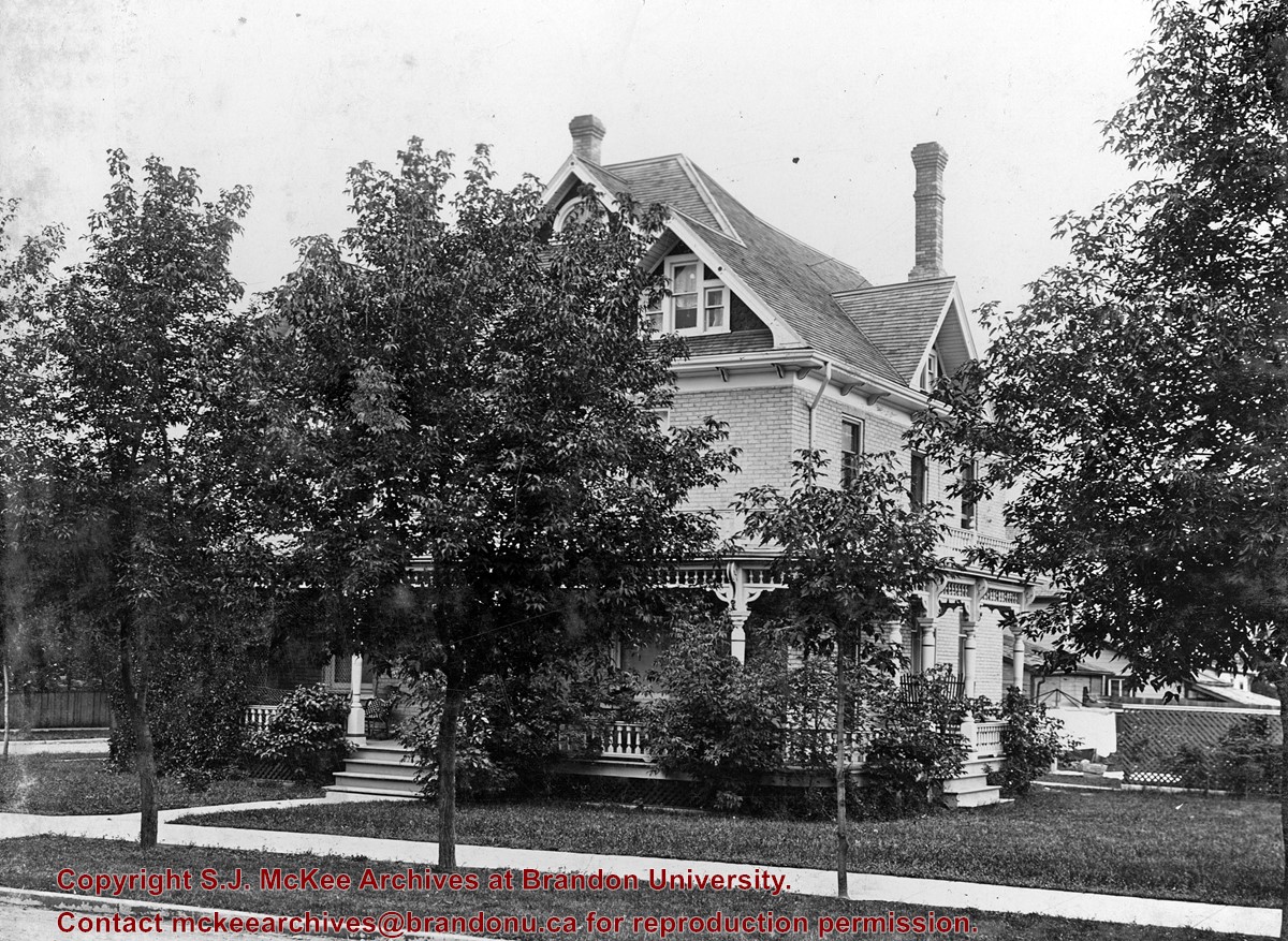
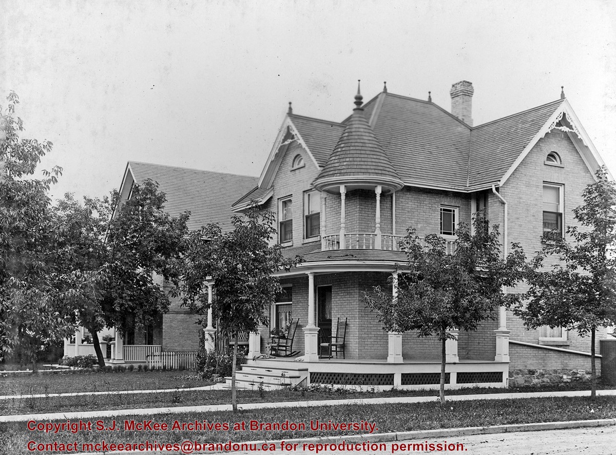
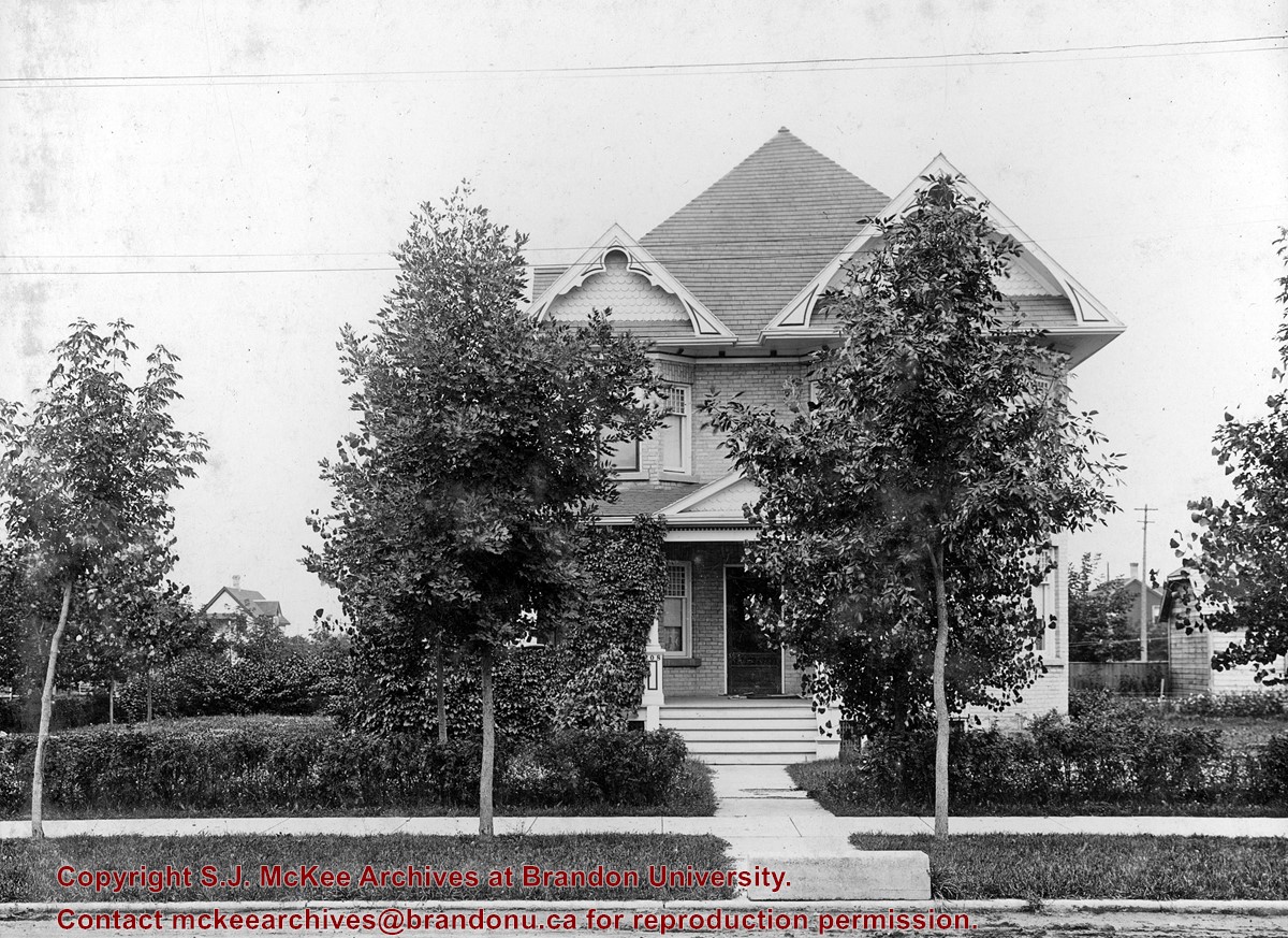
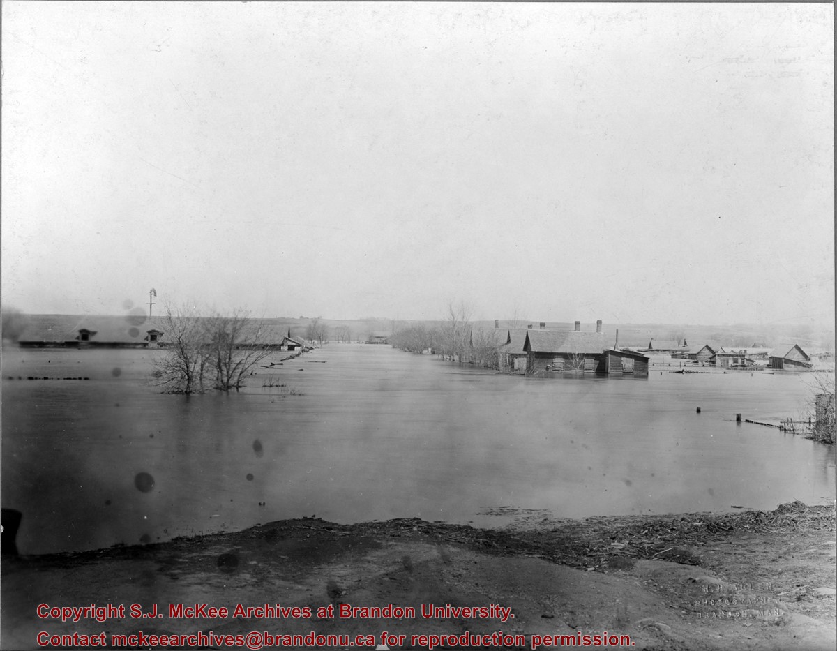
The "flats" refers to the Assiniboine River floodplane from 18th Street to First Street on either side of the river. See p. 223 of G.F. Barker's Brandon: A City for a description of the 1922 flood.
Custodial History
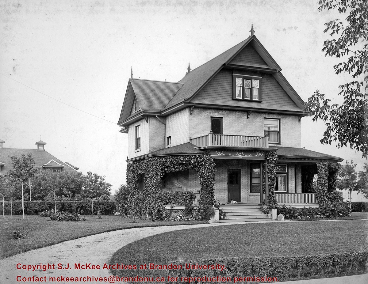
The photo was owned by Mrs. Wes Railton prior to its donation to the Archives.
Scope and Content
Photograph contains an image of houses on the Assiboine floodplane (Brandon's "flats") submerged in flood-waters.
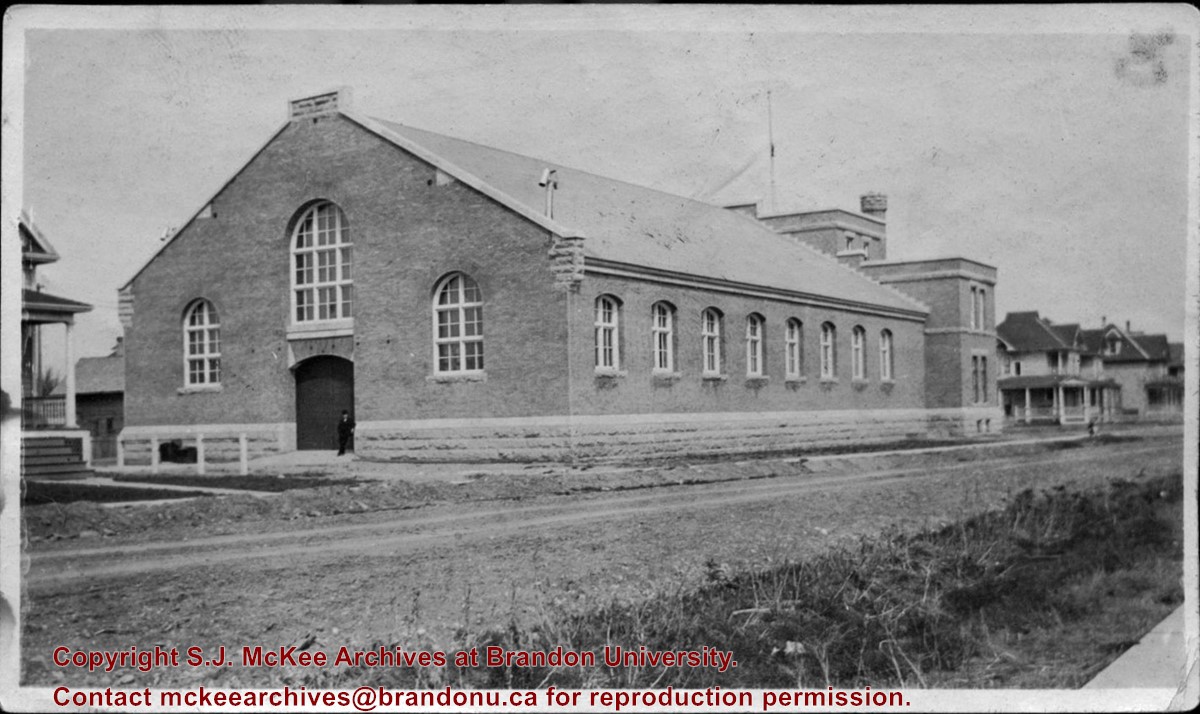
The Brandon Armoury was built in 1907. The extension on the southside was built in 1937.
Custodial History
The photograph was donated to the Archives by Cy Kenny in 2005.
Scope and Content
Photograph is looking northwest from the east side of 11th Street. It shows the back and east side of the Brandon Armoury, which is located on the at 1116 Victoria Avenue.
Photograph is looking northwest probably from the northwest corner of 18th Street and Louise Avenue. The photographer was laying down when s/he took the shot. Photograph shows the field to the south of the Citizens' Science Building, as well as the Citizens' Science Building, part of the Brandon College Building and Clark Hall, and two H-Huts. The photo was taken in summer as the field is full of dandelions.
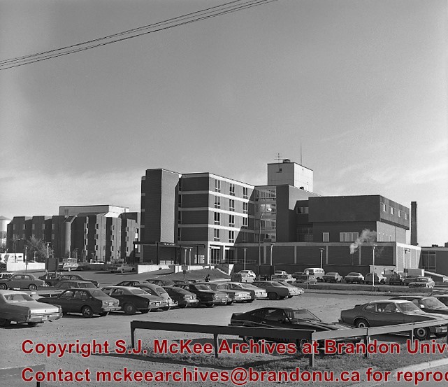
View is southwest from approximately 18th Street and Lorne Avenue. Photograph shows the Brandon University campus in winter, including: the Brandon University sign, the John R. Brodie Science Centre, the Citizens' Science Building and McMaster Hall.
View is southwest from the north side of Princess Avenue. Photograph shows the original Music Building, the north driveway entrance and parts of Clark Hall and the Brandon College building.
.jpg?width=1200&404=no-img.jpg&watermark=wmk)
.jpg?width=180&404=no-img.jpg)
.jpg?width=1200&404=no-img.jpg&watermark=wmk)
.jpg?width=180&404=no-img.jpg)
.jpg?width=1200&404=no-img.jpg&watermark=wmk)
.jpg?width=180&404=no-img.jpg)
.jpg?width=1200&404=no-img.jpg&watermark=wmk)
.jpg?width=180&404=no-img.jpg)


.jpg%3fmaxheight%3d1000%26maxwidth%3d1000%26watermark%3dwmk&description=Brandon+townhouses)
.jpg%3fmaxheight%3d1000%26maxwidth%3d1000%26watermark%3dwmk&description=Brandon+townhouses)
.jpg%3fmaxheight%3d1000%26maxwidth%3d1000%26watermark%3dwmk&description=Brandon+townhouses)
.jpg%3fmaxheight%3d1000%26maxwidth%3d1000%26watermark%3dwmk&description=Brandon+townhouses)