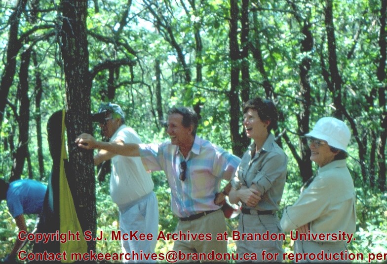
The high biodiversity and evidence of pre-Europeon contact prompted the decision to test the Crepeele locale. The survey was named in recognition of the Casselman family, the original landowners.
Archaeological testing began in the Crepeele locale in May 2003 on property now owned by the Crepeele family. The locale covers over 6 sections or approximately 3,800 acres of land in an area of stabilized sand dunes and wetlands covered with mixed forest and prairie grass. Given the terrain, the size of the crew and time constrains, an area of approximately 60 acres was chosen for the survey. The survey used the established archaeological methodology of walking the selected area and using a shovel test surveyed grid. The use of GIS technology to locate the exact test spot and record the information into a GIS database was a significant advance and was one of the advantages of the integration of multi-disciplinary techniques encouraged by the SCAPE project. Over one half of the test pits resulted in the recovery of cultural materials. The results of the Casselman survey indicated several areas for further examination including areas that became the Crepeele, Sarah and Graham sites.
Scope and Content
Sub sub series has been divided into five sub sub sub series including: (1) Summary information; (2) Field journals; (3) Site records; (4) Artifact catalogues; and (5) Photographs.
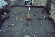
In 1988 four 1m2 units were excavated in this Block F. The forest cover is identical to that of Block E, with an open oak forest with a light understory of saskatoon, hazelnut, poison ivy and sarsaparilla.
Underneath the litter mat (Ah) is a shallow, 15-20 cm “A” horizon of dark grey/brown silty loam with a high representation of pebble size clasts. The glacial clays, encountered at 20 cm below surface, consist of a matrix of light tan sandy clays containing rounded pebble to cobble size rocks.
The recoveries from this block consisted of a few ceramics, including Vickers Focus rim sherds, four lithic tools and a number of small bison bone fragments. There was no discernible cultural stratigraphy in the four 1m2 units and the limited deposits of bone, ceramics and lithics were dispersed randomly throughout the 25 cm of cultural matrix. The lithic materials frequencies were similar to those in Block E with local cherts and KRF being the most abundant categories. A small amount of fire-cracked rock and a few large identifiable bison bones were recovered – all distributed randomly with little evidence for any pattern of clustering.
No RC dates.
Scope and Content
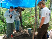
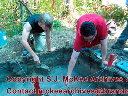
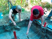
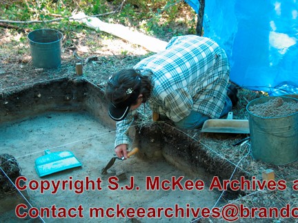
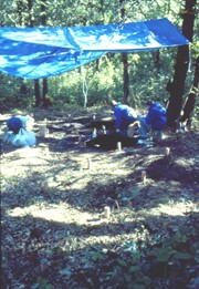
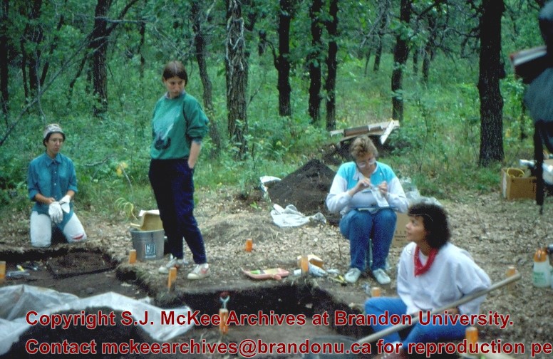
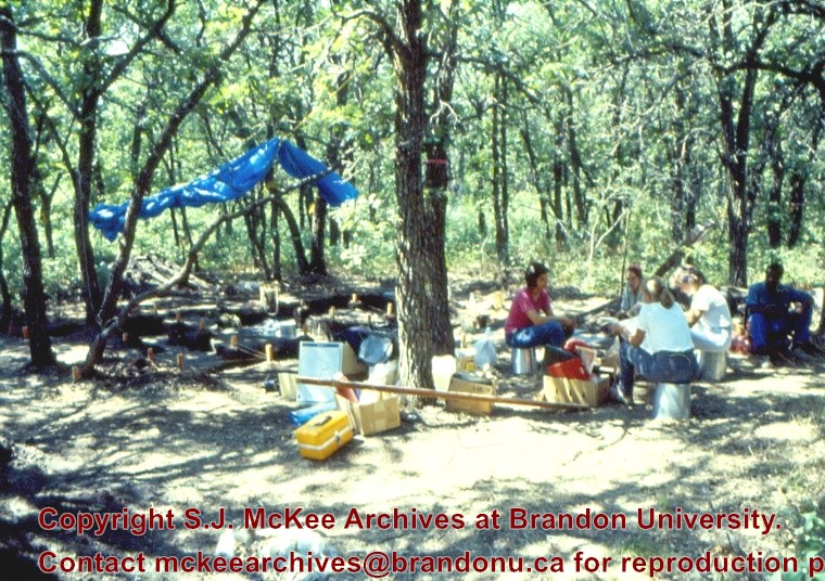
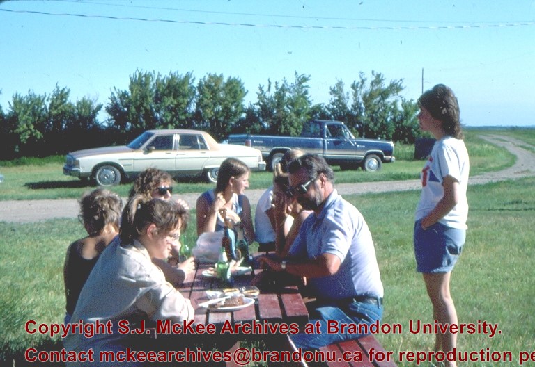
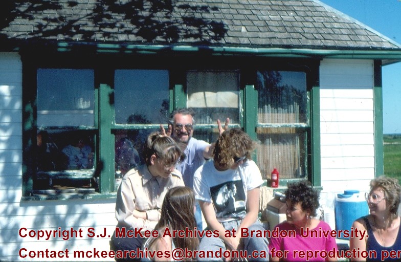
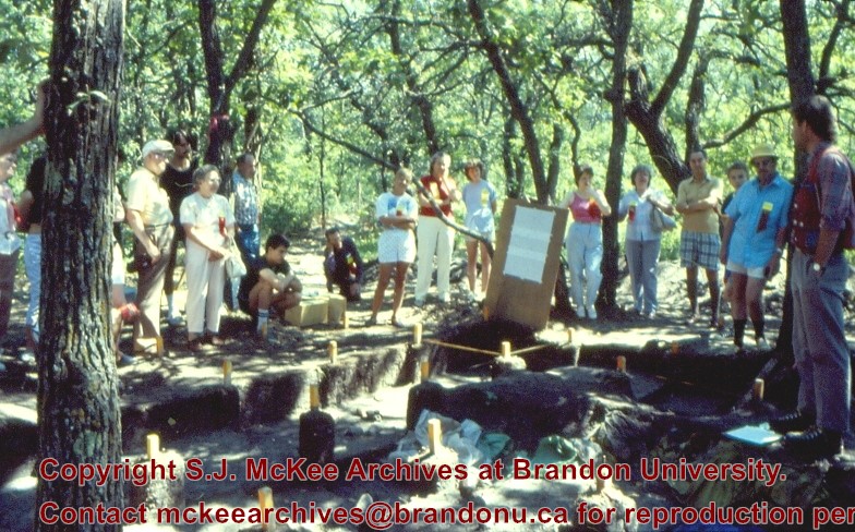
Sub-sub-sub series contains: Summary information of field methology, number and co-ordinates of excavations, personnel and their staff position; Field journals are daily records of recoveries, features and activities at the site; Site records include excavation level and unit summaries, feature sheets, profiles; sample records and maps; Artifact catalogues are lists and identifications of all artifacts recovered; Photographs are of excavation units, features, the landscape and personnel.
In 1988 four units were excavated in Block G. The vegetation is similar to other areas in the locale with an open oak forest with a light understory of saskatoon, hazelnut, poison ivy and sarsaparilla.
Excavations recovered artifacts between 0 cm – 15 cm b.s. The cultural deposits are very shallow and it is quite possible that what appears to be a single occupation may in fact represent multiple occupation compressed deposits as a result of deflation or the lack of sedimentation in this raised area. This latter view is supported by the ceramics which appear to be a mixture of Blackduck and Vickers Focus wares.
The frequency and distribution of cultural material from block G contrasts with that of other sites in the locale. While the diagnostic materials are similar, the nature of the background debris and the associated lithic assemblage suggests that this area was utilized for a different set of activities.
Unlike Blocks E and H, there is very little in the way of ceramics, fire-cracked rock or bison bone, yet a significant amount of lithic debitage and six Plains/Prairie Side-notched projectile points were recovered. No unifaces or scrapers were recovered. This may be an area where activities such as manufacture and hafting of projectile points; hunting activities, butchering and refuse disposal took place.
No RC dates were taken.
Scope and Content
Sub-sub-sub series contains: Summary information of field methology, number and co-ordinates of excavations, personnel and their staff position; Field journals are daily records of recoveries, features and activities at the site; Site records include excavation level and unit summaries, feature sheets, profiles; sample records and maps; Artifact catalogues are lists and identifications of all artifacts recovered; Photographs are of excavation units, features, the landscape and personnel.
The vegetation in block H is similar to other areas in the locale with an open oak forest with a light understory of saskatoon, hazelnut, poison ivy and sarsaparilla.
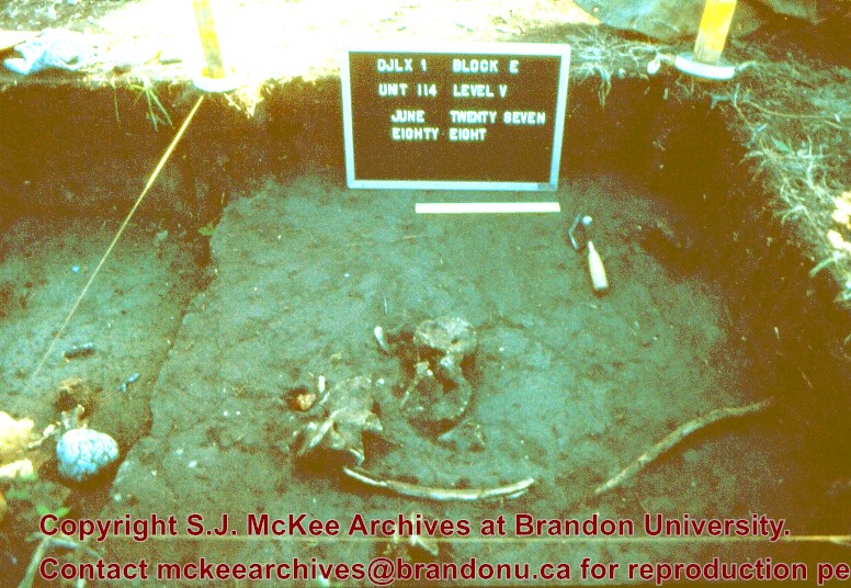
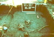
The excavations of the eight 1m2 units in 1988 resulted in the recovery of over 650 ceramic fragments including 20 rim sherds from at least four vessels, a grooved maul, fire-cracked rock, lithic debitage and a reworked Avonlea projectile point. A large amount of bison bone, including a number of axial elements and a fragmented skull were also recovered.
Based on the 1988 recoveries at the site further excavations took place in 1991. Nine excavation units were opened next to the previous excavations. Another 250 ceramic sherds were recovered in 1991. Nine vessels have been identified based on rim sherds. Vickers Focus and Woodland vessels have been identified and two vessels similar to Scattered Village Complex were recovered.
The lithic material assemblage is intermediate between Blocks G and E with KRF being the most frequent material category followed by local cherts.
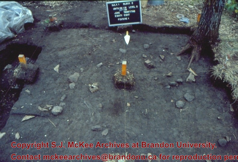
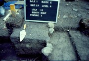
Two features, a hearth and a curvilinear arrangement of rock were recovered. The high numbers of ceramic fragments suggests a habitation area, rather than hunting or butchering behavior. However, the separation of occupations at the site is difficult to establish and there may be different uses of the site by successive occupations.
Radiocarbon dates from this block indicate two occupations separated in time by some 300 years. XU 181 – 405/110 BP and XU 184 – 780/110 BP.
Scope and Content
Sub-series has been divided into sub sub series including: Lovstrom Block H 1988 and Lovstrom Block H 1991.


