See fonds level description of the Alf Fowler collection for custodial history.
Scope and Content
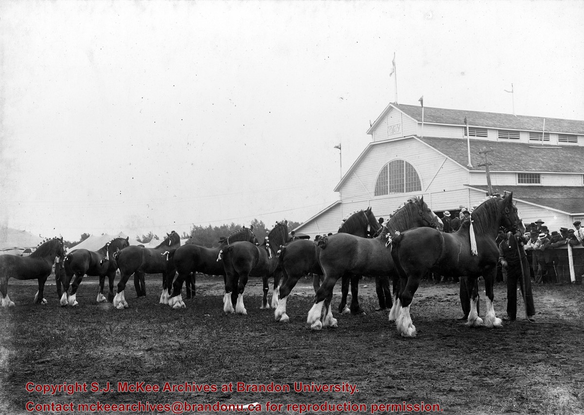
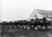
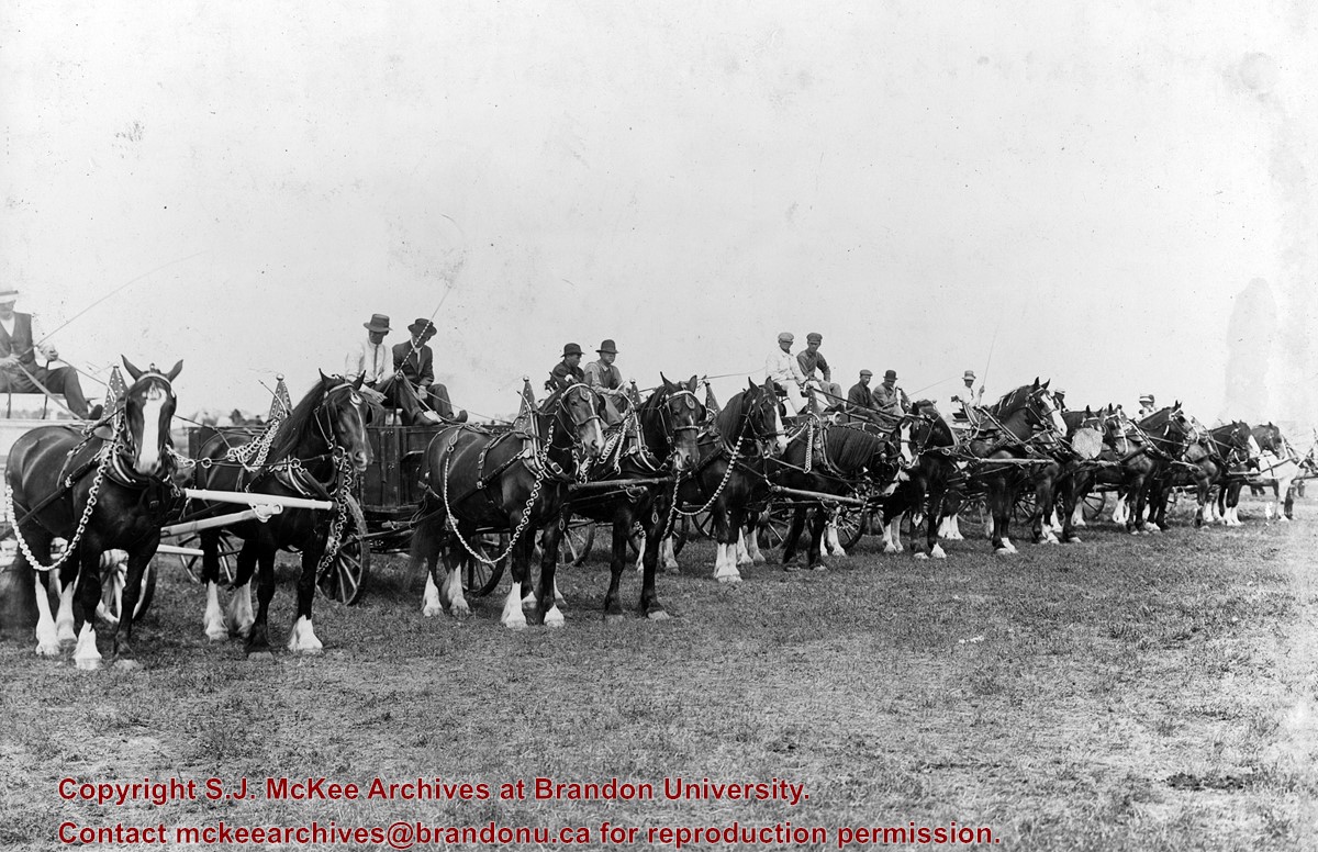
Photo shows a number of clydesdale horses inside a show ring or pen at the Inter-Provincial Fair in 1912. The view is from inside the ring or pen, looking at the rear of the horses, a fair building and some of the spectators.
Notes
Photograph includes negatives.
Storage Range
RG 5 Western Manitoba Manuscript collection - photograph storage drawer
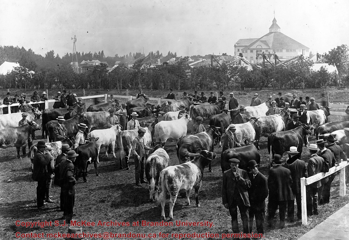
See fonds level description of the Alf Fowler collection for custodial history.
Scope and Content
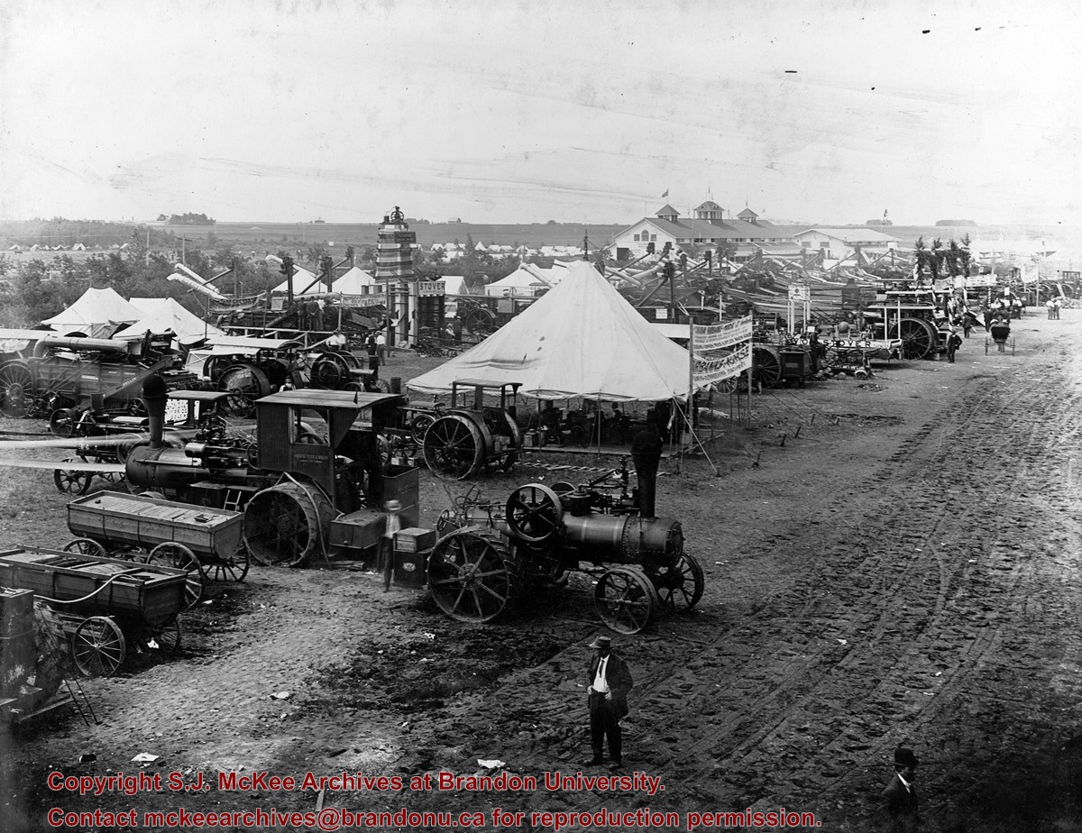
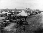
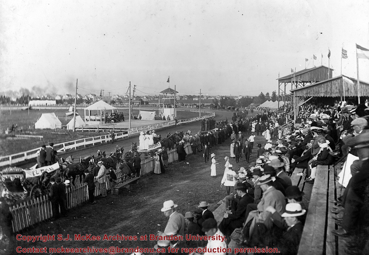
Photo shows a stock parade at the Inter-Provincial Fair held on the Exhibition Grounds (now the Keystone Grounds) in 1912. The stock parade was held at the Grand Stand.
Storage Range
RG 5 Western Manitoba Manuscript collection - photograph storage drawer
See fonds level description of RG 4 for history/bio of MPE
Scope and Content
This sub-series consists of MPE's involvement in four different inter-provincial committees: Canadian Co-operative Wheat Producers, Inter-provincial Co-operative Ltd, Inter-provincial Pool Board, and Canadian Pool Agencies. The records include the following:
Box 1:
Canadian Co-operative Wheat Producers Minute Book 1924-1944
Canadian Co-operative Wheat Producers / Prairie Pools Minute Book 1945-1983
1a. Inter-provincial Co-operative Ltd. 1966-1979
1b. Inter-provincial Co-operative Ltd. 1965-1979
1c. Inter-provincial Co-operative Ltd. meeting in Toronto Sept 25 1979
1d. Inter-provincial Co-operative Ltd. By-laws 1960-1963
2a. Inter-provincial Pool Board Minutes 1971-1983
2b. Inter-provincial Pool Board Minutes & By-laws 1971-1983
2c. Inter-provincial Co-operative Limited Board and Annual Meeting Minutes 1980, 1982
3a. Co-operative Union of Manitoba Organizing Documents and Minutes 1953-1964
3b. Co-operative Union of Manitoba Minutes March 31 1959 - June 16 1966
4. POS Pilot Plant 1973 - 1975
Box 2:
Inter-provincial Pool Board Minute Book 1945-1984
Canadian Co-operative Wheat Producers Limited / Canadian Pool Agencies Limited Minute Book 1924-1944
Canadian Pool Agencies Limited Minute Book 1945-1980
5. Co-operative Crop Development Group Constitution and Annual Reports 1984-1993
6. Prairie Pools Inc. Directors Reports 1985-1986
Notes
Description by Jillian Sutherland (2009)
Documents for the Canadian Co-operative Wheat Producers can be found in MPE B.2
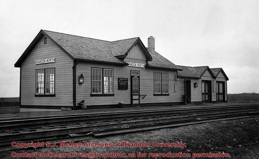
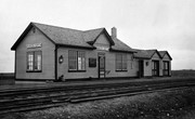
[This station, located 13 km north of Brandon on the east side of PTH 10, was] built in the early 1930s to replace Knox as the CNR’s mainline station for Brandon. All passenger trains stopped and buses operated between the CNR’s Brandon station and Brandon North to meet all trains. It was enlarged as shown here in late 1930s, and at peak operation in the 1940s & 1950s saw six daily passenger trains 1 - 2 & 3 - 4 “Continental Limited” and 11 - 12 locals. VIA trains 3 and 4 "Supercontinental" ceased operation Nov. 15, 1981 leaving no passenger service on the former Grand Trunk Pacific mainline of CNR [at that time]. This station was demolished in the fall of 1982.
Custodial History
For custodial history see the collection level description of the Lawrence Stuckey collection.
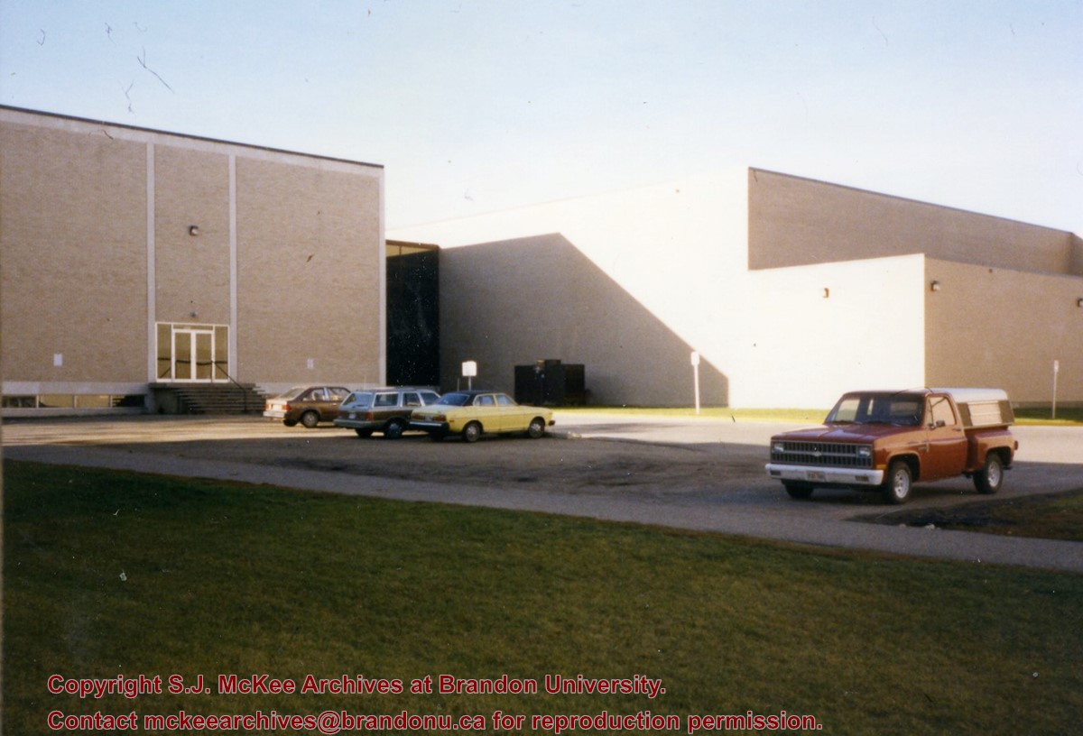
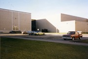
Photograph is looking southwest from in front of the Original Music Building and shows the north side of the A.E. McKenzie Building and the west side of the Queen Elizabeth II Music Building (including the link). A number of cars in the parking lot are also visible.
Radiocarbon date reports have been scanned in multi-page PDF files.
History / Biographical
The North Lauder locale has a long archaeological and geological history that is important for understanding the forces that shaped the region. Archaeological research in the locale shows that the area has been occupied by humans for at least the past 6,500 years. Environmental forces provided an area of diverse resources that attracted early peoples.
Archaeologists from Brandon University have been conducting research in the North Lauder locale that has focused on the Atkinson site, a 6,500 year old hunter-gatherer site and Flintstone Hill.
The geomorphology of the glacial Lake Hind Basin over the past 11,000 years is known primarily through the study of a cut bank along the Souris River. Flintstone Hill contains the most complete stratigraphic record for the post-glacial period on the northern plains. The site has been extensively studied by geoarchaeologists, geologists and paleoenvironmentalists over many years and their findings have contributed to our understanding of the region.
Radiocarbon dates were obtained from the Atkinson site and Flintstone Hill.
Radiocarbon dating
The technique of radiocarbon dating was developed by Willard Libby and his colleagues at the University of Chicago in 1949.
Radiocarbon dating is used to estimate the age of organic remains from archaeological sites. Organic matter has a radioactive form of carbon (C14) that begins to decay upon death. C14 decays at a steady, known rate of a half life of 5,730 years. The technique is useful for material up to 50,000 years. Fluctuations of C14 in the atmosphere can affect results so dates are calibrated against dendrochronology. Radiocarbon dates are calibrated to calendar years.
Dates are reported in radiocarbon years or Before Present. Before Present refers to dates before 1950. The introduction of massive amounts of C14, due to atomic bomb and surface testing of atomic weapons, has widely increased the standard deviation on all dates after A.D. 1700 causing these dates to be unreliable.
Accelerated mass spectrometry can more accurately measure C14 with smaller samples and can date materials to 80,000 years.
Scope and Content
Sub sub series contains radiocarbon dates from: the Atkinson site and Flintstone Hill.
View is southwest from the north side of Princess Avenue. Photograph shows the north driveway entrance on campus. The original Music Building, the A.E. McKenzie Building, Clark Hall and part of the Brandon College Building are visible.
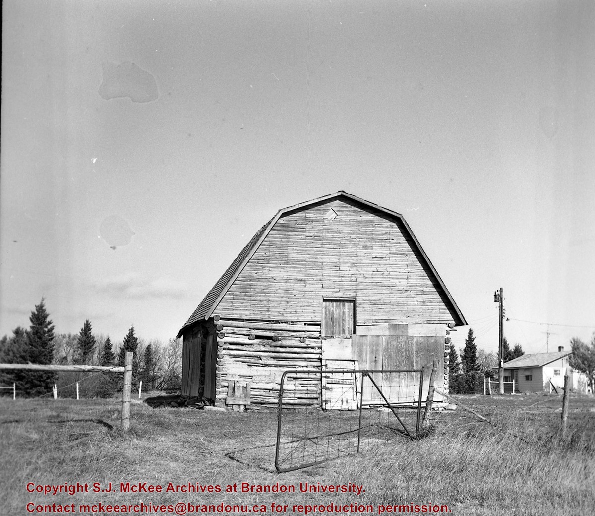
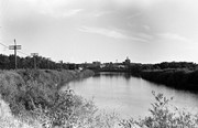
This bridge was condemned in the late 1930s but cyclists continued to use it until it was torn down (approximately 1940)
Until the early 1920s the Canadian Pacific Railway maintained a well and pumping station near the southeast corner of this bridge, which pumped water through a pipeline to a locomotive watering tank at Kemnay.
Custodial History
For custodial history see the collection level description of the Lawrence Stuckey collection.
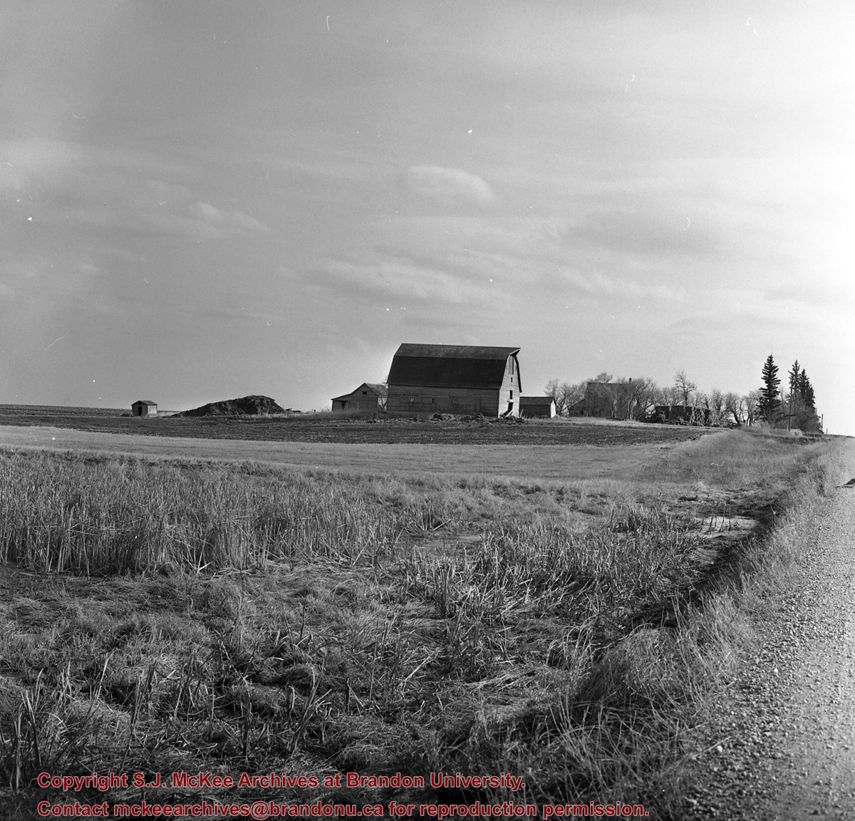
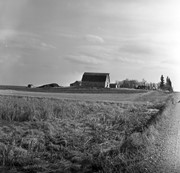
Scope and Content
Assiniboine River Bridge North of Kemnay
Notes
[Mr. Stuckey put a negative and print in the same envelope. We have separated them, numbering the negative OB5(1) and the print OB5(1a).]
This bridge was condemned in the late 1930s but cyclists continued to use it until it was torn down (approximately 1940)
Until the early 1920s the Canadian Pacific Railway maintained a well and pumping station near the southeast corner of this bridge, which pumped water through a pipeline to a locomotive watering tank at Kemnay.
Custodial History
For custodial history see the collection level description of the Lawrence Stuckey collection.
Scope and Content
Assiniboine River Bridge North of Kemnay
Notes
[Mr. Stuckey put a negative and print in the same envelope. We have separated them, numbering the negative OB5(1) and the print OB5(1a).]


.jpg?width=1200&404=no-img.jpg&watermark=wmk)
.jpg?width=180&404=no-img.jpg)
.jpg?width=1200&404=no-img.jpg&watermark=wmk)
.jpg?width=180&404=no-img.jpg)

.jpg%3fmaxheight%3d1000%26maxwidth%3d1000%26watermark%3dwmk&description=Assiniboine+River+Bridge+North+of+Kemnay)
.jpg%3fmaxheight%3d1000%26maxwidth%3d1000%26watermark%3dwmk&description=Assiniboine+River+Bridge+North+of+Kemnay)