Modern school geography and atlas : authorized by the councils of Public Instruction for the provinces of Ontario, Quebec, New Brunswick and Prince Edward Island
File consists of a description of the fund, correspondence, pledge information, reports, a blank application, and financial information including a financial statement.
Storage Location
RG 6 Brandon University fonds
Series XV: BUFA
Box 9
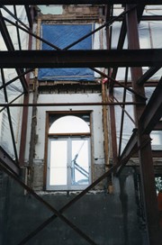
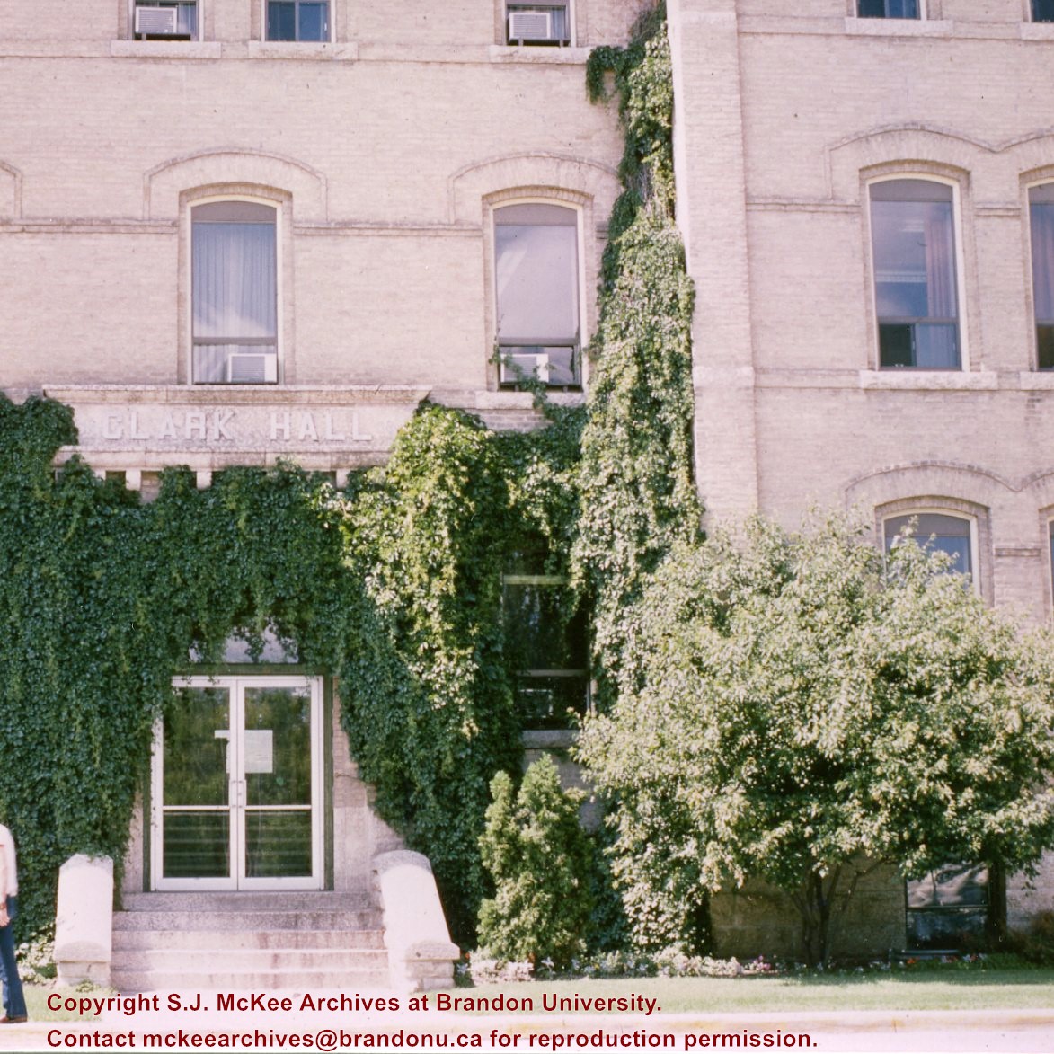
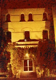
Photograph was taken from inside the building looking out onto the courtyard. It shows scaffolding around the hole in the wall that would become the rear entrance to the Brandon College Building and Clark Hall.
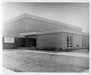
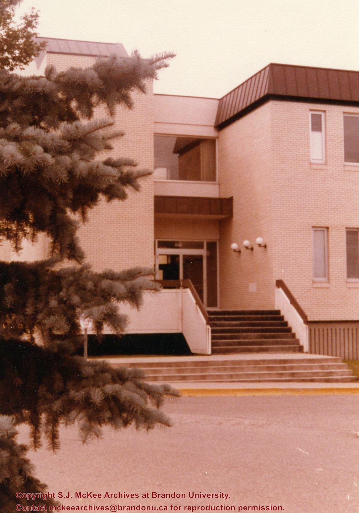
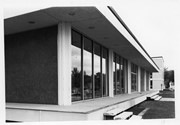
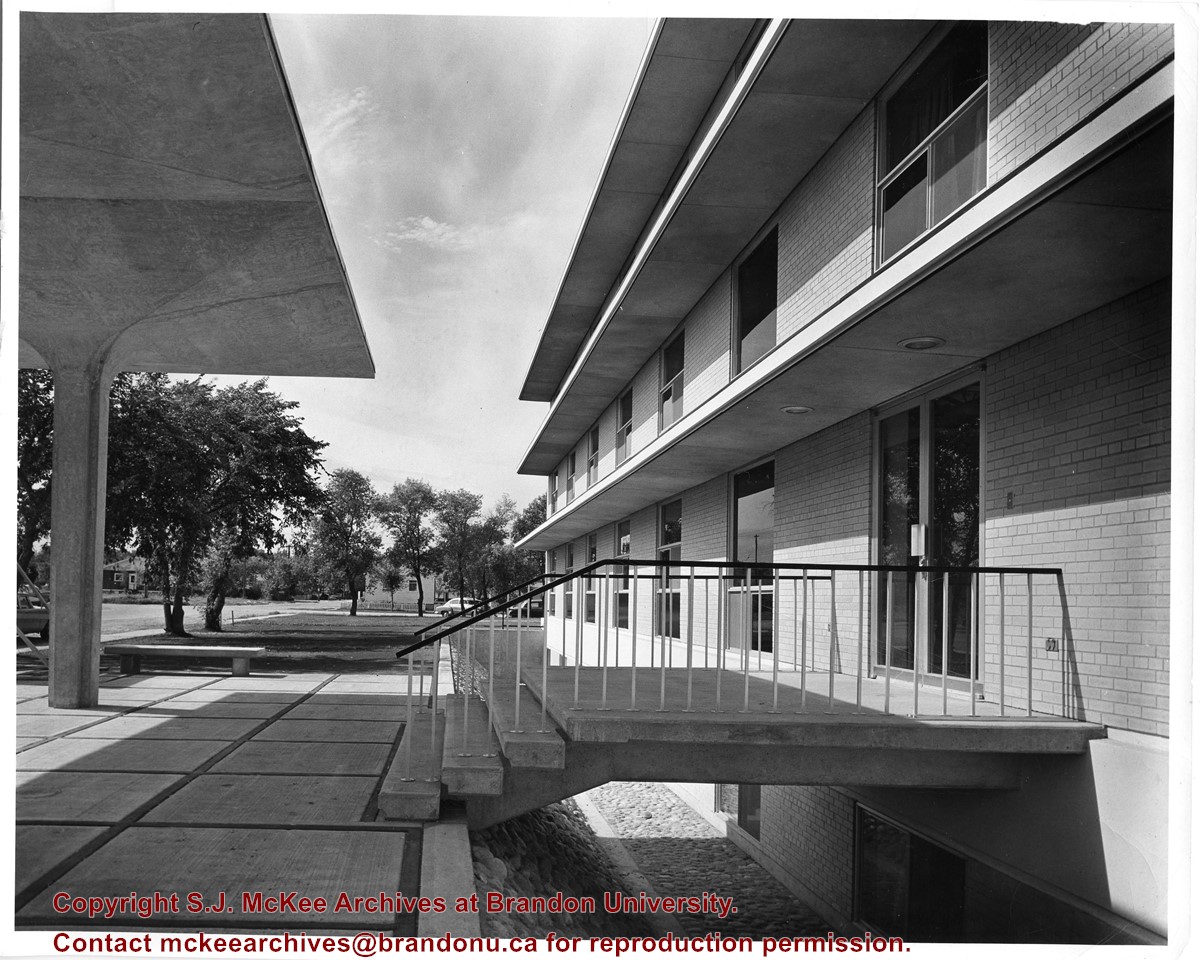
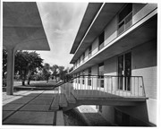
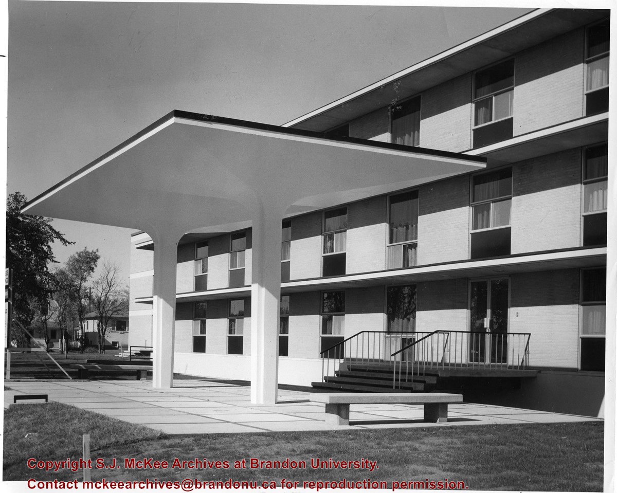
Photograph is looking west and shows the entrance to Flora Cowan Hall and the west side of the building. Also visible are portions of 20th Street and Louise Avenue before the construction of the Gymnasium or the Site Services Building.
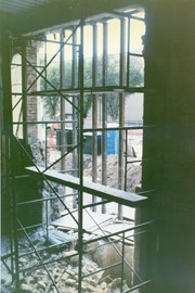
Photograph is looking west northwest and shows the entrance to Flora Cowan Hall as well as a couple of houses on 20th Street where the present day Site Services Building stands.
See MG 3 1.7 John Welsted fonds for History/Bio information.
Custodial History
See MG 3 1.7 for Custodial History.
Scope and Content
Box contains mainly physical and human geography (of Manitoba) slides. Slide subjects in this box include:
Assiniboine flooding in date order - Brandon; Brandon - the Assiniboine; dams; Brandon Hills; land forms - SW - Manitoba; Bald Head Hills - Spruce woods; Flin Flon; Manitoba flooding; floods/flood protection - Maniotba; Manitoba, areas of; signs and monuments; landforms of SW Manitoba; Souris River; Assiniboine at Brandon; towns and villages - Manitoba; barns; Brandon - Ukrainian area; Manitoba satellite views; and Hutterites.
/17-2011_3.jpg?width=1200&404=no-img.jpg&watermark=wmk)
/17-2011_3.jpg?width=180&404=no-img.jpg)


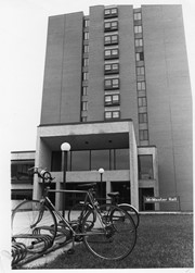


%2f17-2011_3.jpg%3fmaxheight%3d1000%26maxwidth%3d1000%26watermark%3dwmk&description=School+entrance)