The Brandon University Photograph collection is an artifically created collection. It includes photographs from both Brandon College and Brandon University.
Custodial History
The custodial history is varied. Some photographs were created by officers of the College and the University, or were produced at the request of the institution. Many, as well, have been donated by former faculty members and students. We have tried to record the custodial history for photographs that have been donated by faculty members and students at the item level.
Scope and Content
Fonds has been divided into eleven series, including: (1) Convocation, Scholarships and Awards; (2) Campus Buildings; (3) Library Activities and Archives; (4) Faculties and Schools; (5) Student Activities; (6) Administrative and Support Units; (7) Sports; (8) Portraits; (9) Oversize; (10) Special Events; and (11) Documents, Diplomas and Certificates.
See fonds level of the CKX records for custodial history.
Scope and Content
Image consists of an aerial view looking north at the intersection of Highways 1 and 10 and shows the British American dealer located at the intersection.
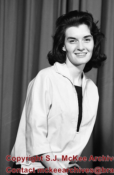
See fonds level of the CKX records for custodial history.
Scope and Content
Image consists of an aerial view looking southeast at the intersection of Highways 1 and 10 and shows the British American dealer located at the intersection.
See fonds level of the CKX records for custodial history.
Scope and Content
Image consists of an aerial view looking northeast at the intersection of Highways 1 and 10 and shows the British American dealer located at the intersection.
Photograph was taken from the roof of the Library and shows the walkway and flower bed on the southeast corner of the George T. Richardson Centre. The Physical Plant H-Hut is visible in the top right hand corner.
Brandon College looking south from 19th Street. Photograph was taken after Flora Cowan Hall was built but before construction of the Education Building.
Image shows the Brandon College campus from 17th Street looking southwest. The photo was taken after the completion of the original Music Building in 1963, but construction of the Education Building. Also visible are a number of properties on the 200 block of 18th Street and the 200 block of 20th Street.
View is southwest from approximatley 16th Street between Princess and Rosser Avenues. Photograph shows the Brandon University campus, as well as surrounding residential blocks, including Flemming, J.R. Reid and Vincent Massey schools.
View is west southwest from approximatley 16th Street between Princess and Lorne Avenues. Photograph shows the Brandon University campus, as well as surrounding residential blocks between 16th and 23rd Streets, Princess and Louise Avenues..
View is west from approximatley 17th Street between Lorne and Louise Avenues. Photograph shows a portion of the Brandon University campus (excluding the Education Building and anything north of it), as well as surrounding residential blocks from approximatley 17th Street to 22nd Street.
View is west northwest from approximatley 16th Street and Louise Avenue. Photograph shows the Brandon University campus, prior to the Library Extension, and a large portion of the city to the west of the campus.
View is northwest from approximatley 16th Street and Louise Avenue. Photograph shows the Brandon University campus, prior to the Library Extension, and a large portion of the city to the west of the campus.


 to (4).jpg?width=1200&404=no-img.jpg&watermark=wmk)
 to (4).jpg?width=180&404=no-img.jpg)
 to (3).jpg?width=1200&404=no-img.jpg&watermark=wmk)
 to (3).jpg?width=180&404=no-img.jpg)
%2520to%2520(4).jpg%3fmaxheight%3d1000%26maxwidth%3d1000%26watermark%3dwmk&description=Waterloo+Dutchmen)
%2520to%2520(3).jpg%3fmaxheight%3d1000%26maxwidth%3d1000%26watermark%3dwmk&description=Waterloo+Dutchmen)
)