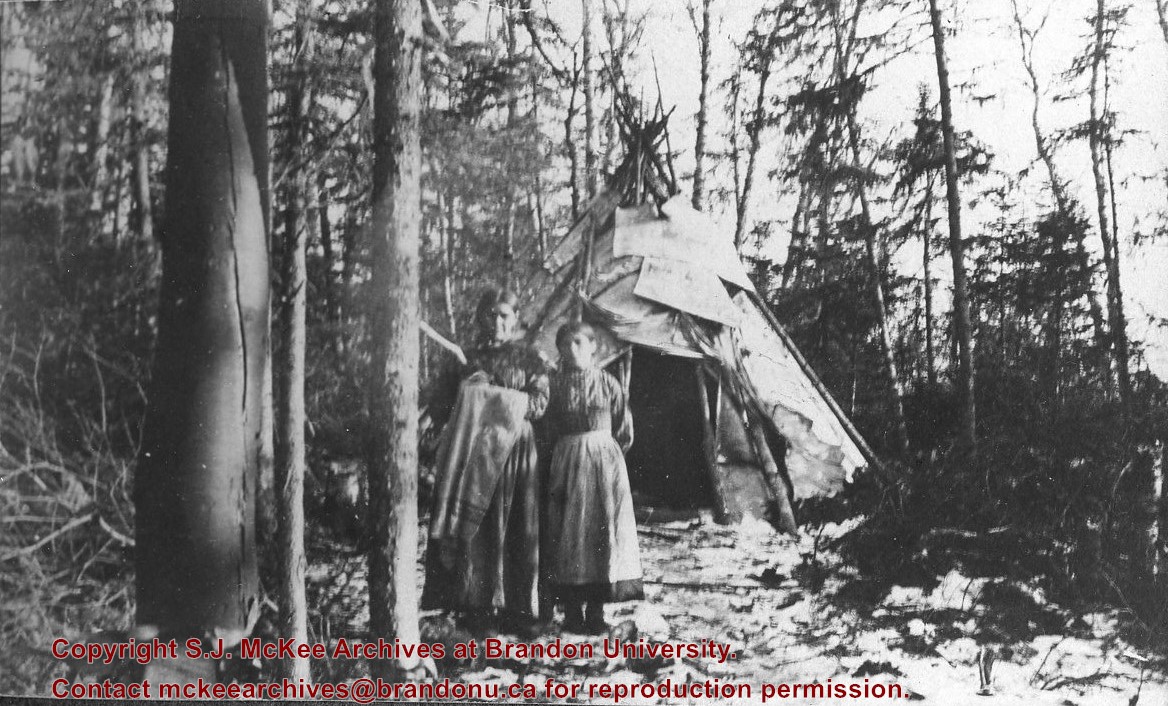
Photograph shows two aboriginal women standing before a tipi in the brush.
Notes
Writing beneath the photograph in the album reads: At the Indian Settlement. Based on provenience of images in the album, the aboringals in question may be from the Michipicoten band.
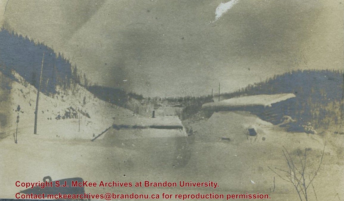
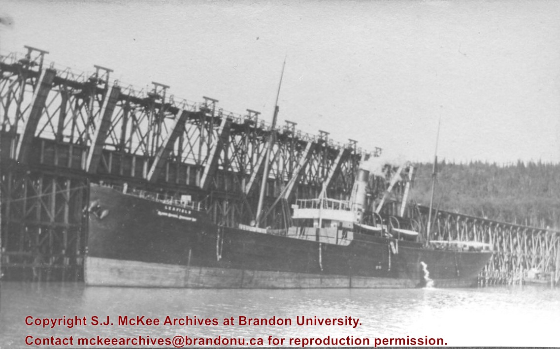
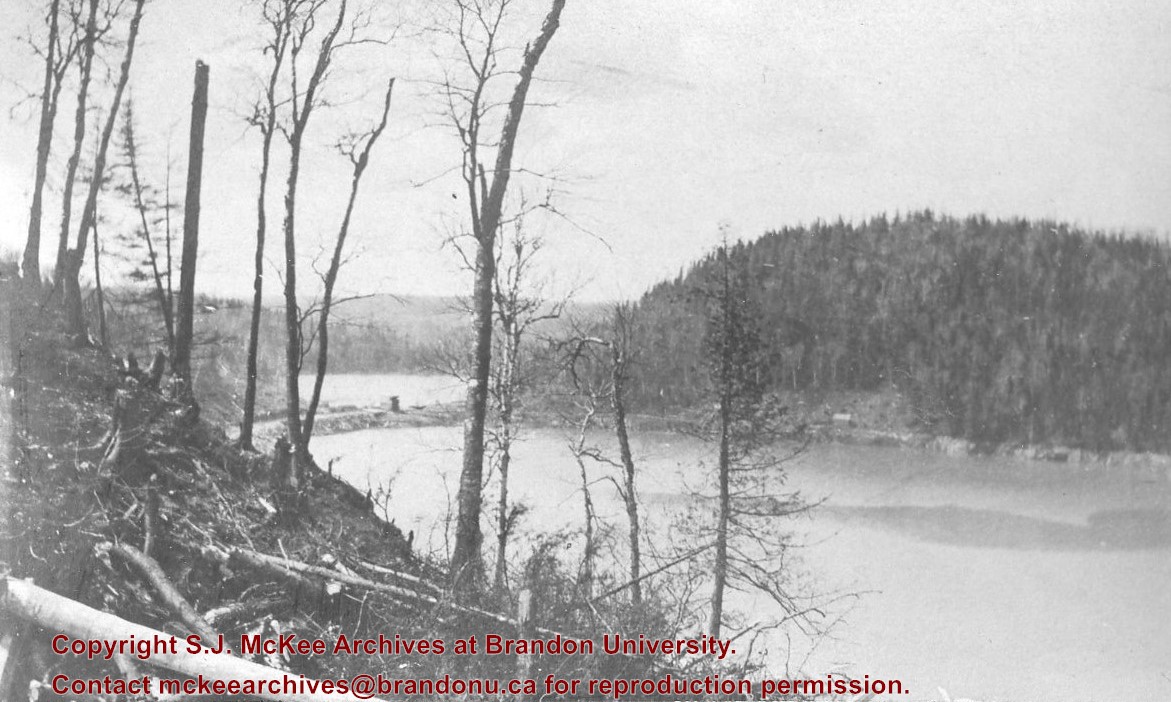
The Lake Talbot tresle was a point along the Algoma Central Railway line that connected the Helen Mine to the Michipicoten Harbour. It is located north of Wawa and southwest of the Helen Mine.
Scope and Content
Photograph shows several men walking a railway line. Before them is a tresle bridge.
Notes
Writing beneath the photograph in the album reads: Lake Talbott Tresle [sic.]
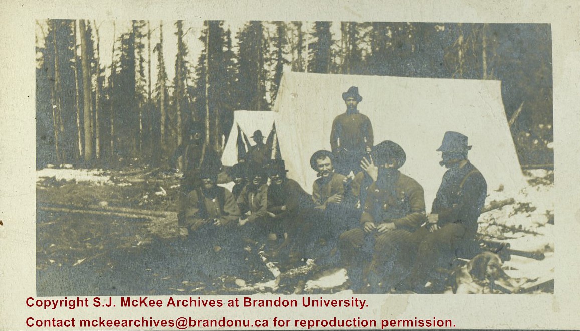
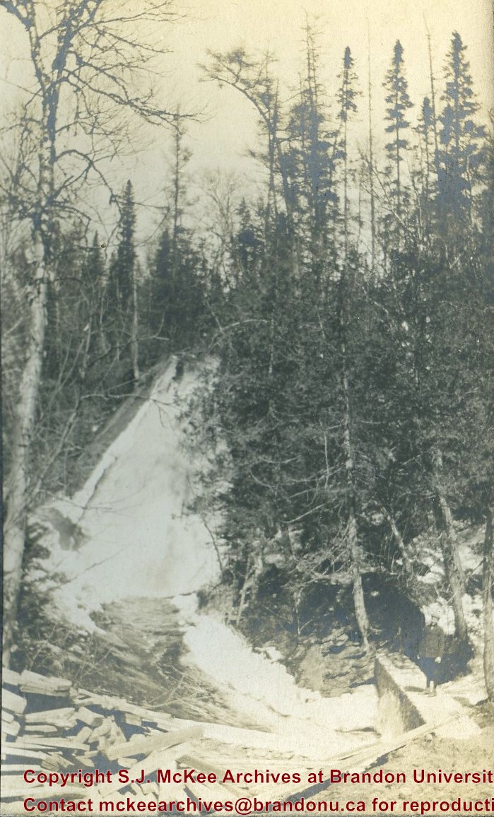
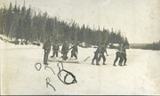
Photograph shows eight men on a frozen lake or river. Four men are harnessed to a toboggan loaded with logs. Four men walk alongside the toboggan with guide ropes.
Notes
Writing beneath the photograph in the album reads: Gettin in provisions
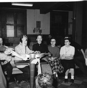
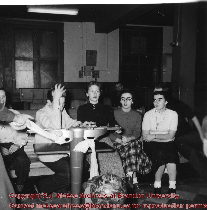
An album that was donated to the McKee Archives by Lenore (Gusdal) Dinsdale ’45. The album contains candid shots of student life from approximately 1942-45.There are 154 pictures of various sizes with explanations of the events and people photographed
Notes
RED ALBUM. Donated by: Lenore (Gusdal) Dinsdale ‘45
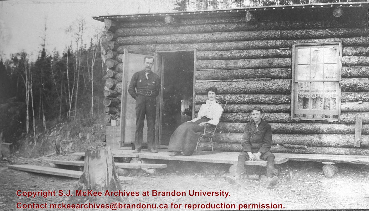
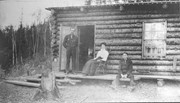
Photograph shows a family before a log cabin. A man wearing a long-sleeved shirt, tie, and vest with watch fob stands at the entryway to the home. A woman wearing a white blouse and long skirt sits on a rocking chair on a rough a rough-hewn porch. A boy wearing a pea coat sits on the porch to the right of the man and woman. Lace curtains are hanging in the window.
Notes
Writing beneath the photograph in the album reads: Mr. D.H. Hopkins and family
Trembley was a point along the Algoma Central Railway line that connected the Helen Mine to the Michipicoten Harbour. It is located southwest of Wawa, Ontario.
Scope and Content
Photograph shows railroad tracks. A line of ore cars stretch along one track. Writing on the side of one of the cars (#3017) reads: Algoma Central Railway Co.
Notes
Writing beneath the photograph in the album reads: Trembley - Ore Cars
Situated in the R.M. of Whitehead on the Little Saskatchewan River, the 10 Mile Dam was a 14 kilometer transmission line that supplied the city of Brandon with power. The Brandon Electric Light Company built the dam in 1900 and it is considered Manitoba's first hydroelectic power generating station. The dam spanned approximately 80 meters and was constructed from timber and reinforced with clay and stone. The station was decommissioned in 1924.
Scope and Content
Photograph shows 10 Mile Dam, also known as the Brandon Dam or Minnedosa River Hydro Plant.
Notes
Writing on the back of the photograph reads: "10 mile dam". Biographical information obtained from Manitoba Historical Society.
Situated in the R.M. of Whitehead on the Little Saskatchewan River, the 10 Mile Dam was a 14 kilometer transmission line that supplied the city of Brandon with power. The Brandon Electric Light Company built the dam in 1900 and it is considered Manitoba's first hydroelectic power generating station. The dam spanned approximately 80 meters and was constructed from timber and reinforced with clay and stone. The station was decommissioned in 1924.
Scope and Content
Photograph shows 10 Mile Dam, also known as the Brandon Dam or Minnedosa River Hydro Plant. The dam's timber construction is quite evident in the picture.
Notes
Writing on the back of the photograph reads: McGuinness (Manitoba Hydro), on Little Saskatchewan.
Austin Co-operative Elevator Association Limited Organizational papers: 1940 - 1967 Application to Province for members of company, 23 July 1940 Memorandum of Agreement, August 1940 First General meeting of members - rough draft and typed copy, 18 November 1940 Provisional Board of Directors meeting - rough draft and typed copy, 18 November 1940 Agreement between Austin CEA and MPE, 15 December 1966 By-law no. 11, 27 March 1967 Minutes of Executive Board meetings, volume 1, November 1942 - volume 4, 20 October 1967 Minutes of Shareholders Annual meetings, 1941 - 1966 (39 reports) Financial records and statistics Statement of surplus, 1941 - 1943, 1952 - 1957 Final statements, 1940 - 1943, 1945 - 1952 (10 reports) Auditors' reports, 1953 - 1955 (2 reports) Analysis of Operating Results, 1952 - 1957 (5 reports) Allocation of Surplus, 1951 - 1952 (2 reports) Detail of grain earnings, 1964 - 1966 (2 reports) Capital Expenditure, 31 July 1951 Analysis of Operating Results summary, 1951 - 1952 (1 report) Correspondence, 1940 - 1962 Membership list, 1944 - 1950, 1954, 1961 Miscellaneous Directors' attendance lists, 1946 - 1965 (7 reports) Officers and Directors list, 1951 - 1952 Officers and Directors list, 1952 - 1953 Officers and Directors list, 1955 - 1956 Corporate Name: Rural Municipality of North Norfolk; local Pool Committee mintues November 13, 1967 - January 19, 1981.
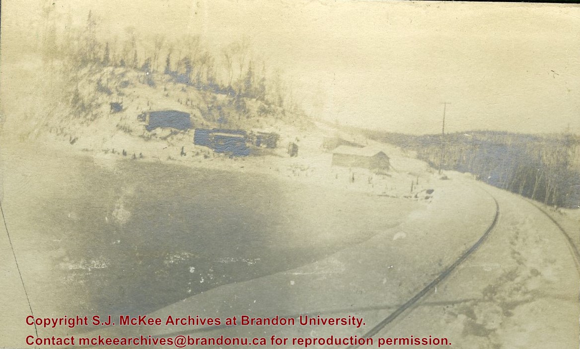
In 1901, American entrepreneur Francis Hector Clergue (1856-1939) obtained the charter for the Ontario, Hudson Bay and Western Railway. Following his purchase, he reincoporated the Algoma Central Railway to the Algoma Central and Hudson's Bay Railway. (Source: Sault St. Mairie Public Library, "Transportation - Algoma Central Railway," Sault History Online, 2008)
Scope and Content
Photograph shows railroad tracks cutting through the Canadian Shield.
Notes
Writing beneath the photograph in the album reads: Algoma Central & Hundson Bay Ry.


