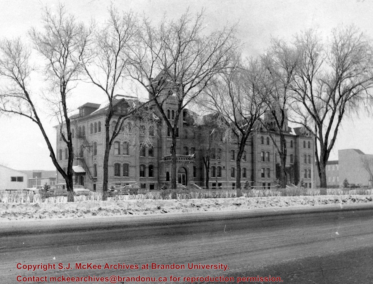
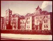
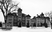
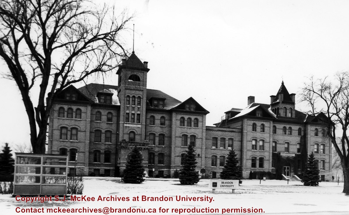
View is northwest from the east side of 18th Street. Photograph shows the Brandon College Building and Clark Hall in winter. The Education Building is visible in the background.
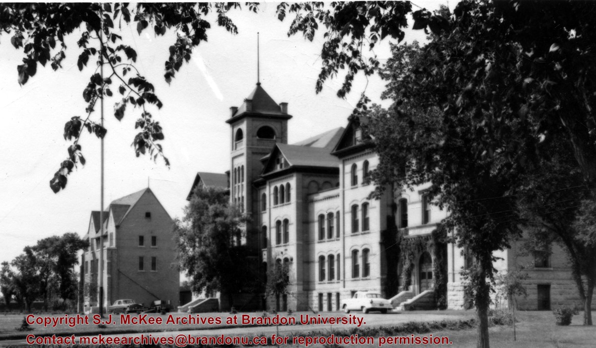
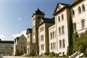
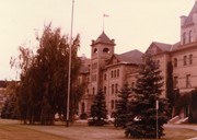
View is southwest. Photograph shows the Brandon College Building and Clark Hall, refered to as the Administrative Building, and the Citizens' Science Centre in the background.
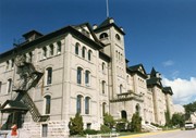
View is south southwest from the driveway. Photograph shows Clark Hall and the Brandon College Building with the Citizens' Science Building and John R. Brodie Science Centre in the background.
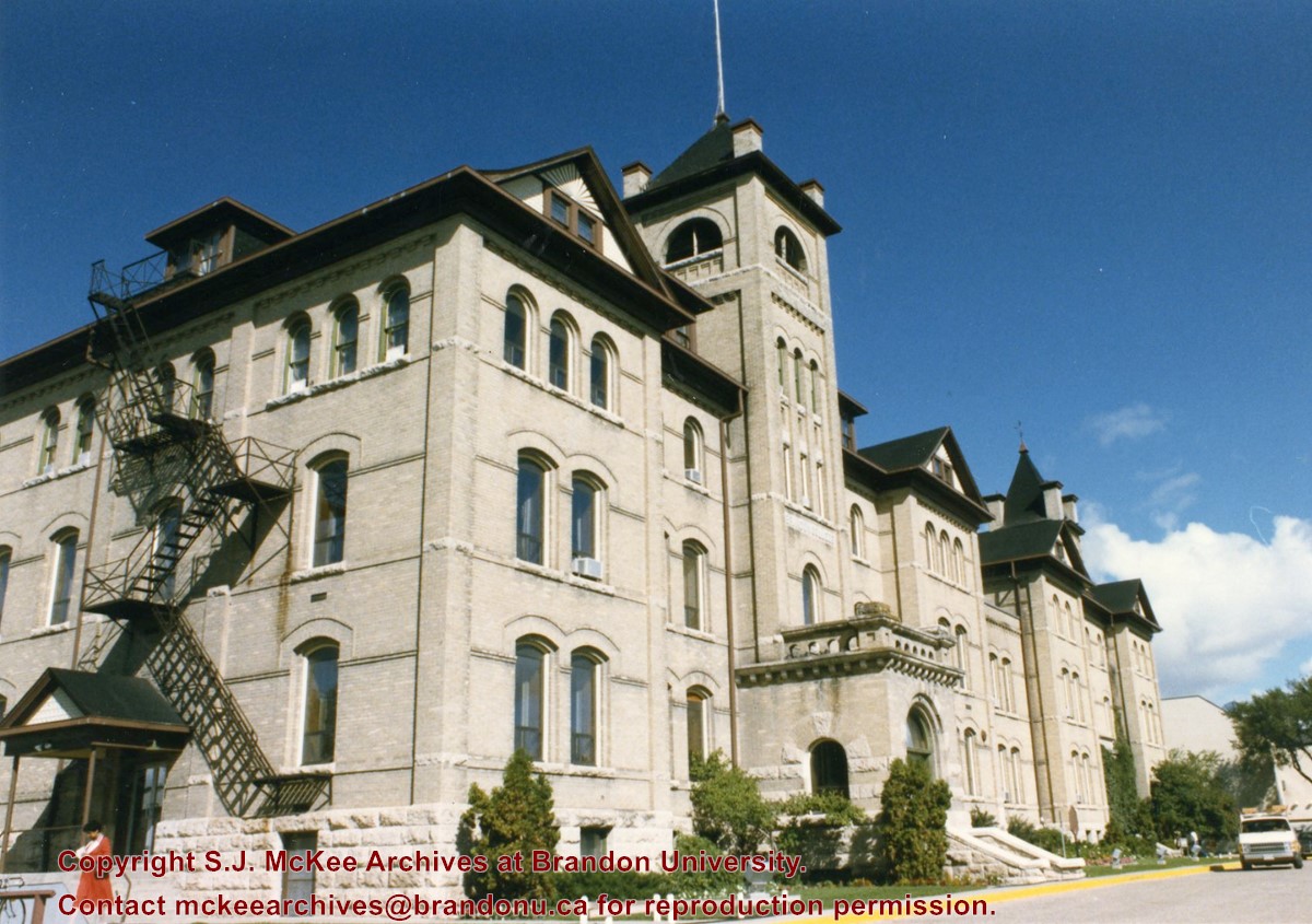
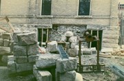
View is north northwest looking down the driveway past the Brandon College Building and Clark Hall. Photograph shows the south side of the Brandon College Building.
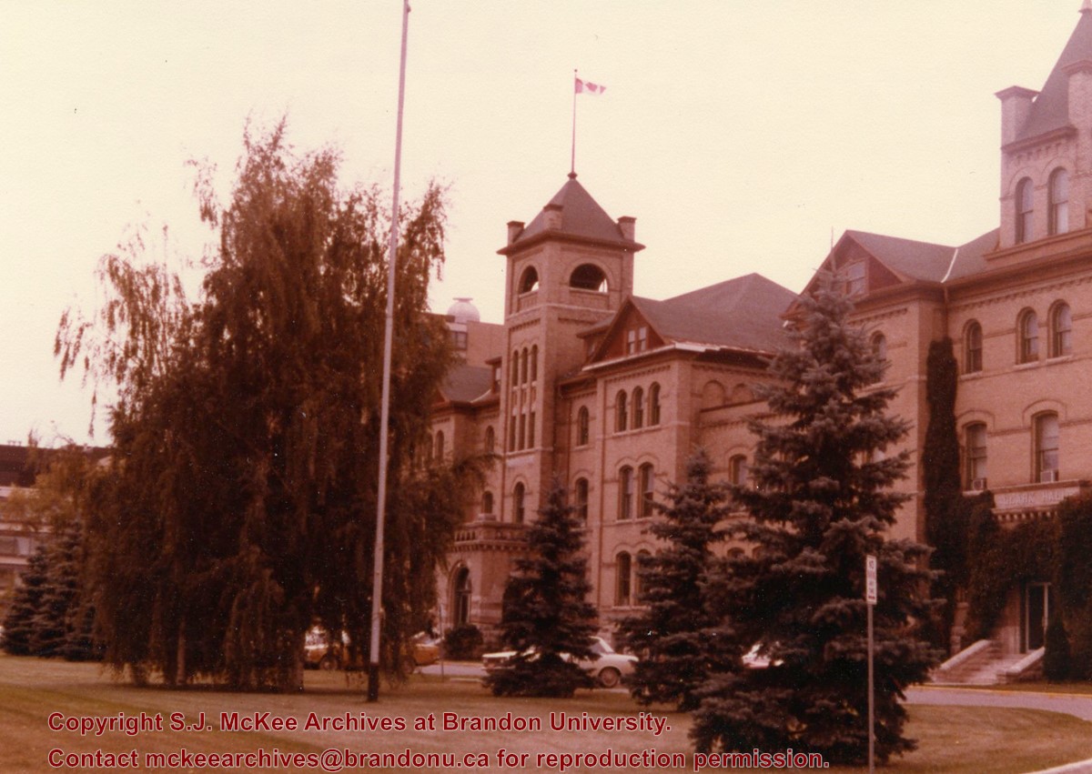
View is southwest from where the driveway meets 18th Street. Photograph shows the Brandon College Building (flying the Canadian flag on the tower), Clark Hall and the front lawn.
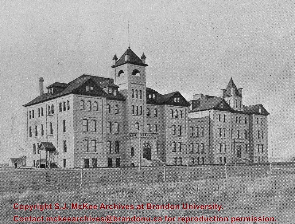
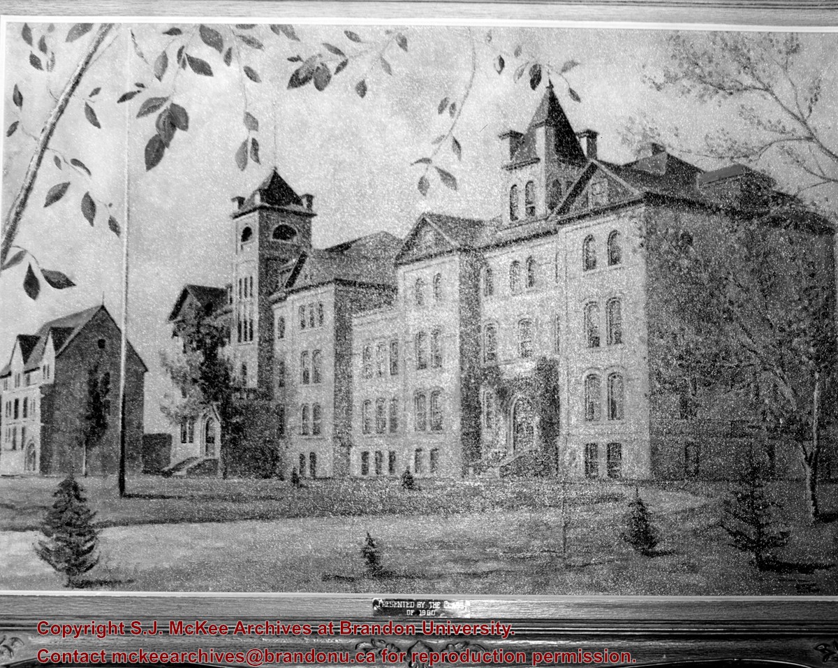
Photograph of a landscape of the Brandon College campus - showing the Brandon College Building, Clark Hall and part of the Citizens' Science Building - presented to the College by the Class of 1960.
Photograph is looking northeast from the south side of Louise Avenue and shows portions of Darrach Hall, Flora Cowan Hall and McMaster Hall. Part of the John R. Brodie Science Centre is also visible behind the trees along the street.
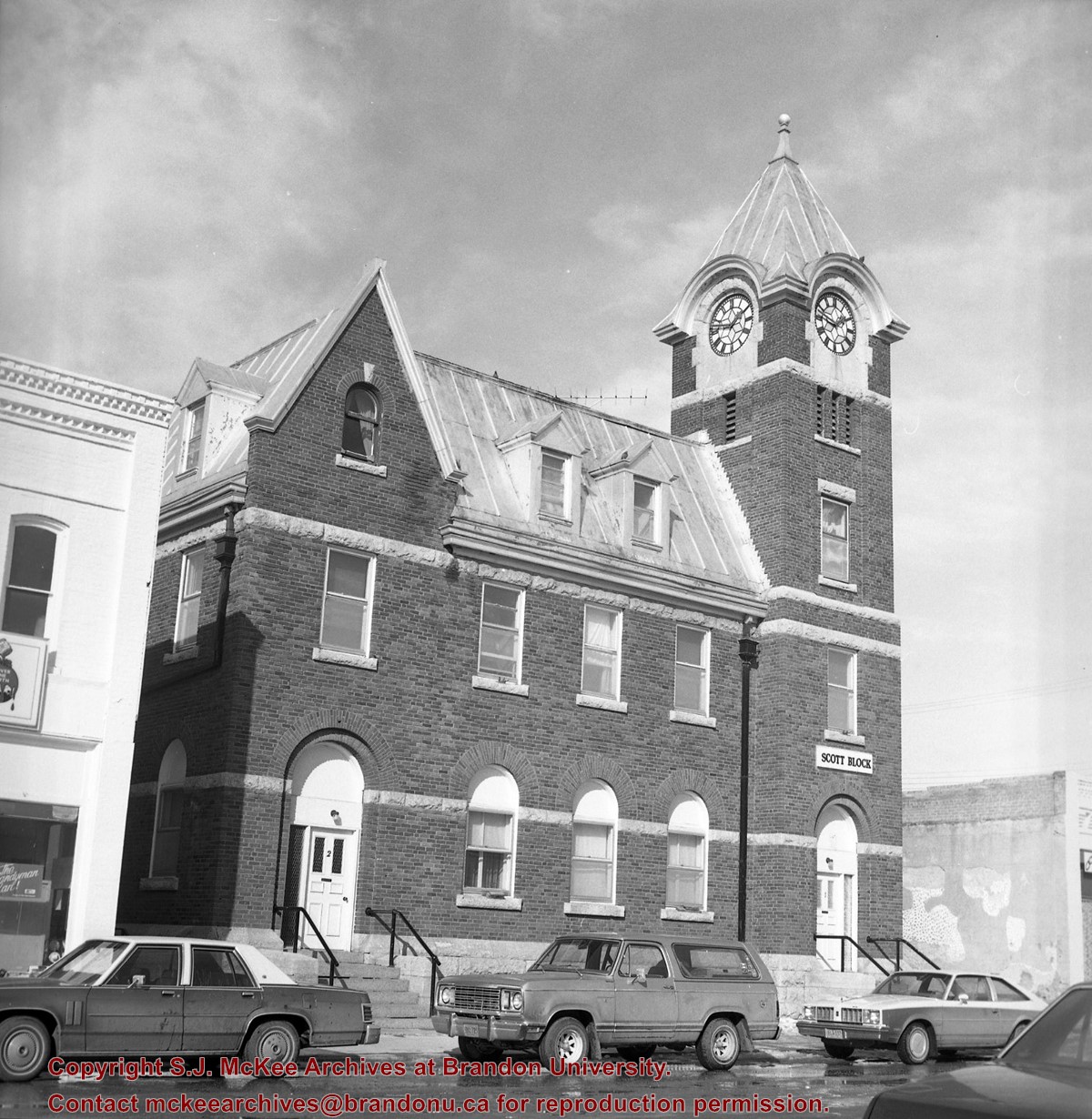
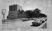
[The land on which city hall stood in this photo is now known as Princess Park. P.E. 01/06/09]
Custodial History
For custodial history see the collection level description of the Lawrence Stuckey collection.
Scope and Content
Princess Avenue, showing City Hall & CKX radio tower
Notes
[View is from 9th Street looking east. P.E.]
"Radio towers of CKX on city hall grounds were 150 feet tall; Studio and transmitter were on the east side of city hall." - Fred McGuinness collection (20-2009).


.jpg?width=1200&404=no-img.jpg&watermark=wmk)
.jpg?width=180&404=no-img.jpg)
.jpg?width=1200&404=no-img.jpg&watermark=wmk)
.jpg?width=180&404=no-img.jpg)


.jpg%3fmaxheight%3d1000%26maxwidth%3d1000%26watermark%3dwmk&description=Brandon+College+-+Original+Building+%26+Clark+Hall)
.jpg%3fmaxheight%3d1000%26maxwidth%3d1000%26watermark%3dwmk&description=Brandon+College+-+Original+Building+%26+Clark+Hall)
%2c+Virden%2c+Manitoba)
%2c+Virden%2c+Manitoba)
%2c+Virden%2c+Manitoba)