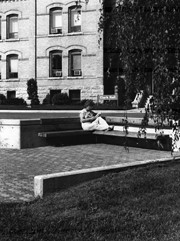
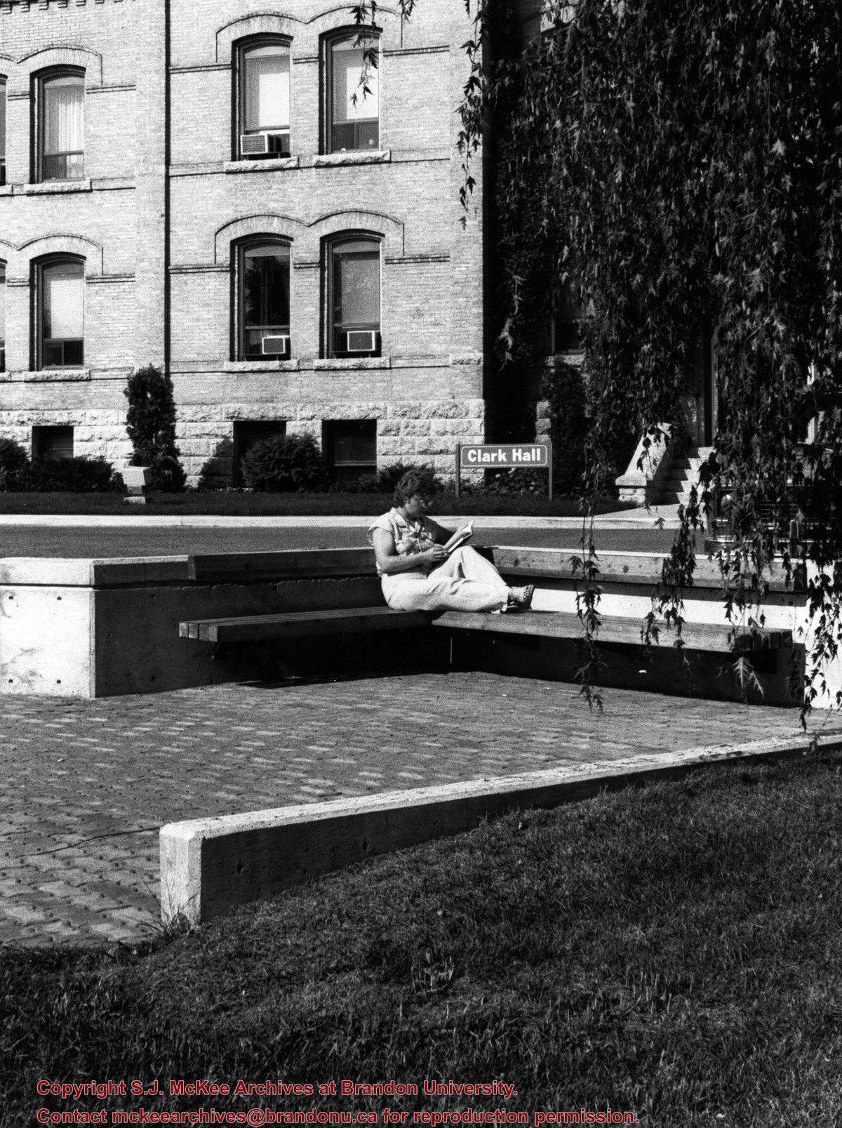
Photograph is looking northwest probably from the John R. Brodie Science Centre and shows the Citzens' Science Building, the Brandon College Building, Clark Hall and a portion of the driveway and grounds in front of the buildings.
View is northeast, taken from the John R. Brodie Science Centre. Photograph shows: the Brandon College Building, the Student Services H-Hut, the Education Building, and the Student Union Building (Citizens' Science Building), as well as 18th Street and some houses. The trailer to the south of the Education Building was a Canada Manpower office in the 1960s. It was latter moved over by the Gymnasium, where it became the Quill office.
View is west to McDiarmid Drive from approximately 16th Street between Princess and Louise Avenues. Photograph shows: Brandon College, Fleming School, Coronation Park, and West End Community Centre.
View is southwest from the John R. Brodie Science Centre. Photograph shows: Flora Cowan Hall, the Brandon University Gymnasium, Darrach Hall, the Quill trailer and the Jeff Umphrey Centre.


