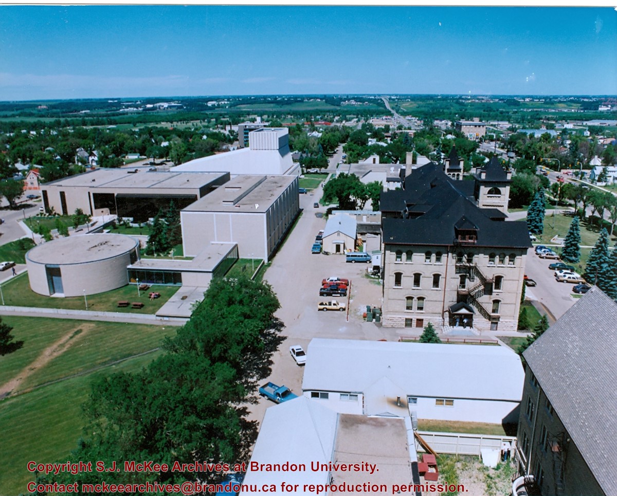
View is east southeast from the roof of the A.E. McKenzie Building. Photograph shows the courtyard and the west side of the Brandon College Building, as well as the Citizens' Science Building and the greenspace in between the two buildings.
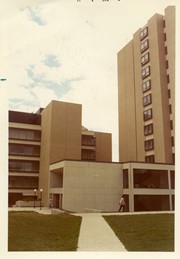
View is from the front steps of the Education Building looking south down the east side of the Brandon College Building and Clark Hall to the Knowles Douglas Students' Union Centre and the John R. Brodie Science Centre in the background.
View is north northwest from the roof of McMaster Hall. Photograph shows part of the Citizens' Science Building, a number of H-Huts, the Brandon College Building, the greenspace, the J.R.C. Evans Lecture Theatre, the A.E. McKenzie Building, the Queen Elizabeth II Music Building and the Western Manitoba Centennial Auditorium. A number of residential blocks are also visible.
View is north northeast from the roof of McMaster Hall. Photograph shows a couple of H-Huts, the Brandon College Building, Clark Hall, the George T. Richardson Centre, the A.E. McKenzie Building, the original Music Building and the Western Manitoba Centennial Auditorium. A number of residential blocks are also visible.
View is northeast from the roof of McMaster Hall. Photograph shows the Brandon College Building and Clark Hall, as well as the roof of the Education Building and portions of two H-Huts. A number of residential blocks are also visible.
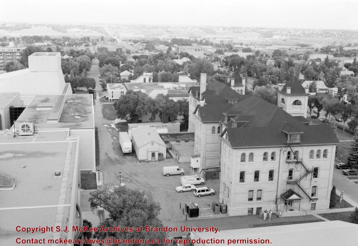
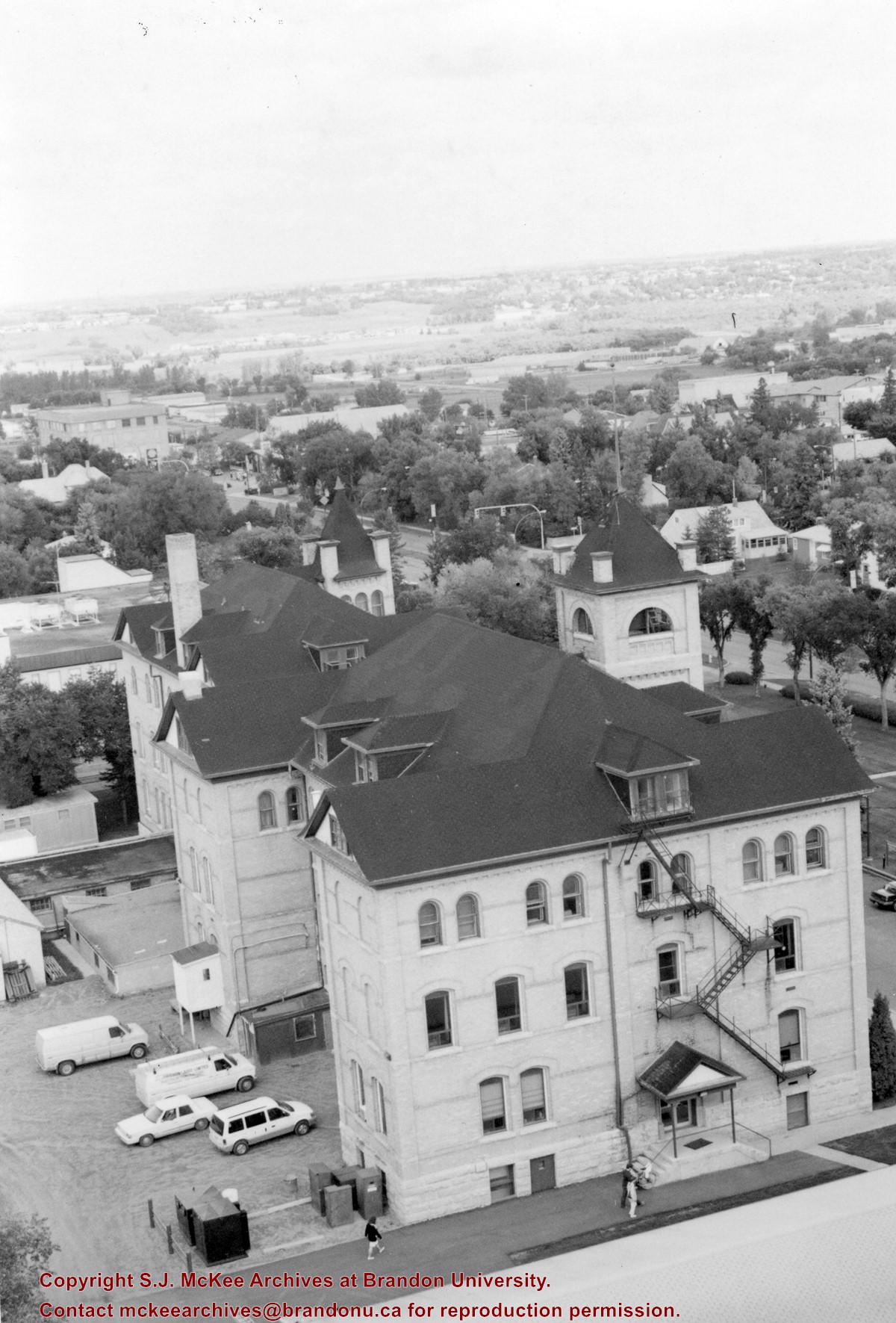
View is northeast from the Dining Hall. Photograph shows the greenspace, the J.R.C. Evans Lecture Theatre, the A.E. McKenzie Building, the Brandon College Building and Clark Hall.
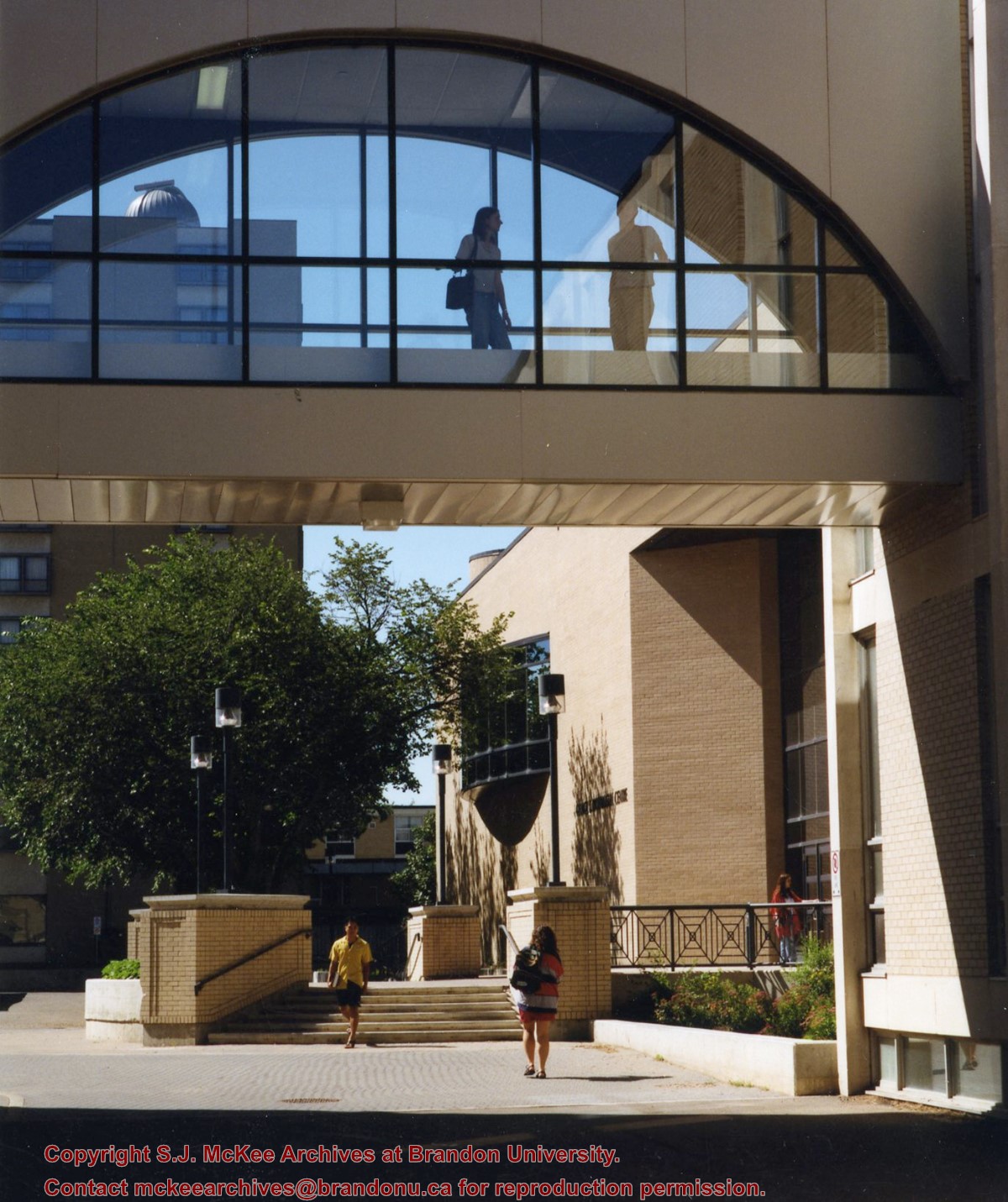
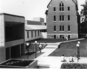
View is north from in front of the John R. Brodie Science Centre. Photograph shows the entrance to McMaster Hall, the Citizens' Science Building and an H-Hut, as well as the walkway between the buildings.
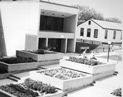
View is northwest from in front of the John R. Brodie Science Centre. Photograph shows the entrance to McMaster Hall and an H-Hut, as well as the flower beds in front of the Brodie Science Centre.
View is northwest from the southeast corner of 18th Street and Louise Avenue. Photograph shows the Citizens' Science Building, the Brandon College Building, Clark Hall and two H-Huts, as well as the land to the south of the buildings. The Original Music Building is partially visible in the background.
The matting has a large tear and some stains. The photograph itself has a couple of small stains.
Scope and Content
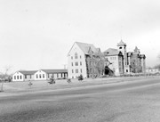
Photograph is looking southwest from the north end of the driveway and 18th Street and shows the Brandon College campus, including the front lawn, Clark Hall, the Brandon College Building and the Citizens' Science Building. Caption on the photograph reads: Brandon College: The Baptist College in Western Canada.
Aerial photographs of the campus were generally commissioned by the College/University to record important milestones, such as centennials, changes in status, and building projects. The general campus photographs were placed in this sub-series because the composition of the images made it difficult to place them with individual buildings.
Scope and Content
Sub-series consists of photographs of the Brandon College and Brandon University campus.
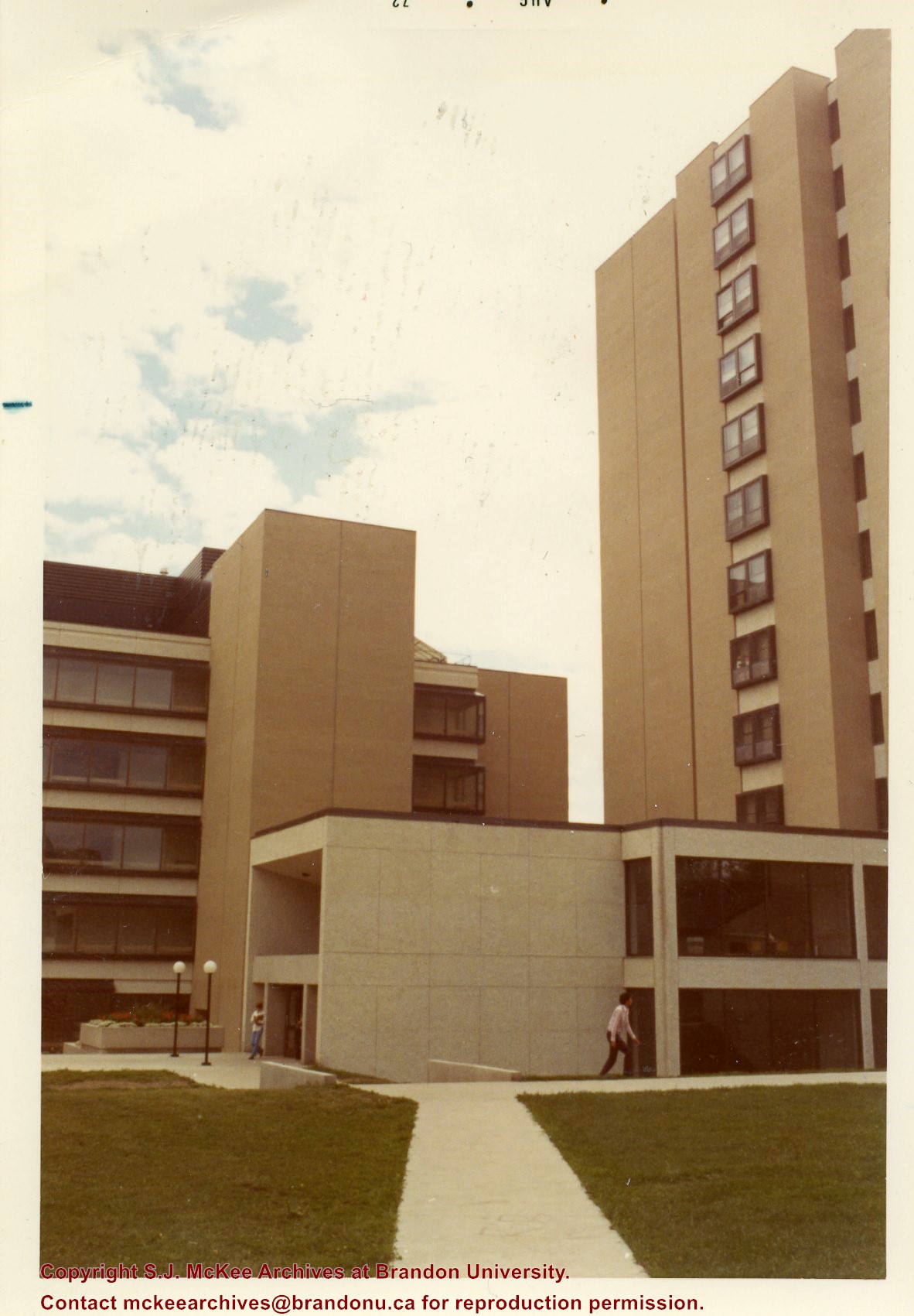
Series is divided into 13 sub-series, including: (1) Aerials; (2) Brandon College Building & Clark Hall; (3) Citizens' Science Centre & Knowles Douglas Building; (4) Richardson Centre & A.E. McKenzie Building; (5) Healthy Living Centre & Henry Champ Gymnasium; (6) Dining Hall & Residences; (7) Education Building; (8) Original Music Building & the Queen Elizabeth II Music Building; (9) J.R. Brodie Science Centre; (10) Dr. James and Mrs. Lucille Brown Health Studies Complex; (11) Jeff Umphrey Building & Glen P. Sutherland Art Gallery; (12) Physical Plant; (13) H-Huts.
View is north probably from the roof of McMaster Hall. Photograph shows the construction of the new roof on Clark Hall and the Brandon College Building.


