Herbert (Bert) Goodland was born in Birkenhead, England in 1877 and moved to Canada with his parents James and Hannah in the late 1800's. James Goodland died in 1920 and is buried in Brandon, MB.
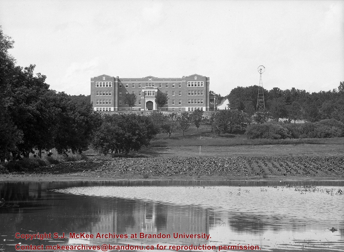
In 1900, Bert Goodland became Farm Manager at the Brandon Indian Residential School. He also taught Agriculture; a position he held until 1922. Goodland married Marjory Broughton in 1903, and they had one daughter, Dorothy, in 1908.
In 1922, the family moved to Alberta, where Goodland took on a similar job at an Indian Residential School near Edmonton. After his retirement in the 1940's, he and Marjory moved to Chilliwack, BC, where Marjory died in 1955. Herbert Goodland's last years were spent in Ontario and he died there in 1970.
Custodial History
Photographs were created/collected by Herbert Goodland during the period he taught at the Brandon Indian Residential School. The photographs passed from Goodland's wife Marjory to their daughter Dorothy and then to Dorothy's daughter Doreen Oke. Oke donated them to the McKee Archives in November 2011.
Scope and Content
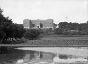
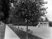
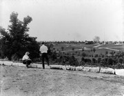
Collection consists of 32 b/w photographs (some loose, some as part of album pages) of the Brandon Indian Residential School. Subjects include school grounds, buildings and students. There are also a few photographs of Brandon and one reproduced image of the Goodland family.
Notes
History/Bio provided by Doreen Oke. Description by Christy Henry.
Postcard is bent, inked stained, and has emulsion artifacts
Scope and Content
Photograph shows a wood-framed bungalow with ornamental woodwork on the porch and roof. The home has a wooden picket fence. A woman and child are seated on one side of the ballustrade and a woman in an overcoat and hat is seated on either side of the ballustrade. Neighbouring homes are also visible.
Photograph shows the removal of one of the houses formerly located on 20th Street between Louise and Princess Avenues. The houses on those blocks were removed to create parking lots for the University. A Fed Zavislak Ltd. Well Drilling & Trucking pickup truck is visible at the curb.
Photograph shows the removal of one of the houses formerly located on 20th Street between Louise and Princess Avenues. The houses on those blocks were removed to create parking lots for the University.
View is northeast from the Brandon College Building. Photograph shows the inside of the Brandon College Building after it had been gutted and then partially rebuilt. The exterior fascade of the west side of the building can be clearly seen in this photograph. A number of houses on the east side of 200 block of 18th Street are also visible, as is the stone fence on Princess Avenue and the flag pole on the front lawn.
Erected by the village of Wawanesa, the memorial is dedicated to the local citizens who died as a result of the First and Second World Wars. It was unveiled on November 11, 1921.
Scope and Content
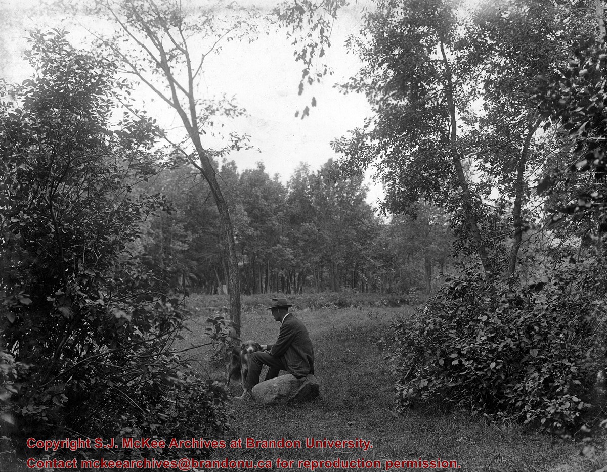
Photograph shows the dedication of a war memorial in the village of Wawanesa, MB. The memorial is located near the bank of the Souris River. The photograph was taken from Wawanesa Mutual. The street on the left is 4th Street.
Notes
History/Bio information taken from the Canadian National Defense website.
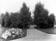
West End Park, which was established in 1894, was renamed Stanley Park in 1907, in honour of Stanley McInnis, a local dentist and legislator. The city acquired the block of land from the Canadian Pacific Railway Company in 1894 for the price of one dollar, on the condition that it be set aside for public use. The park occupies the block between 14th and 15th Streets and Princess and Lorne Avenues.
Custodial History
See fonds level description of the Alf Fowler collection for custodial history.
Scope and Content
Photos shows Stanley Park.
Notes
History/Bio information was taken from the Assiniboine Historical Society's Brandon: A Residential Walking Tour pamphlet (1993).
Storage Range
RG 5 Western Manitoba Manuscript collection - photograph storage drawer
For custodial history see the collection level description of the Lawrence Stuckey collection.
Scope and Content
Stanley Park from old PC.
Notes
Shows bandstand
[By "PC" Mr. Stuckey likely meant to indicate Park School (built 1904, demolished 1978). Park School was, at the time the photo was taken, located directly across Lorne Avenue from Stanley Park. P.E. 22/07/09]
.jpg?width=1200&404=no-img.jpg&watermark=wmk)
.jpg?width=180&404=no-img.jpg)
.jpg?width=1200&404=no-img.jpg&watermark=wmk)
.jpg?width=180&404=no-img.jpg)
/17-2011_8.jpg?width=1200&404=no-img.jpg&watermark=wmk)
/17-2011_8.jpg?width=180&404=no-img.jpg)
/17-2011_9.jpg?width=1200&404=no-img.jpg&watermark=wmk)
/17-2011_9.jpg?width=180&404=no-img.jpg)


/17-2011_6.jpg?width=1200&404=no-img.jpg&watermark=wmk)
/17-2011_6.jpg?width=180&404=no-img.jpg)


.jpg?width=1200&404=no-img.jpg&watermark=wmk)
.jpg?width=180&404=no-img.jpg)
.jpg?width=1200&404=no-img.jpg&watermark=wmk)
.jpg?width=180&404=no-img.jpg)


.jpg%3fmaxheight%3d1000%26maxwidth%3d1000%26watermark%3dwmk&description=Indian+Residential+School)
.jpg%3fmaxheight%3d1000%26maxwidth%3d1000%26watermark%3dwmk&description=Indian+Residential+School)
%2f17-2011_8.jpg%3fmaxheight%3d1000%26maxwidth%3d1000%26watermark%3dwmk&description=Brandon+Indian+School+farm)
%2f17-2011_9.jpg%3fmaxheight%3d1000%26maxwidth%3d1000%26watermark%3dwmk&description=Ironing)
%2f17-2011_6.jpg%3fmaxheight%3d1000%26maxwidth%3d1000%26watermark%3dwmk&description=Making+the+Ford+work+for+its+keep)
.jpg%3fmaxheight%3d1000%26maxwidth%3d1000%26watermark%3dwmk&description=Park+School)
.jpg%3fmaxheight%3d1000%26maxwidth%3d1000%26watermark%3dwmk&description=Park+School)