See fonds level description of the Alf Fowler collection for custodial history.
Scope and Content
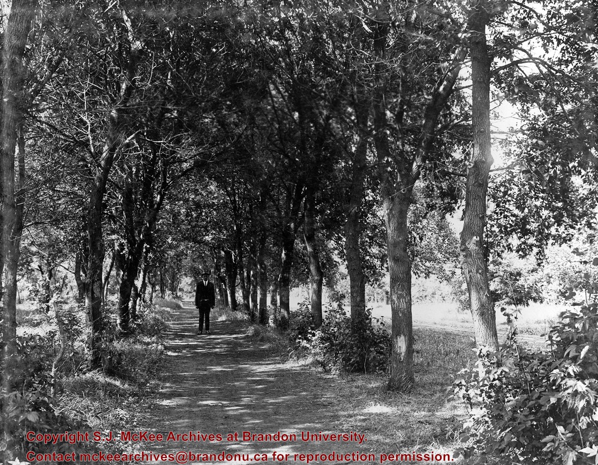
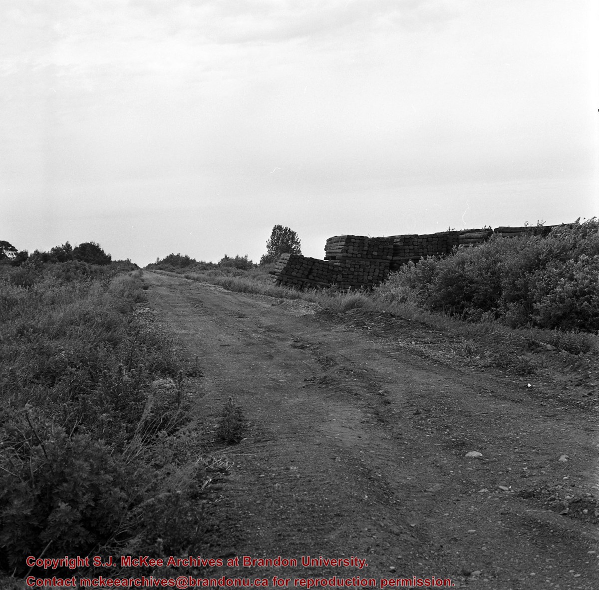
Photo shows a man standing in the middle of a lane, which is lined with trees. The parkland was south of Richmond Avenue and may be part of Patmore Nurseries.
Storage Range
RG 5 Western Manitoba Manuscript collection - photograph storage drawer
See fonds level description of the Alf Fowler collection for custodial history.
Scope and Content
Photo was taken of 10th Street from Pacific Avenue looking sourth. Visible businesses include: the Cecil Hotel; the Canadian Bank of Commerce; Campbell and Campbell; and the Bank of British North America
Storage Range
RG 5 Western Manitoba Manuscript collection - photograph storage drawer
Postcard shows an aerial view of 9th Street facing south in Brandon, Manitoba. Visible businesses and landmarks include: Beaubier Hotel, YMCA/police station, the original CKX Radio station towers on 8th Street (est. 1928 - moved 1940), the old City Hall, Prince Edward Hotel, and the original Manitoba Power commission smokestack on 10th Street.
Notes
Writing on the front of the photograph reads: Brandon, Man., Jerrett Photo. This photograph shows a rare view of the 800-block between Rosser and Princess Avenues.
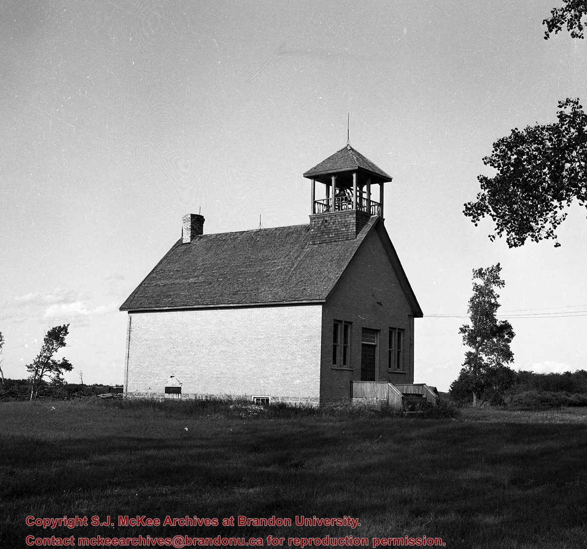
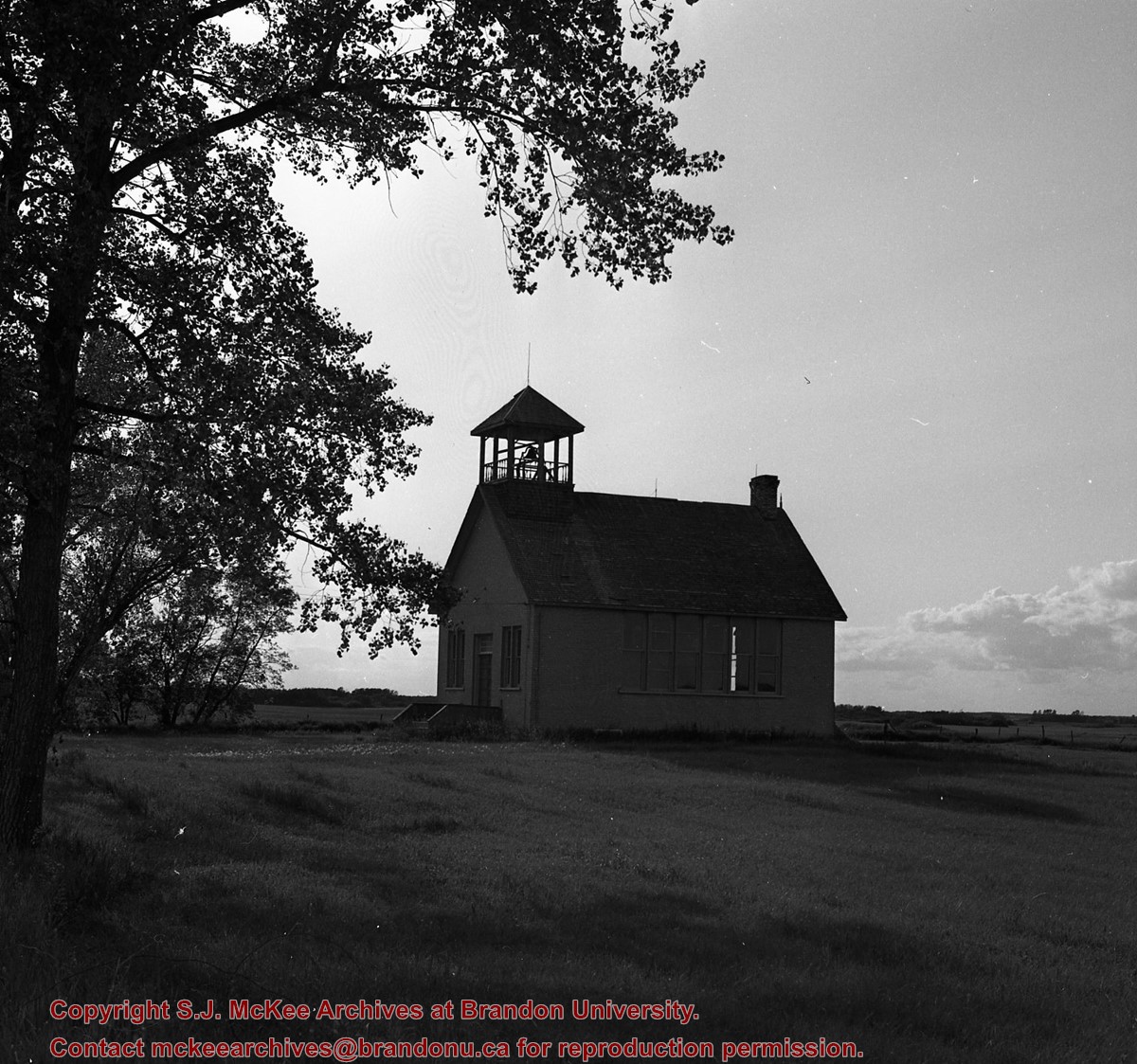
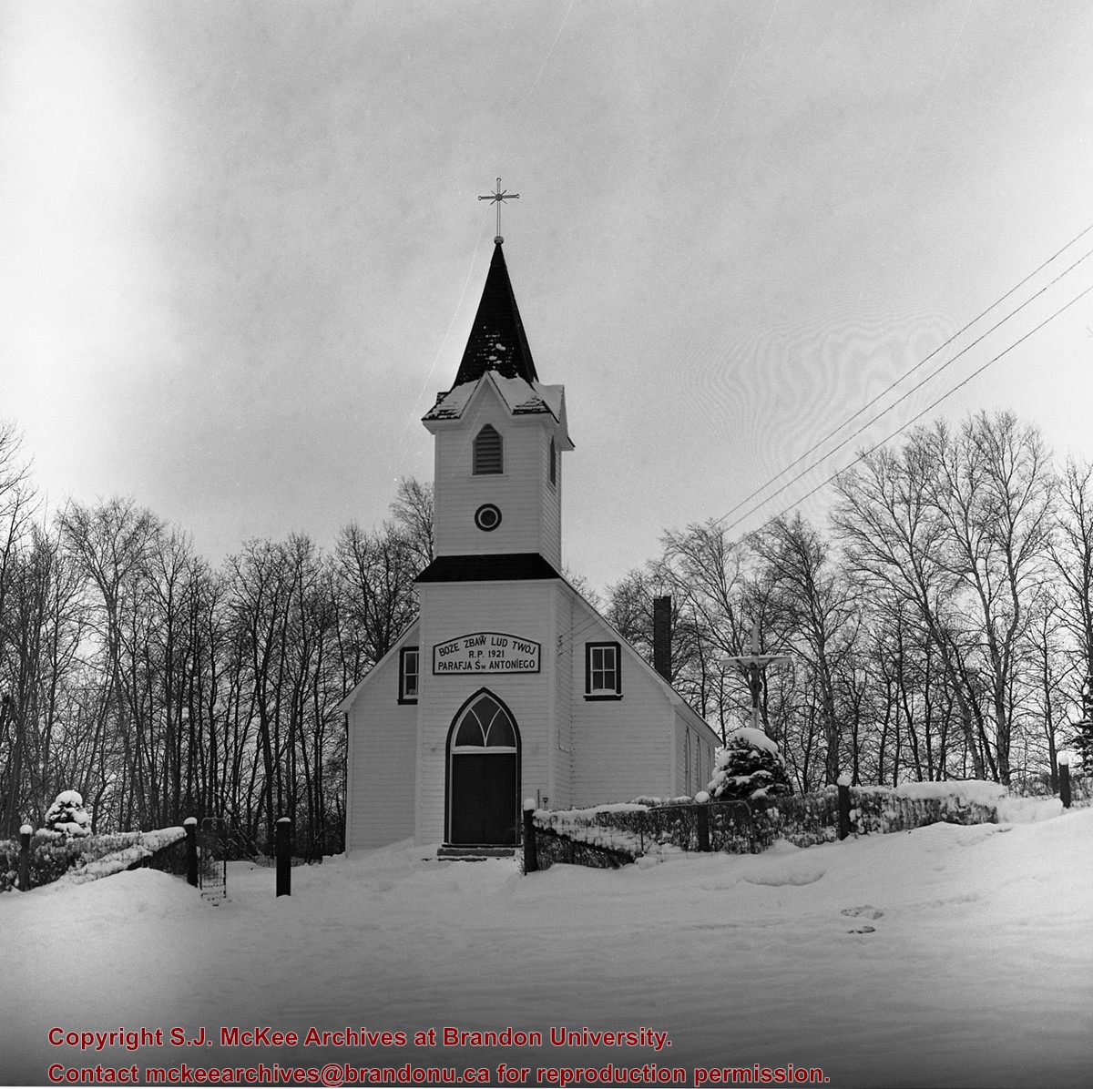
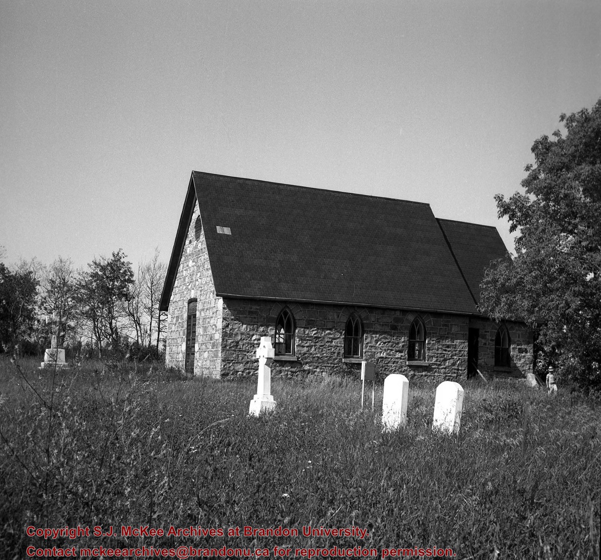
Stuckey's notes: Community of Thoona, Manitoba. Officially opened December 27, 1903 by Rt. Rev. S.P. Matheson, Bishop of Rupert's Land. Last annual meeting of congregation committee December, 1953. Officially closed November 1, 1964 by Rt. Rev. Ivor A. Norris, Bishop of Brandon, after special service in Birtle - St. George's Church. Exterior and interior.
Custodial History
For custodial history see the collection level description of the Lawrence Stuckey collection.
Scope and Content
Image shows the Church of St. Albans - Blenheim (Anglican), south of Birtle, Manitoba.
Notes
[Brandon NW includes communities north of Trans-Canada #1 highway and west of PTH #10.]
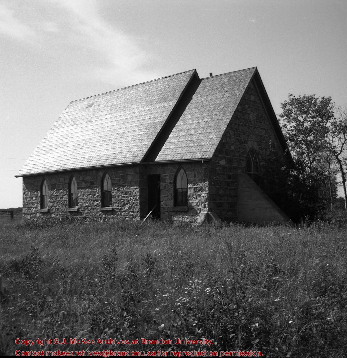


/12-2004_6.jpg?width=1200&404=no-img.jpg&watermark=wmk)
/12-2004_6.jpg?width=180&404=no-img.jpg)


%2f12-2004_6.jpg%3fmaxheight%3d1000%26maxwidth%3d1000%26watermark%3dwmk&description=Baldur%2c+MB+from+south)
%2c+south+of+Birtle%2c+Manitoba)
%2c+south+of+Birtle%2c+Manitoba)