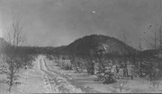
Emulsion is cracking and photograph is starting to warp
History / Biographical
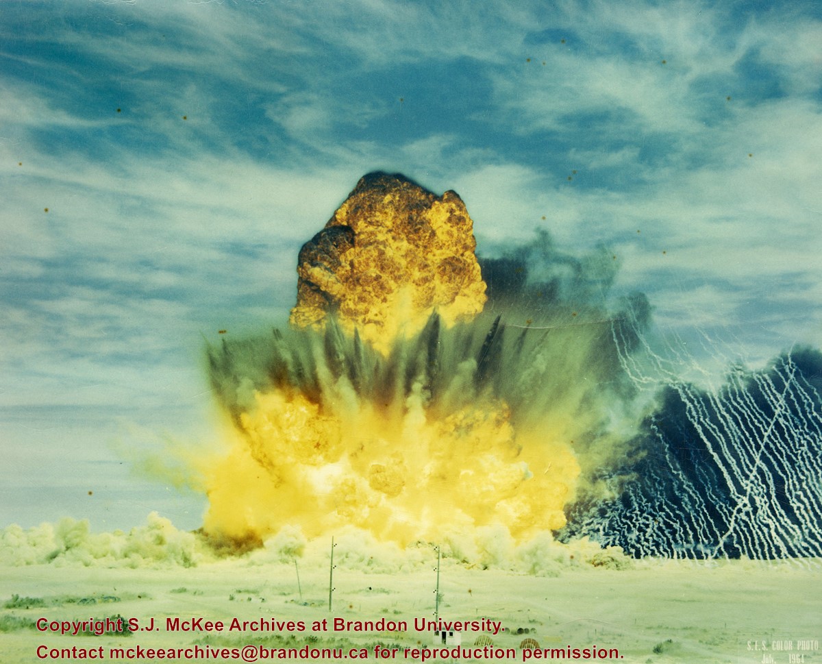
Suffield, Alberta, is situated approximately 40km northwest of Medicine Hat, Alberta. A few "large explosive events" (100 to 500 tons) were conducted at the Defence Research Board's (DRB) Suffield Experimental Station in the 1960s. On 19 January 1961, Medicine Hat citizens felt tremors in the community as a result of five tons of TNT being detonated at the station. The station director attributed this anomaly to freak atmospheric and weather conditions. At the time the DRB was testing the effects of shock waves on military equipment.
In July 1964, the Suffield Experimental Station detonated 30,600 blocks of TNT - 500 tons - to test the largest, non-nuclear, non-confined, surface blast. Placed in various sections radiating from ground zero to test the effects of the blast were targets, dummy-men, miscellaneous instruments, mines, model ships, nose cones, repirators, vehicles, subterranean chambers, shelters, tunnels, foxholes, and trenches. Several hundred people were expected to observe the blast, including 80 "official observers" and a VIP party of military and research personnel from Canada, the United States, and Britain.
(Sources: "Hellyer Heads VIP List Coming Here for SES Blast," Medicine Hat News, 09 July 1964, 7; Patrick J.Roe, "Blast Area Awaits a Cloudless Day," Medicine Hat News, 16 July 1964, 2; "Suffield Explosion Felt Here," Medicine Hat News, 19 January 1961, 7)
Scope and Content
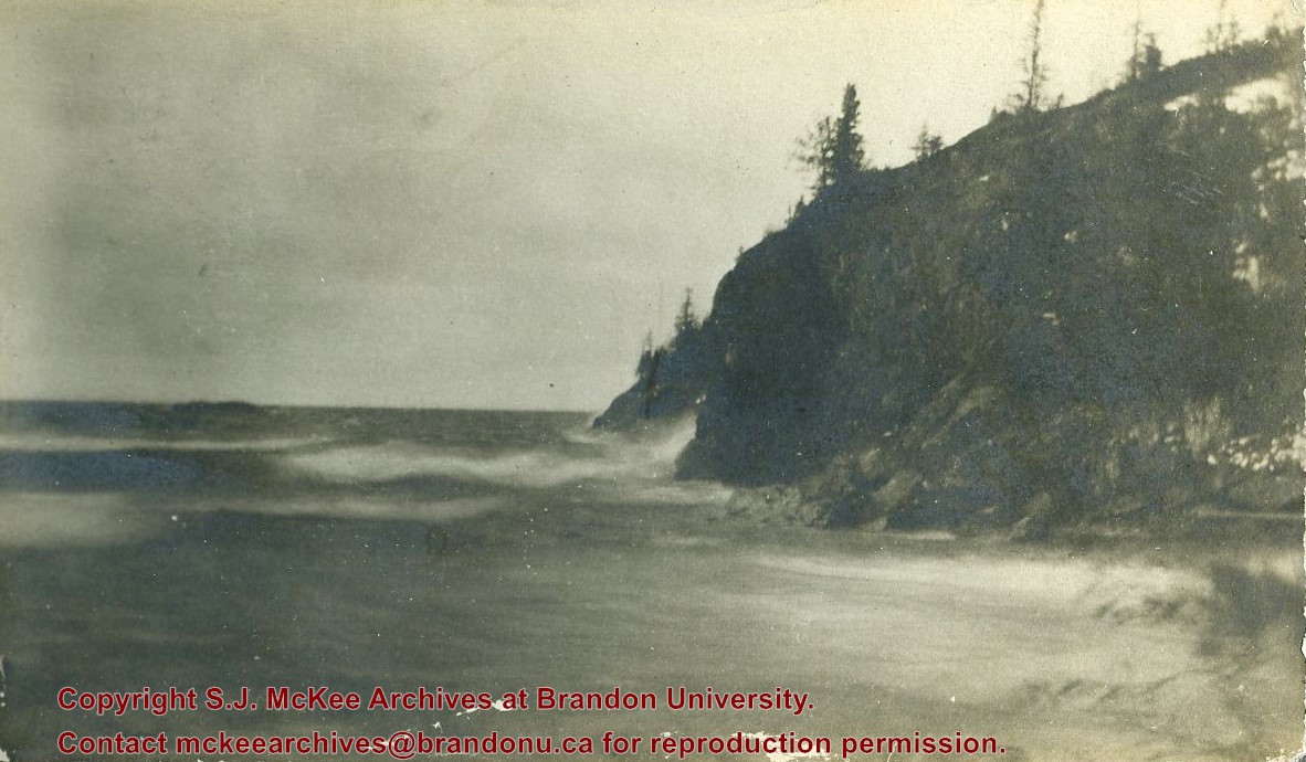
Photograph shows a detonation at the Suffield Experimental Station.
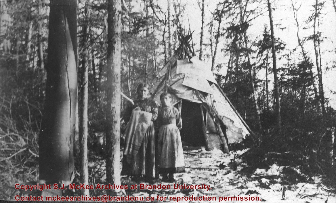
Photograph shows two aboriginal women standing before a tipi in the brush.
Notes
Writing beneath the photograph in the album reads: At the Indian Settlement. Based on provenience of images in the album, the aboringals in question may be from the Michipicoten band.
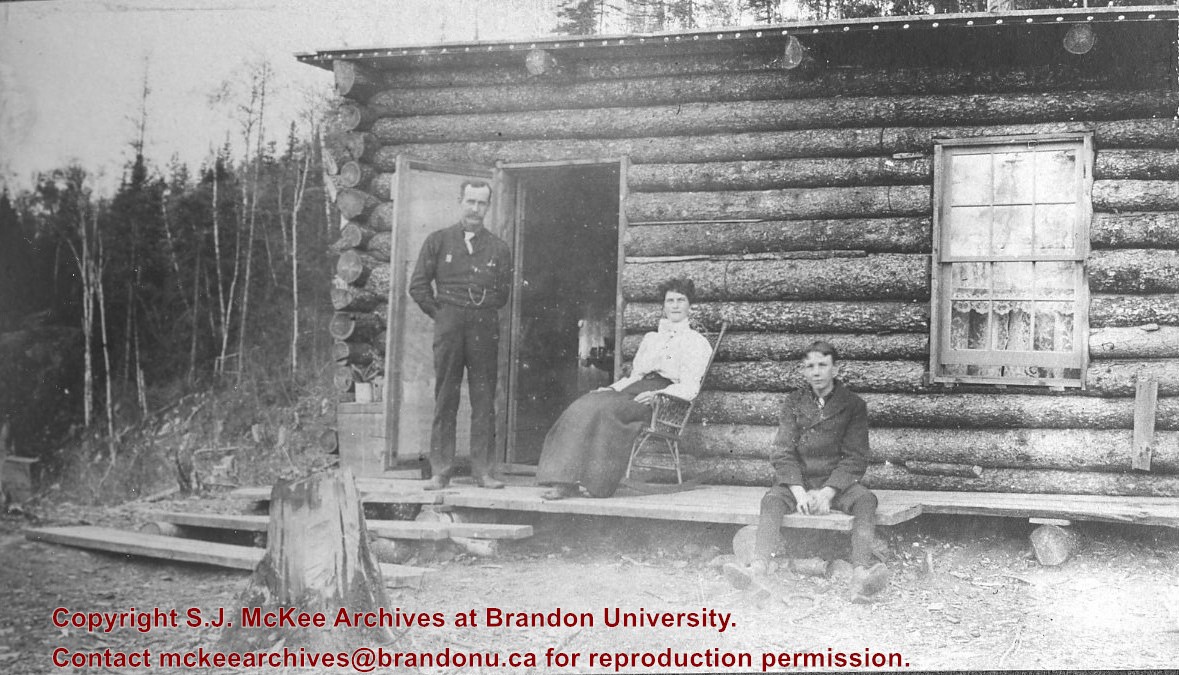
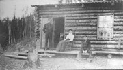
Photograph shows a family before a log cabin. A man wearing a long-sleeved shirt, tie, and vest with watch fob stands at the entryway to the home. A woman wearing a white blouse and long skirt sits on a rocking chair on a rough a rough-hewn porch. A boy wearing a pea coat sits on the porch to the right of the man and woman. Lace curtains are hanging in the window.
Notes
Writing beneath the photograph in the album reads: Mr. D.H. Hopkins and family
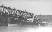
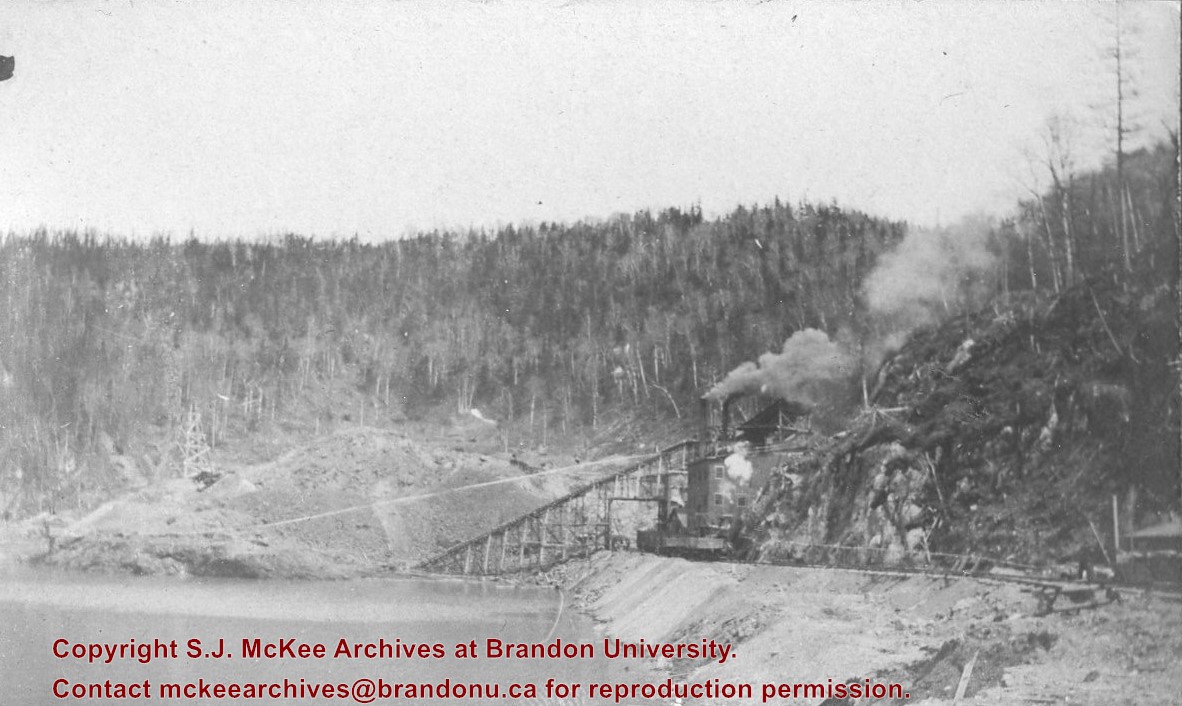
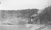
Brient was a point along the Algoma Central Railway line that connected the Helen Mine to the Michipicoten Harbour. It is located southwest of Wawa, Ontario.
Scope and Content
Photograph shows ore box cars in a railway yard.
Notes
Writing beneath the photograph in the album reads: yard at Brient
Brient was a point along the Algoma Central Railway line that connected the Helen Mine to the Michipicoten Harbour. It is located southwest of Wawa, Ontario.
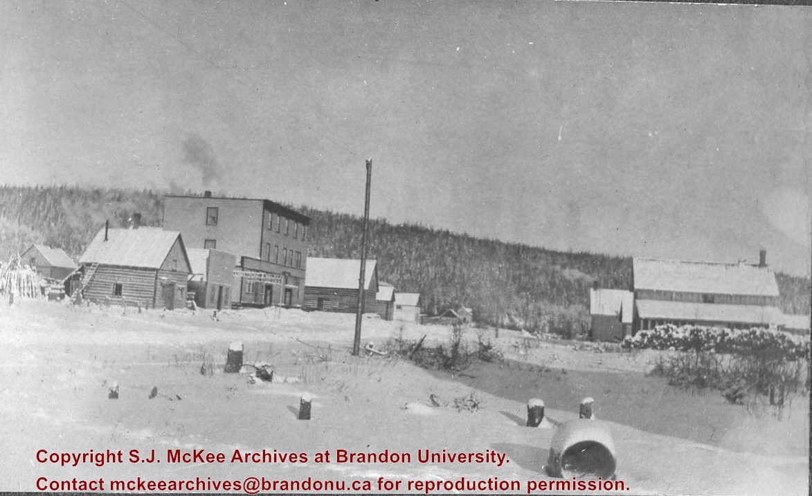
Scope and Content
Photograph shows several men standing on railway tracks before a wood-framed train station in the winter. A sign attached to the station reads: British American Express Co. The man in the foreground appears to have a mailbag over on his back and several newspapers tucked beneath his arm.
Notes
Writing beneath the photograph in the album reads: station at Brient
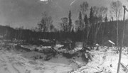
Trembley was a point along the Algoma Central Railway line that connected the Helen Mine to the Michipicoten Harbour. It is located southwest of Wawa, Ontario.
Scope and Content
Photograph shows railroad tracks. A line of ore cars stretch along one track. Writing on the side of one of the cars (#3017) reads: Algoma Central Railway Co.
Notes
Writing beneath the photograph in the album reads: Trembley - Ore Cars
In 1901, American entrepreneur Francis Hector Clergue (1856-1939) obtained the charter for the Ontario, Hudson Bay and Western Railway. Following his purchase, he reincoporated the Algoma Central Railway to the Algoma Central and Hudson's Bay Railway. (Source: Sault St. Mairie Public Library, "Transportation - Algoma Central Railway," Sault History Online, 2008)
Scope and Content
Photograph shows railroad tracks cutting through the Canadian Shield.
Notes
Writing beneath the photograph in the album reads: Algoma Central & Hundson Bay Ry.
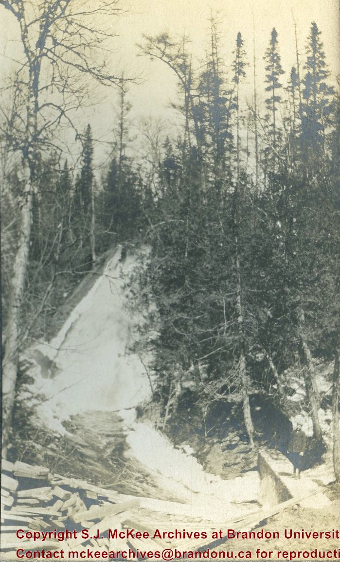
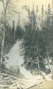
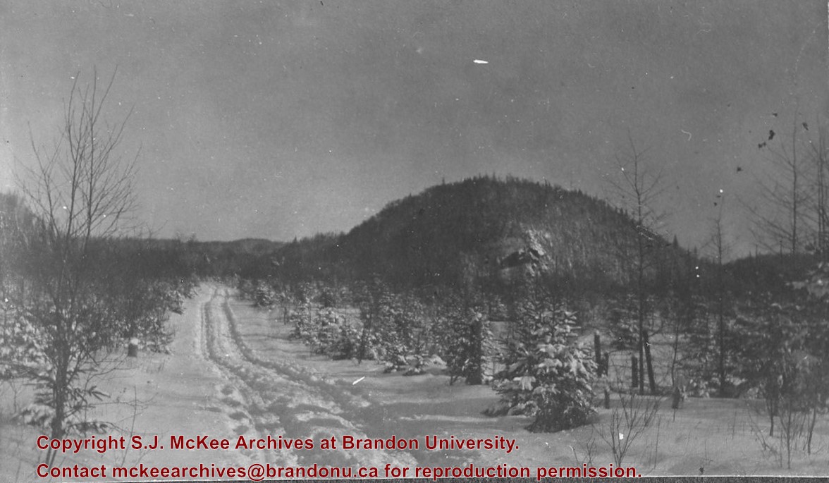
The Lake Talbot tresle was a point along the Algoma Central Railway line that connected the Helen Mine to the Michipicoten Harbour. It is located north of Wawa and southwest of the Helen Mine.
Scope and Content
Photograph shows several men walking a railway line. Before them is a tresle bridge.
Notes
Writing beneath the photograph in the album reads: Lake Talbott Tresle [sic.]
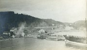
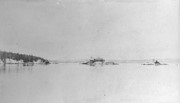
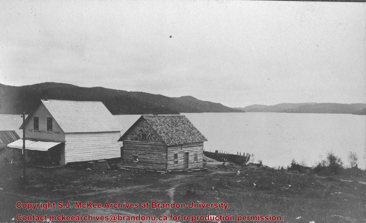
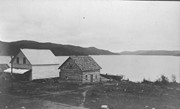
Photograph shows two wooden buildings along a lake shore. Stencilled on one building is: The Mammoth Clothing. A wood-framed boat rests behind one of the structures.
Notes
Writing beneath the photograph in the album reads: Wawa Lake


