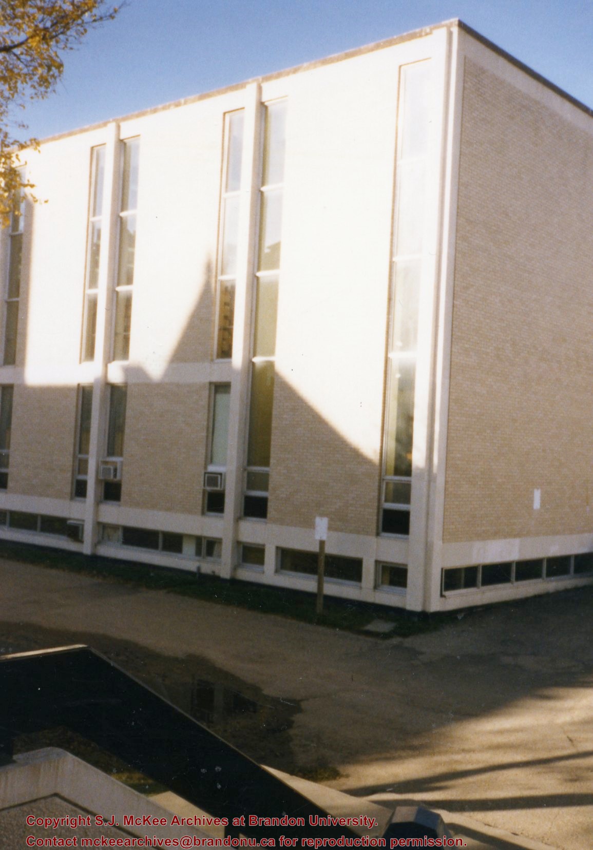
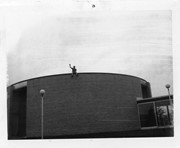
Photograph is looking southwest from the back steps of the Education Building and shows the northeast corner of the A.E. McKenzie Building, which housed the Library and Faculty of Arts.
Photograph is looking west from the sidewalk between Clark Hall and the Education Building and shows the east side of the A.E. McKenzie Building as well as a trailer that housed the Canada Manpower office (career councelling) in the 1960s. The trailer was later moved near the Kinsmen Stadium where it housed the Quill office.
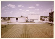
Photograph is looking north, probably from the roof of the Dining Hall, and shows the south side of the J.R.C. Evans Lecture Theatre, the A.E. McKenzie Building and the link between the two buildings. Photograph also shows the quadrangle to the south of the Evans Theatre and on of the H-Huts to the west of Clark Hall.
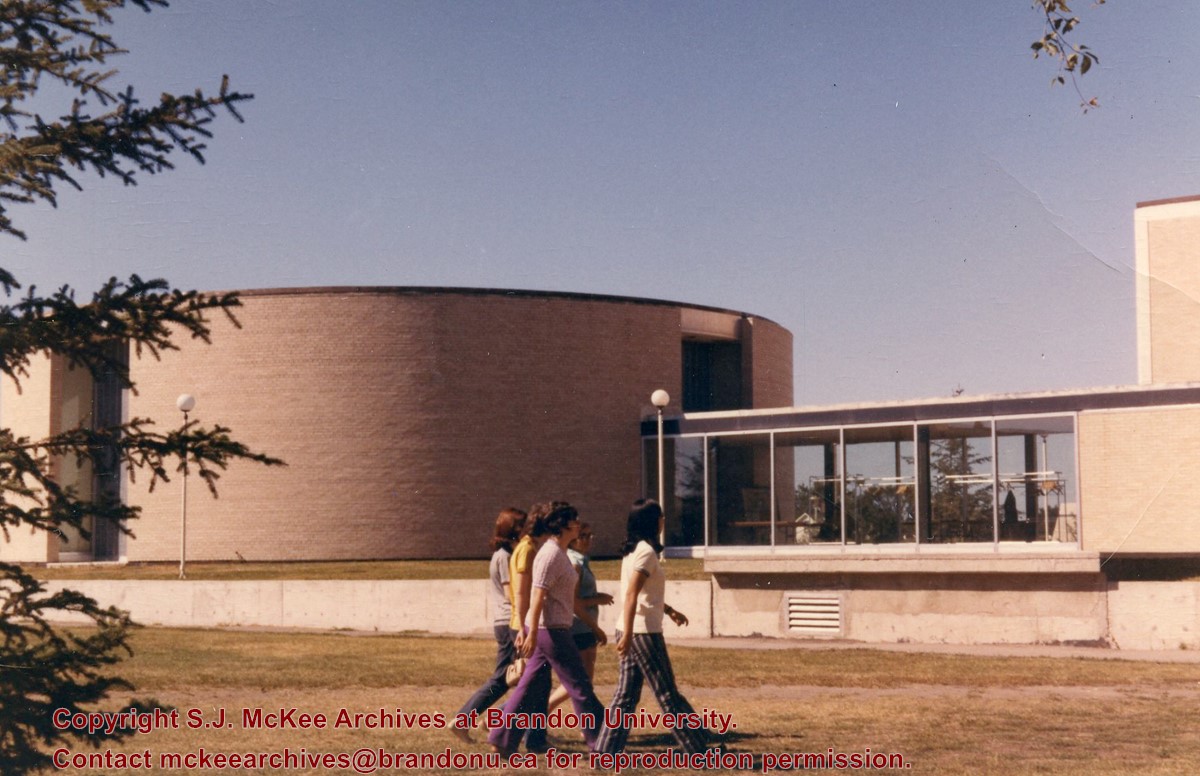
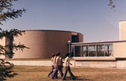
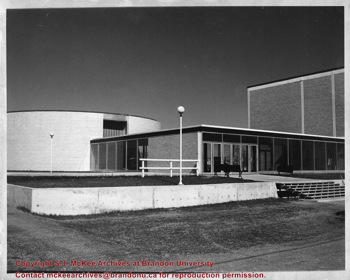
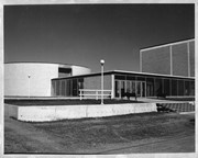
Photograph is looking north northwest and shows students walking across the greenspace with the J.R.C. Evans Lecture Theatre and the link to the A.E. McKenzie Building in the background.
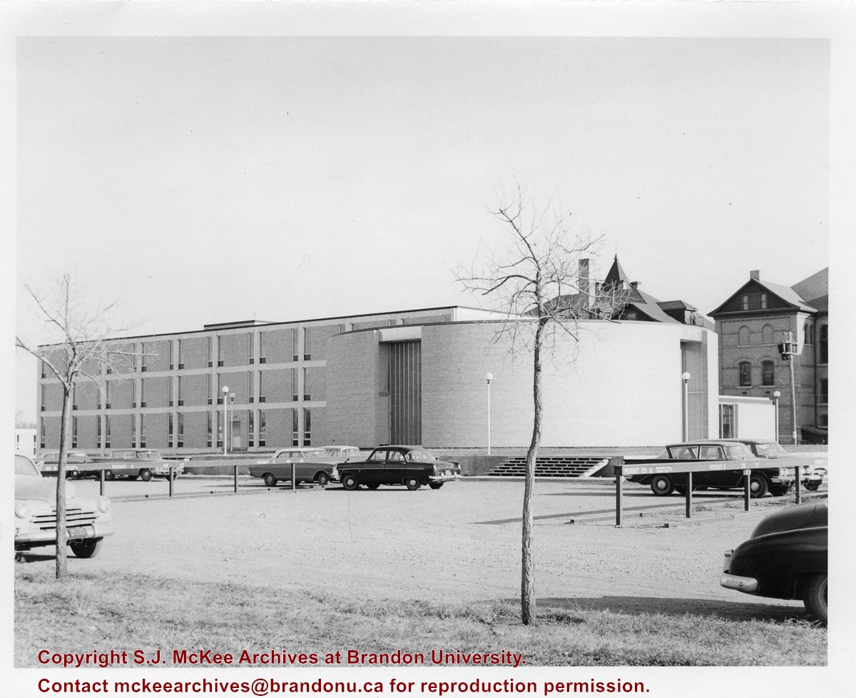
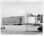
Photograph is looking northeast from 19th Street and shows the west side of the J.R.C. Evans Lecture Theatre and the A.E. McKenzie Building, as well as the parking lots on the west side of the buildings.
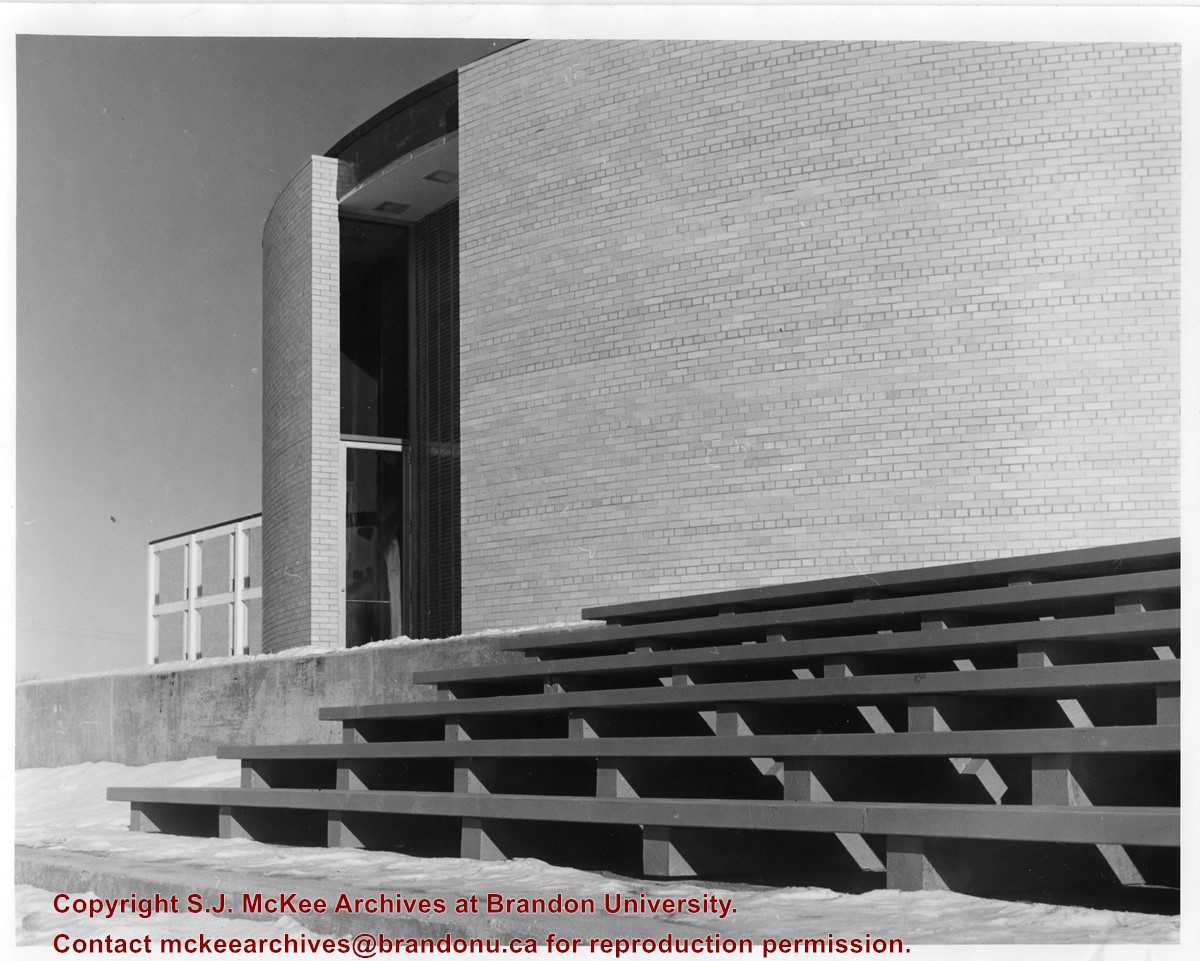
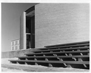
Photograph is looking northeast and shows the staircase at the rear of the J.R.C. Evans Lecture Theatre. Part of the A.E. McKenzie Building is visible in the background.
Photograph is looking west and shows where the J.R.C. Evans Lecture Theatre meets the link that joined it to the A.E. McKenzie Building. Photograph was taken in winter.
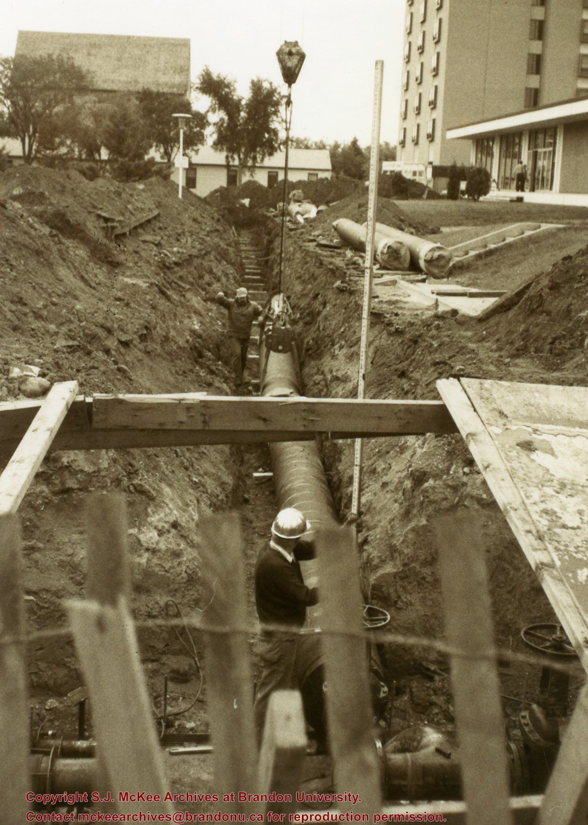
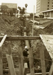
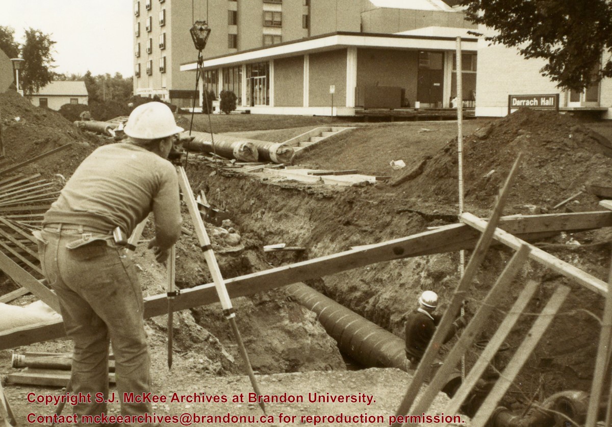
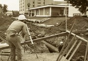
Photograph is looking southeast from 20th Street and shows the laying of pipes to the north of Darrach Hall and the Dining Hall as part of the Library extension. Photograph also shows a man surveying the site.
View is southwest from approximatley 16th Street between Princess and Rosser Avenues. Photograph shows the Brandon University campus, as well as surrounding residential blocks, including Flemming, J.R. Reid and Vincent Massey schools.
View is west southwest from approximatley 16th Street between Princess and Lorne Avenues. Photograph shows the Brandon University campus, as well as surrounding residential blocks between 16th and 23rd Streets, Princess and Louise Avenues..
View is west from approximatley 17th Street between Lorne and Louise Avenues. Photograph shows a portion of the Brandon University campus (excluding the Education Building and anything north of it), as well as surrounding residential blocks from approximatley 17th Street to 22nd Street.


