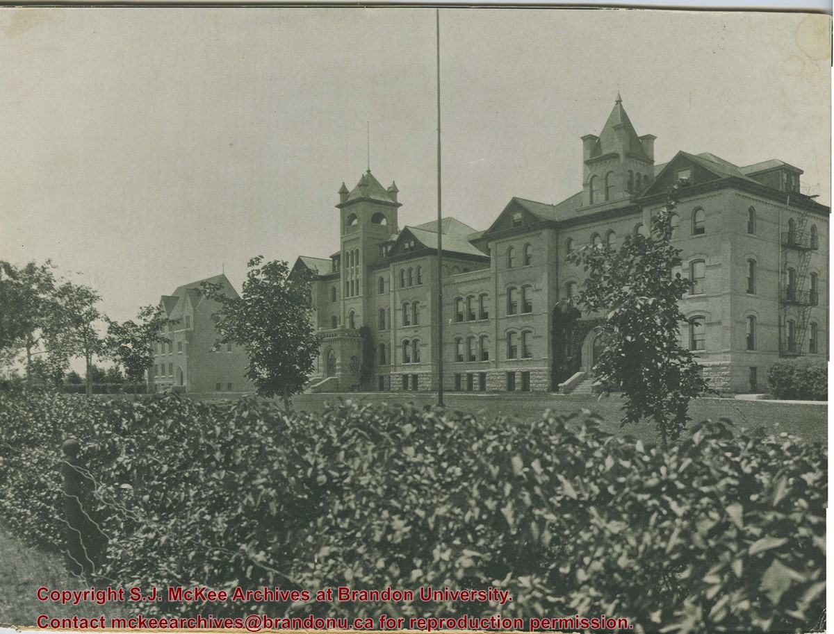
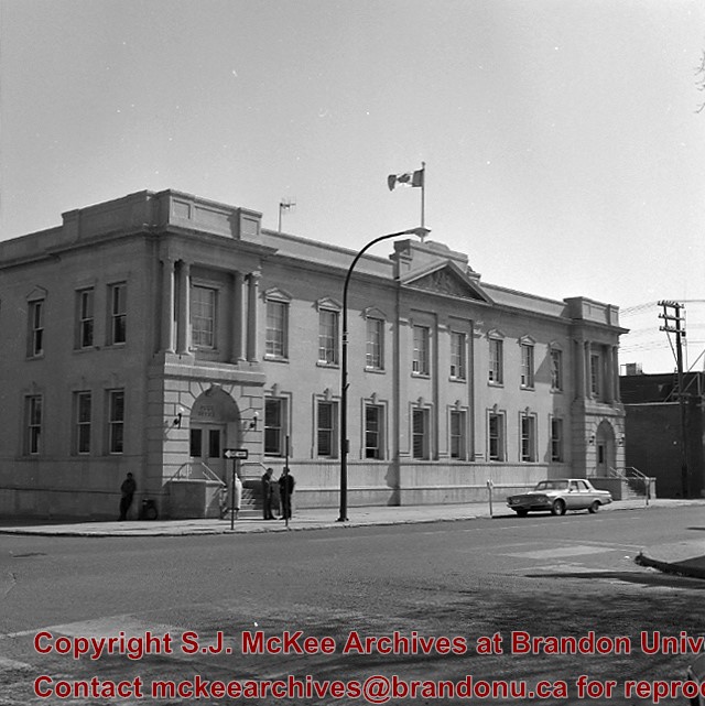
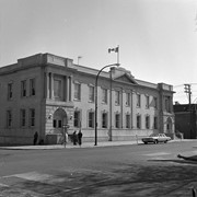
Photograph is looking southwest from the north end of the driveway and 18th Street and shows the Brandon College campus, including the front lawn, Clark Hall, the Brandon College Building and the Citizens' Science Building.
Notes
This photograph was used on a number of the Class photographs in BUPC 9. Duplicate is 9.43.
The matting has a large tear and some stains. The photograph itself has a couple of small stains.
Scope and Content
Photograph is looking southwest from the north end of the driveway and 18th Street and shows the Brandon College campus, including the front lawn, Clark Hall, the Brandon College Building and the Citizens' Science Building. Caption on the photograph reads: Brandon College: The Baptist College in Western Canada.
Series is divided into 13 sub-series, including: (1) Aerials; (2) Brandon College Building & Clark Hall; (3) Citizens' Science Centre & Knowles Douglas Building; (4) Richardson Centre & A.E. McKenzie Building; (5) Healthy Living Centre & Henry Champ Gymnasium; (6) Dining Hall & Residences; (7) Education Building; (8) Original Music Building & the Queen Elizabeth II Music Building; (9) J.R. Brodie Science Centre; (10) Dr. James and Mrs. Lucille Brown Health Studies Complex; (11) Jeff Umphrey Building & Glen P. Sutherland Art Gallery; (12) Physical Plant; (13) H-Huts.
The photograph was taken for the Centennial of Brandon College/University.
Scope and Content
Aerial photograph taken looking southwest from approximately the northeast corner of Princess Avenue and 17th Street. The entire campus, as well as a number of residential streets are visible.
The photograph may have been taken for Brandon University's centennial.
Scope and Content
Photograph is looking northeast from approximately Victoria Avenue and 21st Street and shows the Brandon University campus, Kinsmen Stadium, the Assiniboine River and a number of residential neighbourhoods.
For custodial history see the collection level description of the Lawrence Stuckey collection.
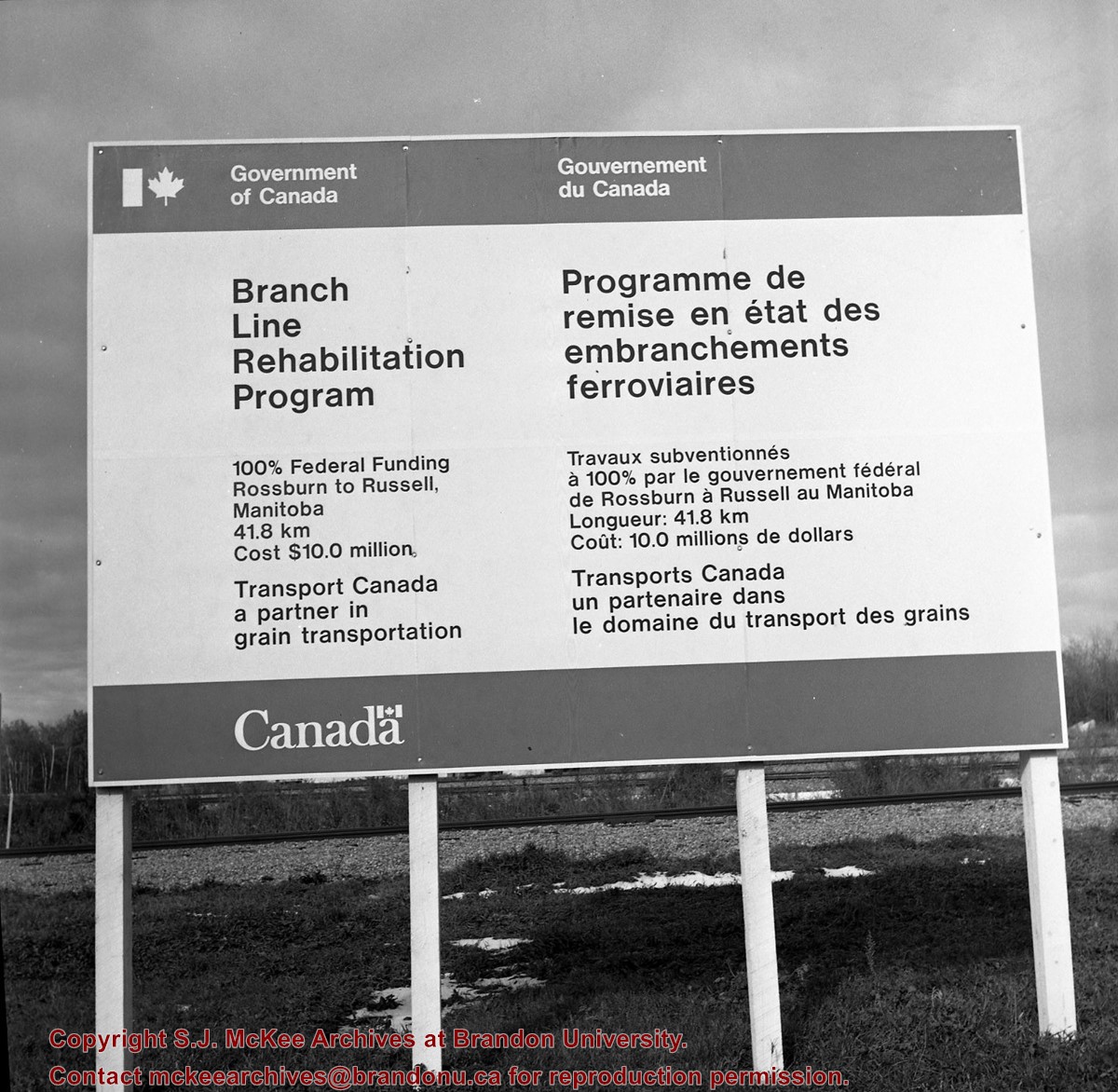
Scope and Content
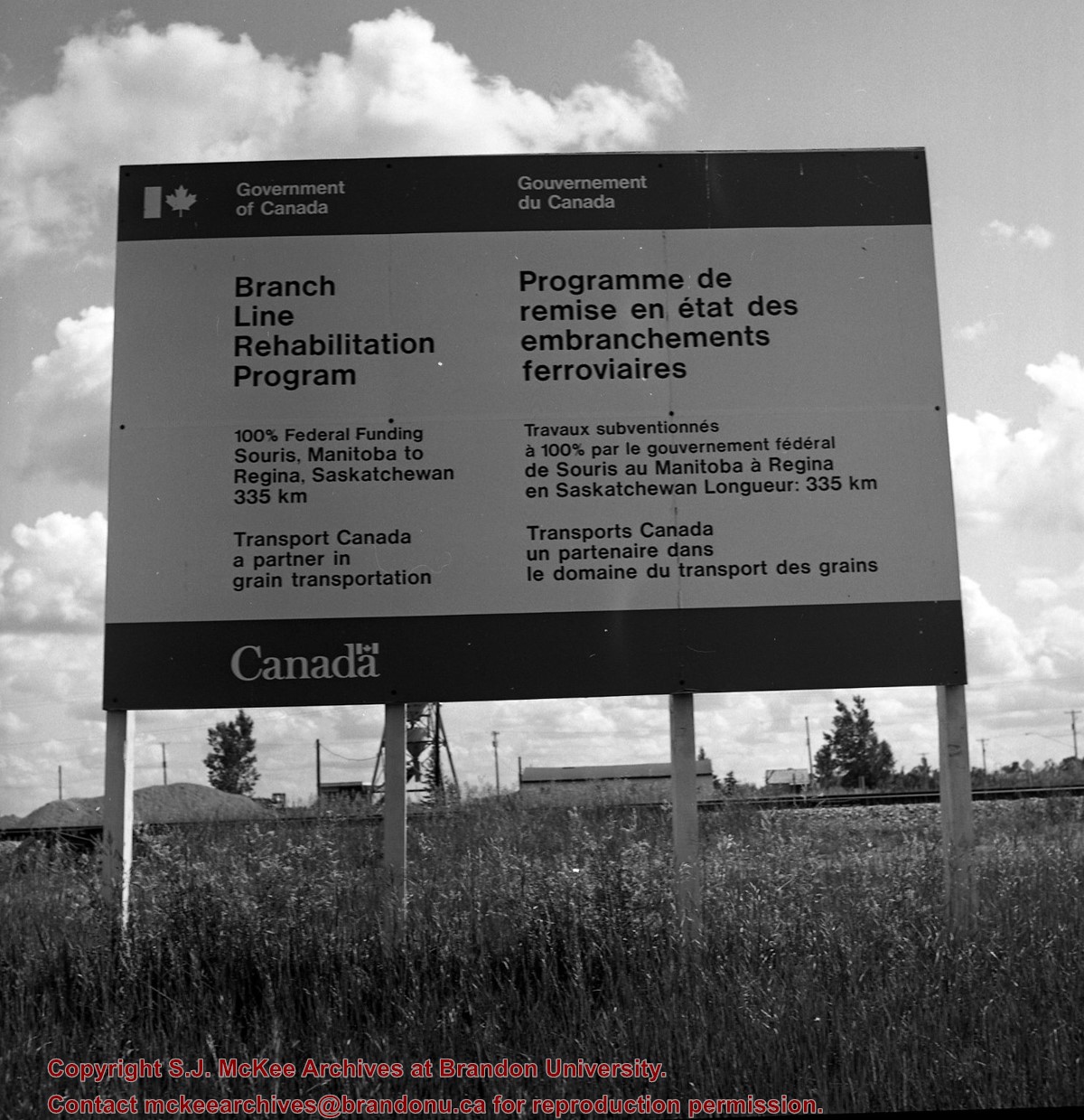
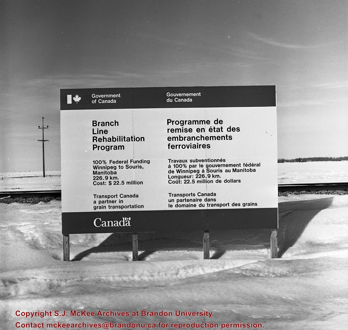
Image of a Prairie Branchline Rehabilitation Sign near Reston, Manitoba. Image was taken along the CPR lines south of the mainline.
Notes
[Image is of a Government of Canada sign which reads: Branch Line Rehabilitation Program. 100% federal funding. Souris, Manitoba to Regina Saskatchewan 335 km. Transport Canada, a partner in grain transportation].
Stuckey's notes: Currently four ballast projects on Rossburn subdivision rails now in place. 60 pound Sammuels Steel 1902 will be replaced next year (CN employees).
Custodial History
For custodial history see the collection level description of the Lawrence Stuckey collection.
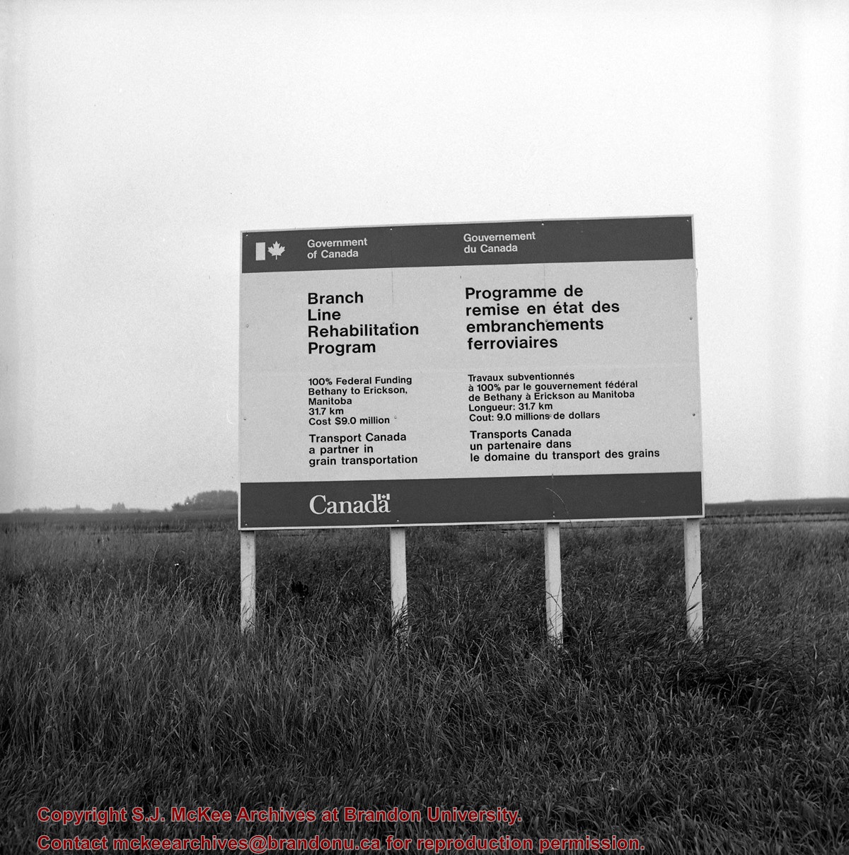
Scope and Content
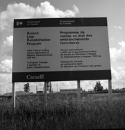
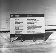
Image shows government branchline rehabilitation sign at Clanwilliam, Manitoba, taken along the CNR line, Rossburn subdivision.
Notes
[The words substation and subdivision have both been used for Stuckey's abbreviation sub. in Stuckey's rural archives collection].


