Postcard shows an aerial view of the city of Brandon
Notes
Writing on the back of the postcard reads: No. 10. Brandon, Manitoba, Canada / Aerial View of Brandon / Distributed by Clements Drug Store / Brandon, Manitoba, Canada / Photos by: R.J. "Bob" Snazel. / Printed by: D.W. Friesen & Sons Ltd. Altona, Manitoba, Canada. The postcard is addressed to Mr. F.A. Rosser and is postmarked Brandon 30 May 1970. A 6-cent Queen Elizabeth red postage stamp portraying various modes of the transportation. The stamp has been cancelled with a postmark that reads "Help Retarded Children."
The Medicine Hat Exhibition and Stampede Parade Day was held on Thursday, July 19, 1962, at 9:30 a.m. The local newspaper reported that approximately 24,000 people were in attendance to see parade marshall Rod Ashburner leading 175 entries consisting of 90 floats, 75 horses, and 10 bands. There were 19 parade categories eligible for $12,000 in prize money and included: junior and senior cowboys and cowgirls; fancy and Shetland ponies; sulky class open; comic, commercial, industrial and organizational floats; decorated cars; special ranch class; 4-H Clubs; and a non-competitive class.
The parade route started at Second St. and Allowance Ave., from Second St. to Ash Ave., north on Ash to First St. SE., from First St. S.E. to Fourth Ave., south to Second St. to South Railway St., south on South Railway St. to Third St., with a finish at McLeod Trail. A route map was published in the Medicine Hat News the day before the parade.
Aerial photographs of the parade were taken by Medicine Hat News photographer Howard Heid (1930-2005) from the private helicopter of John Bourn. Bourn was a pilot from Woodville, Wisconsin, who chartered his four-seater helicopter for sight-seers at exhibitions and stampedes across the county.
(Sources: Pat Currie, "Let 'Er Go!," Medicine Hat News, 19 July 1962,1; Harald Gunderson, "'Eye in the Sky' Best Parade View," Medicine Hat News, 19 July 1962,1; "Parade Starts at 9:30 Sharp," 18 July 1962)
Scope and Content
Photograph shows an aerial view of the Medicine Hat Exhibition and Stampede Parade route, with a focus on Second Street SE. Visible store signs include: Gardener's Used Cars, Provincial Treasury Branch, Furvey's Furniture and Appliances, J.J. Moore & Son Furniture, Alberta Credit Jewellers, James Richardson & Sons, Medicine Hat Gas Power Water City Owned Utilities.
Notes
This photograph shows the neighbourhood before rezoning and commercial development.
Postcard shows a street scene of Donald Street looking south from the Portage Avenue Intersection.
Notes
Writing on the back of the postcard reads: Aug 9, Dear ruth, Aunt Eva, Aunt Annie and Fred were over to the bowlnig greens tonight. Every one fine. Doddy. Postcard is addressed to Ruth McGuinness, 337-17th St., Brandon, Man. Postmarked: Winnipeg 12 PM Aug 10 1927 Man.
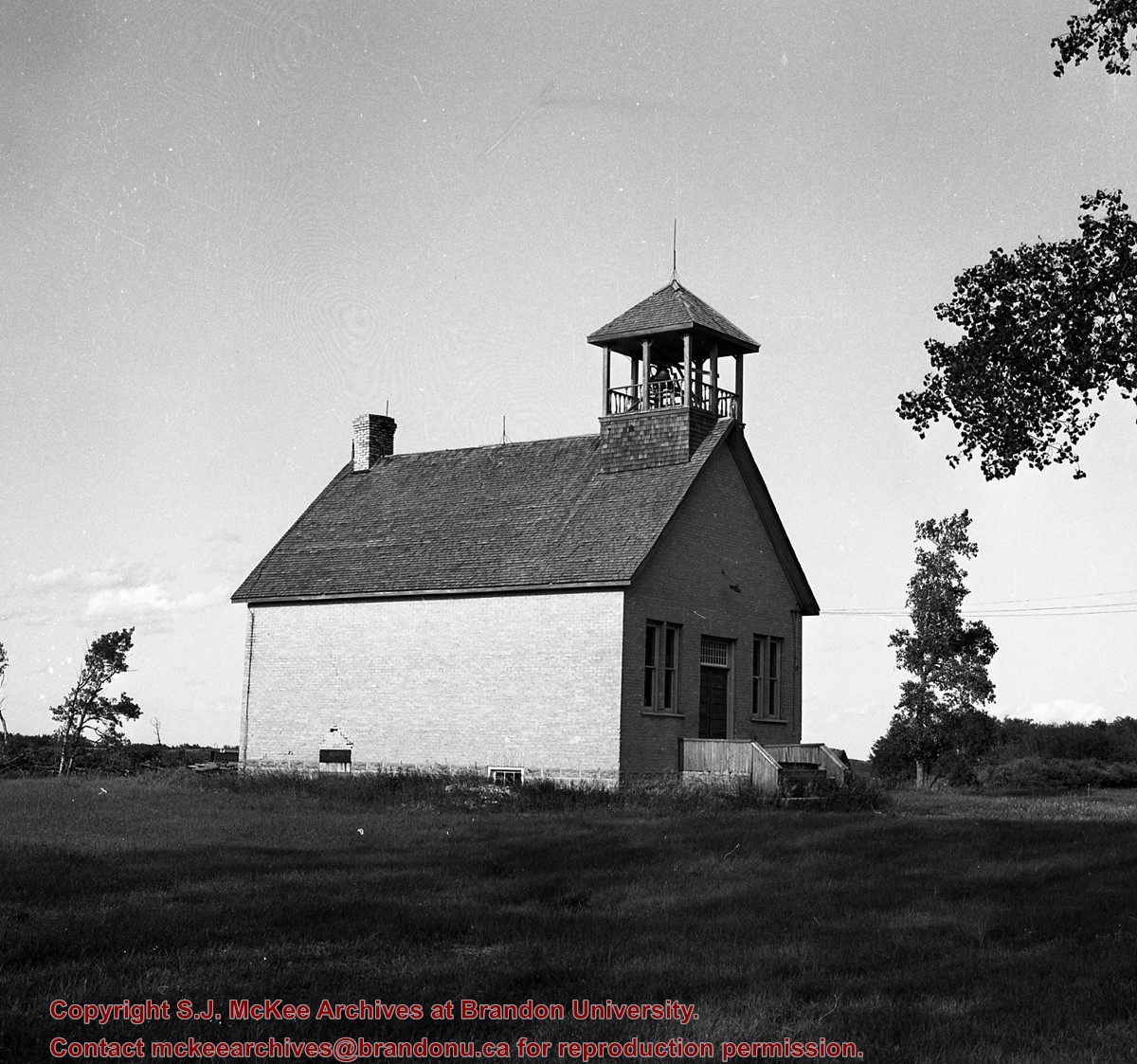
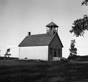
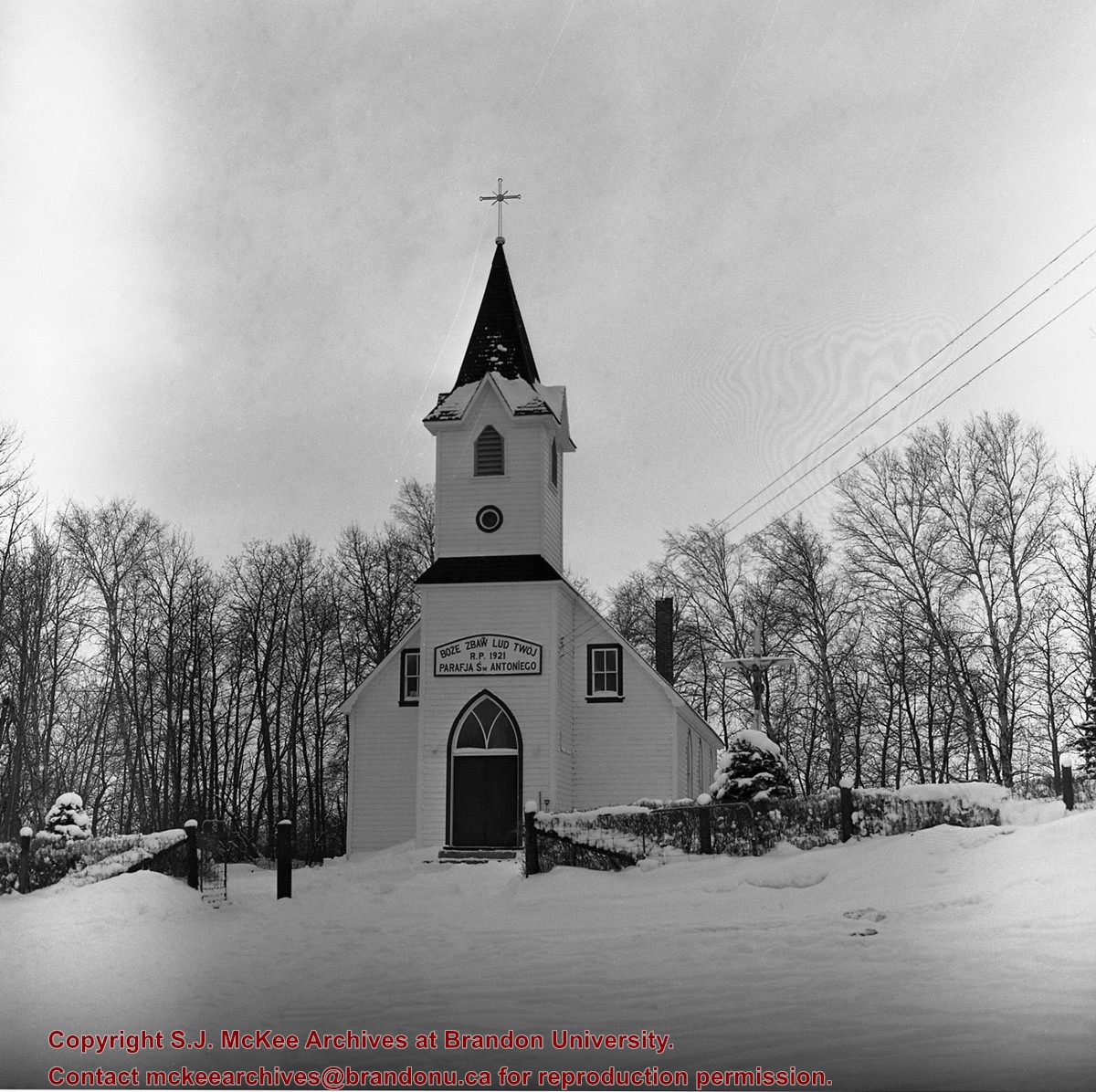
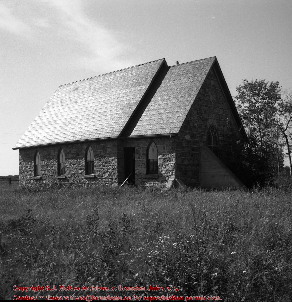
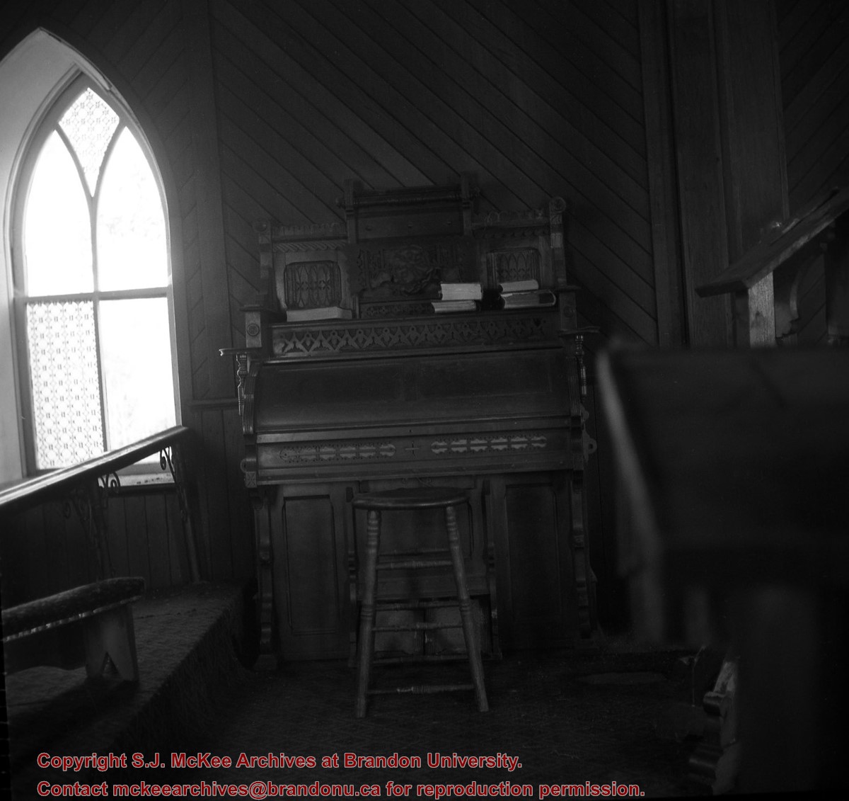
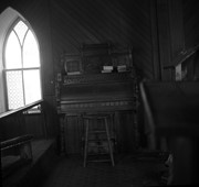
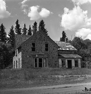
Stuckey's notes: Community of Thoona, Manitoba. Officially opened December 27, 1903 by Rt. Rev. S.P. Matheson, Bishop of Rupert's Land. Last annual meeting of congregation committee December, 1953. Officially closed November 1, 1964 by Rt. Rev. Ivor A. Norris, Bishop of Brandon, after special service in Birtle - St. George's Church. Exterior and interior.
Custodial History
For custodial history see the collection level description of the Lawrence Stuckey collection.
Scope and Content
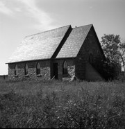
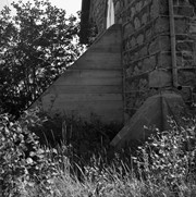
Image shows the Church of St. Albans - Blenheim (Anglican), south of Birtle, Manitoba.
Notes
[Brandon NW includes communities north of Trans-Canada #1 highway and west of PTH #10.]
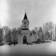
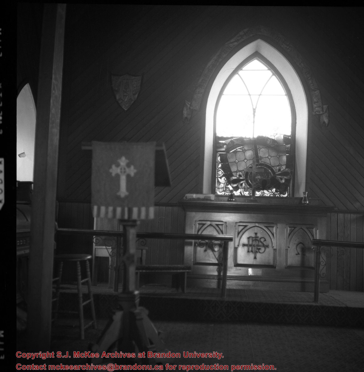
Stuckey's notes: Community of Thoona, Manitoba. Officially opened December 27, 1903 by Rt. Rev. S.P. Matheson, Bishop of Rupert's Land. Last annual meeting of congregation committee December, 1953. Officially closed November 1, 1964 by Rt. Rev. Ivor A. Norris, Bishop of Brandon, after special service in Birtle - St. George's Church. Exterior and interior.
Custodial History
For custodial history see the collection level description of the Lawrence Stuckey collection.
Scope and Content
Image shows the Church of St. Albans - Blenheim (Anglican), south of Birtle, Manitoba.
Notes
[Brandon NW includes communities north of Trans-Canada #1 highway and west of PTH #10.]
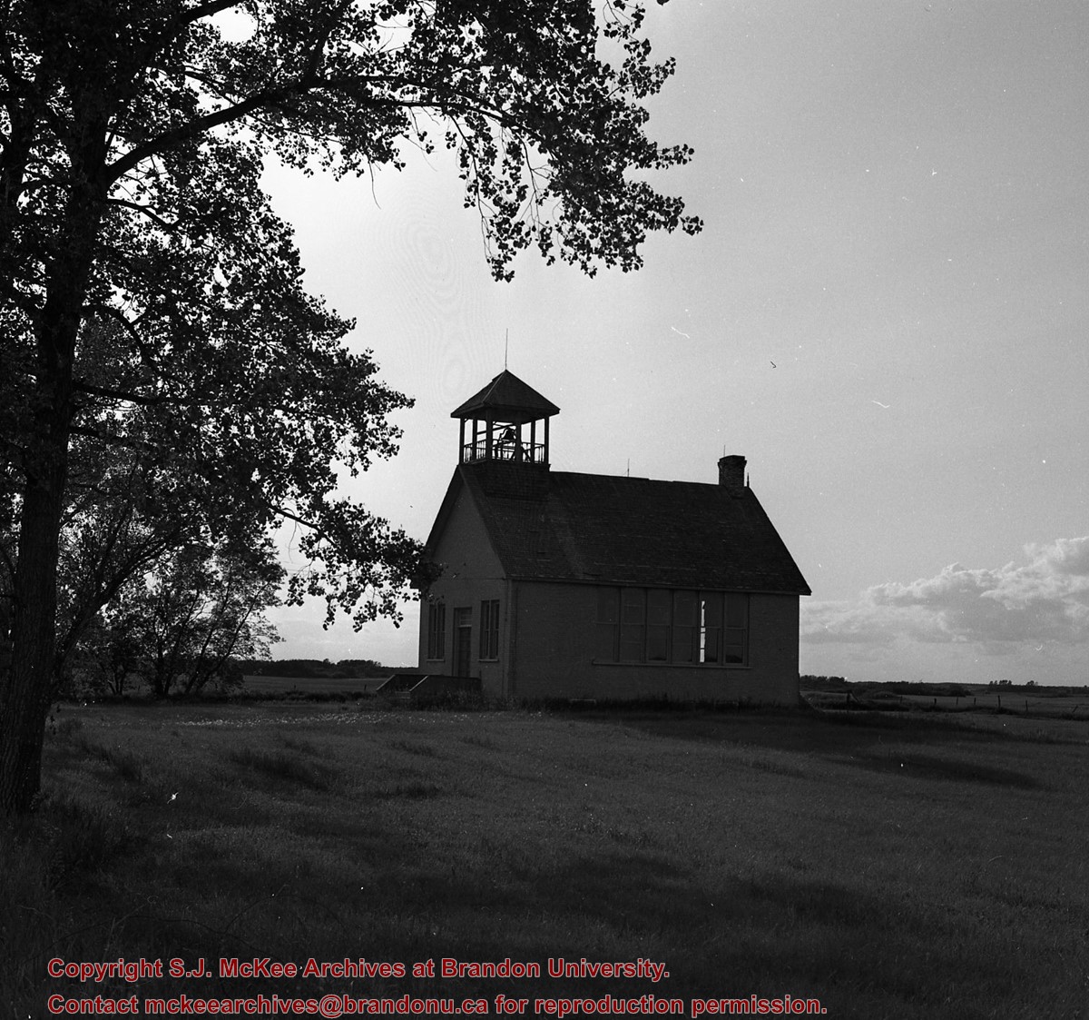
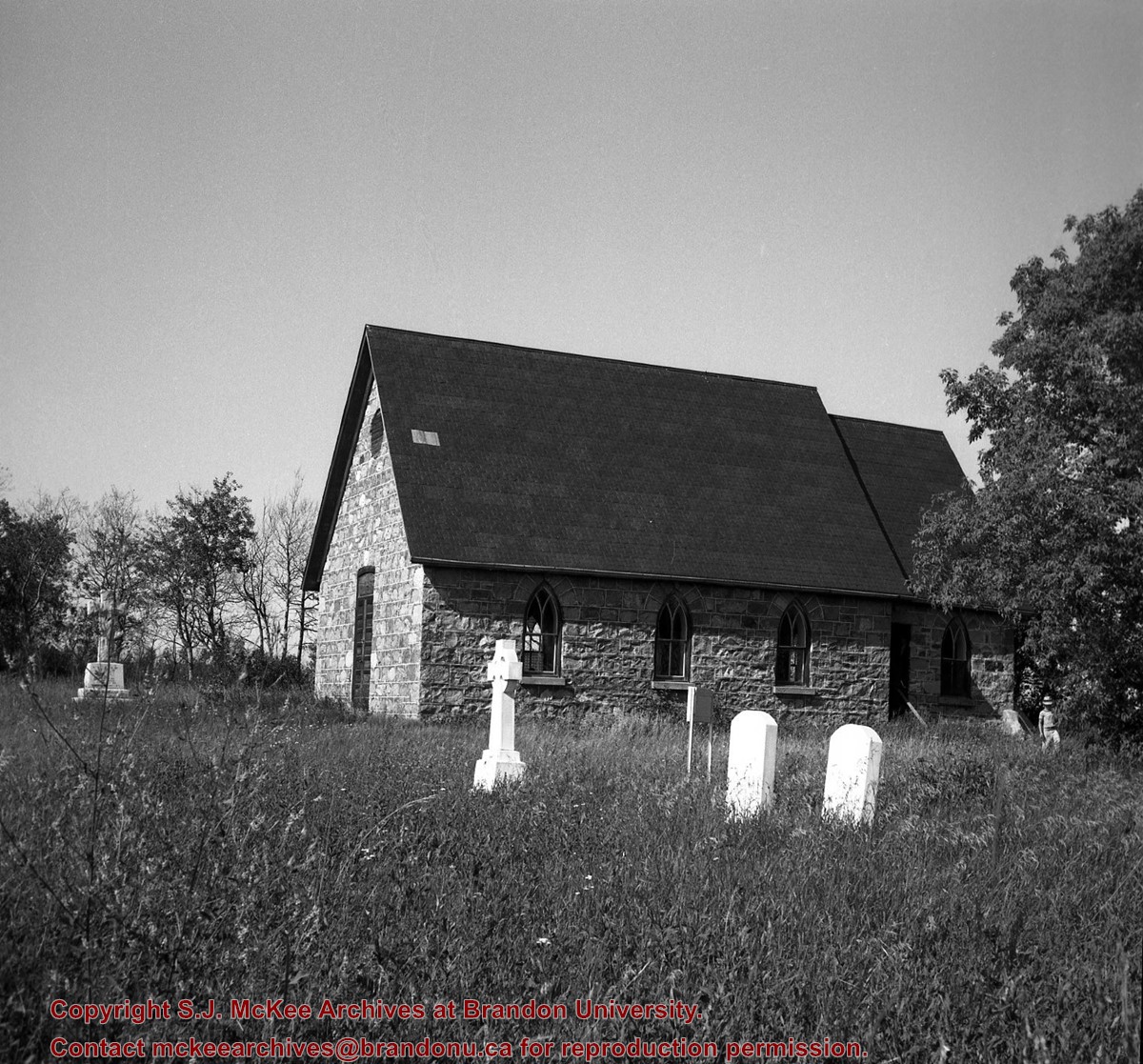
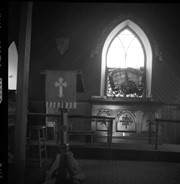
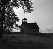
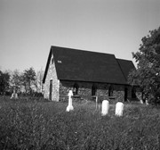
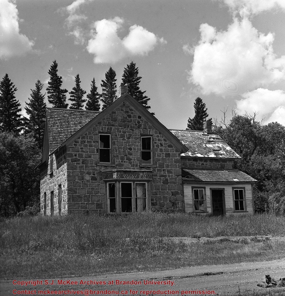
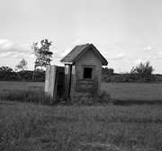


%2c+south+of+Birtle%2c+Manitoba)
%2c+south+of+Birtle%2c+Manitoba)
%2c+south+of+Birtle%2c+Manitoba)
%2c+south+of+Birtle%2c+Manitoba)
%2c+south+of+Birtle%2c+Manitoba)