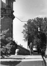
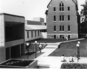
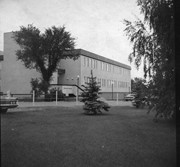
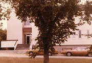
Photograph shows a student walking south along the sidewalk in front of Clark Hall and the Brandon College Building. Education Building in the background.
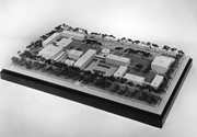
The idea behind the new proposed campus was to tear down the Brandon College Building and Clark Hall and either move the entire campus west on Victoria Avenue to land owned by Fotheringham or to rebuild the campus on the existing grounds.
Scope and Content
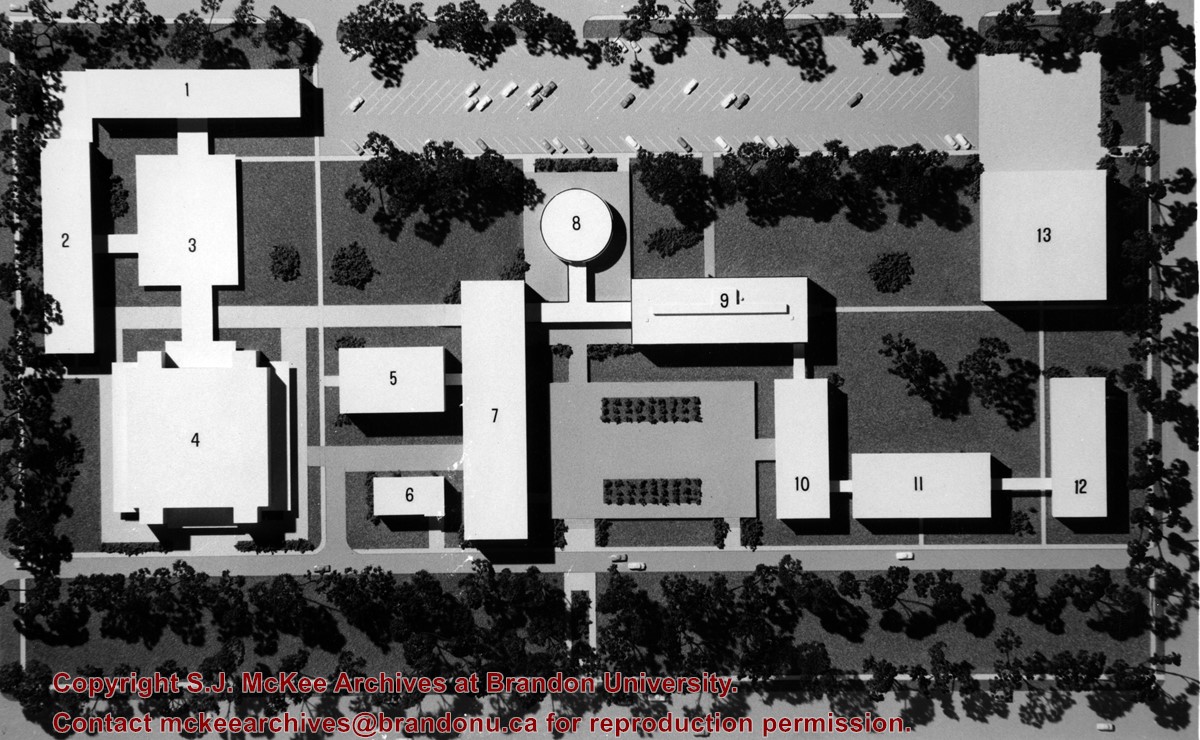
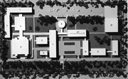
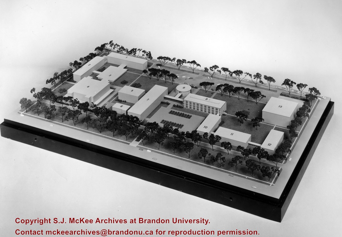
Photograph shows a model of a proposed new campus for Brandon University. In the model the Brandon College Building and Clark Hall have been removed.
The idea behind the new proposed campus was to tear down the Brandon College Building and Clark Hall and either move the entire campus west on Victoria Avenue to land owned by Fotheringham or to rebuild the campus on the existing grounds.
Scope and Content
Photograph shows a model of a proposed new campus for Brandon University. In the model the Brandon College Building and Clark Hall have been removed.
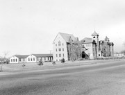
View is southwest from the north side of Princess Avenue. Photograph shows the north driveway entrance on campus. The original Music Building, the A.E. McKenzie Building, Clark Hall and part of the Brandon College Building are visible.
View is north from in front of the John R. Brodie Science Centre. Photograph shows the entrance to McMaster Hall, the Citizens' Science Building and an H-Hut, as well as the walkway between the buildings.
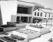
View is northwest from in front of the John R. Brodie Science Centre. Photograph shows the entrance to McMaster Hall and an H-Hut, as well as the flower beds in front of the Brodie Science Centre.
View is northwest from the southeast corner of 18th Street and Louise Avenue. Photograph shows the Citizens' Science Building, the Brandon College Building, Clark Hall and two H-Huts, as well as the land to the south of the buildings. The Original Music Building is partially visible in the background.
Some of the photographs have discolored lines through them.
History / Biographical
Donkersloot began working at Brandon University in 1971 as the Clerk of Works. From 1973 until his retirement, he was the Director of Physical Plant.
Custodial History
Photographs were taken by Tom Donkersloot during construction and stored in albums in the Physical Plant H-Hut until they were transfered to the McKee Archives by Doug Duncalf in May 2008.
Scope and Content
Seventy seven photographs of the construction of the Education Building.
Notes
Donkersloot recorded the date and time each photograph was taken on the back of the photos.
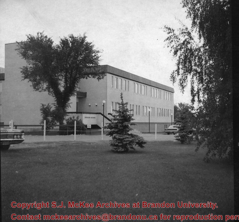
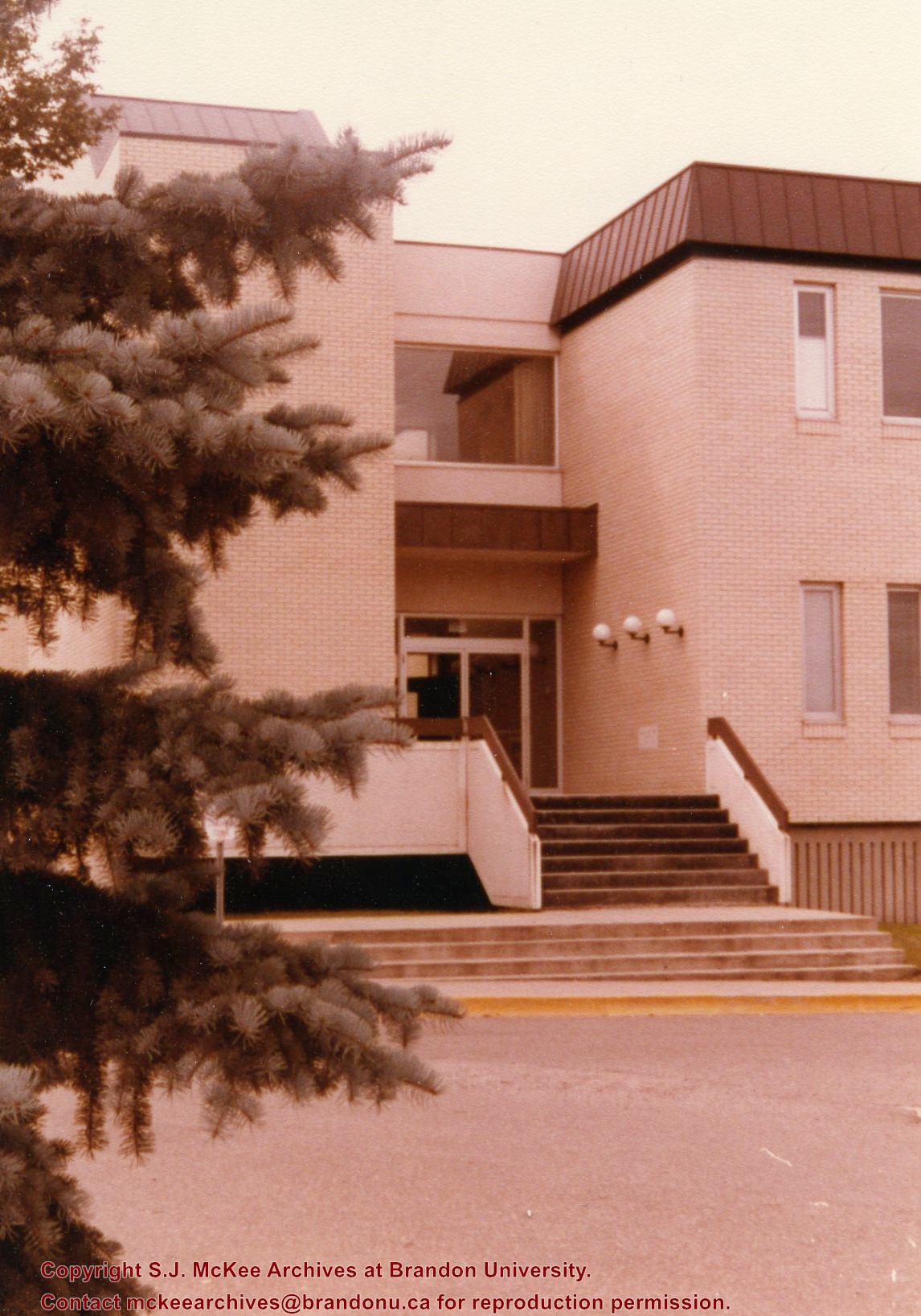
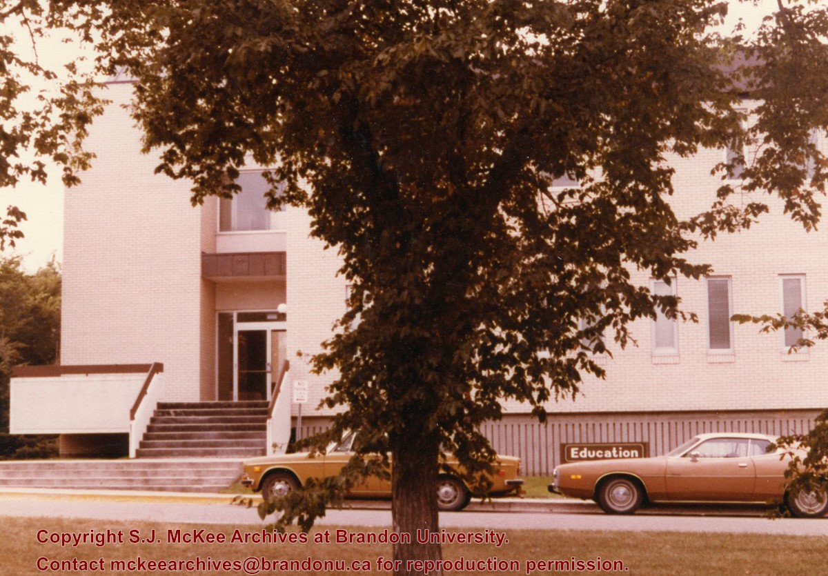
Photograph is looking west southwest and shows the Education Building, including the main entrance. Photograph was taken before the construction of the wheelchair ramp (built in the mid 1980s).
View is west to McDiarmid Drive from approximately 16th Street between Princess and Louise Avenues. Photograph shows: Brandon College, Fleming School, Coronation Park, and West End Community Centre.
View is northwest from the corner of 18th Street and Louise Avenue. Photograph shows the Brandon College campus, the Steam Plant and Kinsmen Stadium. Flora Cowan Hall is under construction.
View is east southeast from approximately 22nd Street between Princess and Louise Avenues. Photograph shows: Brandon College, Stanley Park, Park School, Prince Edward Hotel, First Baptist Church, First Presbyterian Church, Wheat City Arena, First Church United, St. Paul's, Central United Church.
View is southeast from 21st Street and Princess Avenue. Photograph shows: Brandon College, Wheat City Arena, Armories, Reform (Knox) Church, Alexander School, Knox United Church, Kinsmen Playground, Kinsmen Stadium.
View is east northeast from approximately 22nd Street between Lorne and Louise Avenues. Photograph shows: Brandon College (before planting of trees in quadrangle and before the Education Building), McKenzie Seeds, Prince Edward Hotel, Central United (St. Paul's) Church, St. Augustine's Church.


