See fonds level of the CKX records for custodial history.
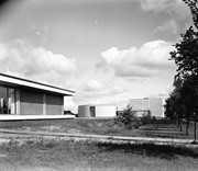
Scope and Content
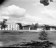
Image is looking north northwest across Brandon College campus. Visible are the Dining Room, the J.R.C. Evans Lecture Theatre and the A.E. McKenzie Building.
See fonds level of the CKX records for custodial history.
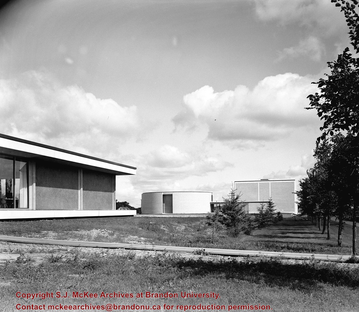
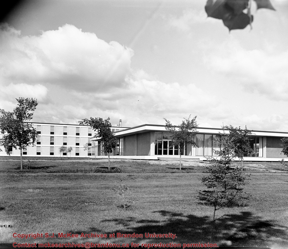
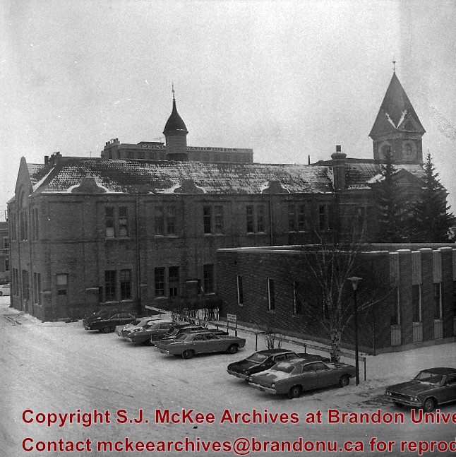
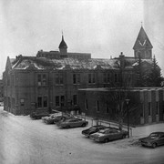
Scope and Content
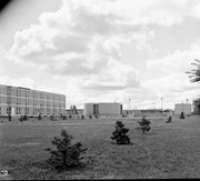
Image is looking southeast across the Brandon College campus. Visible are portions of the A.E. McKenzie Building, the J.R.C. Evans Lecture Theatre, the Dining Room, and Darrach Hall.
See fonds level of the CKX records for custodial history.
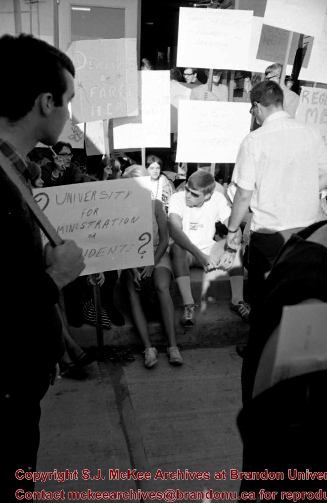
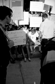
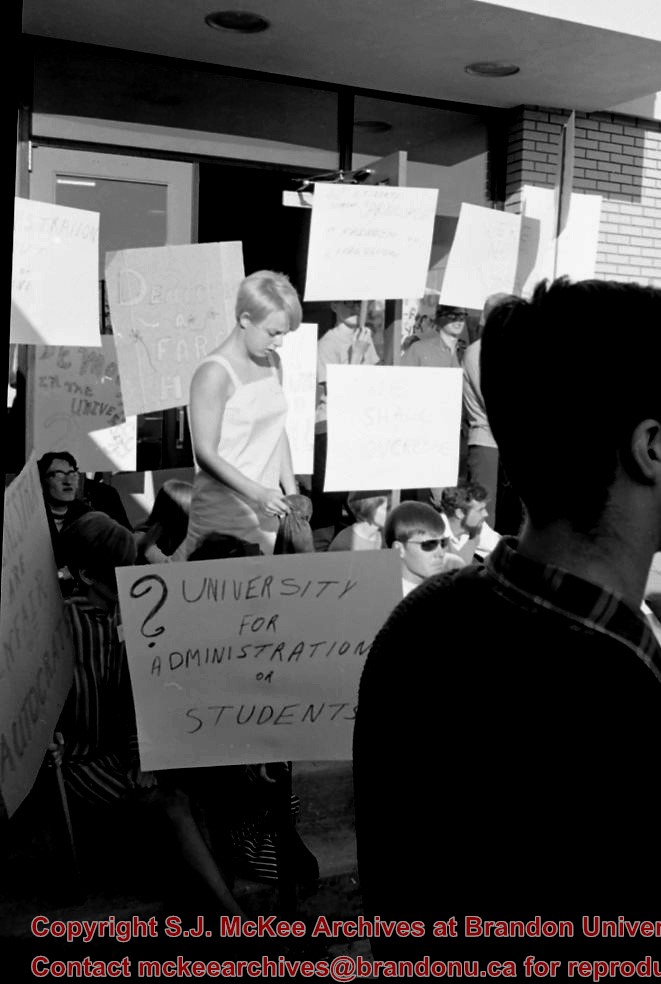
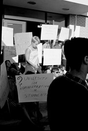
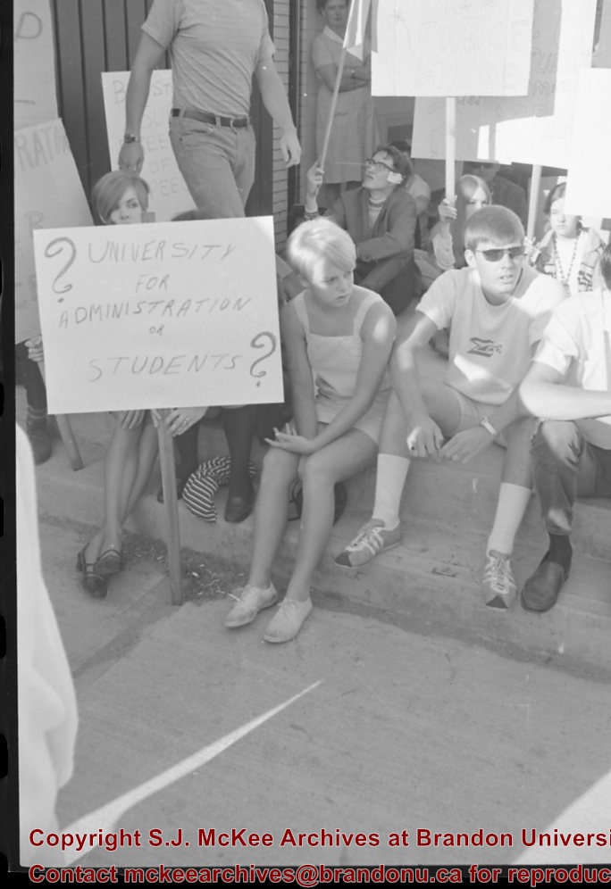
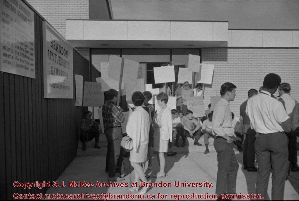
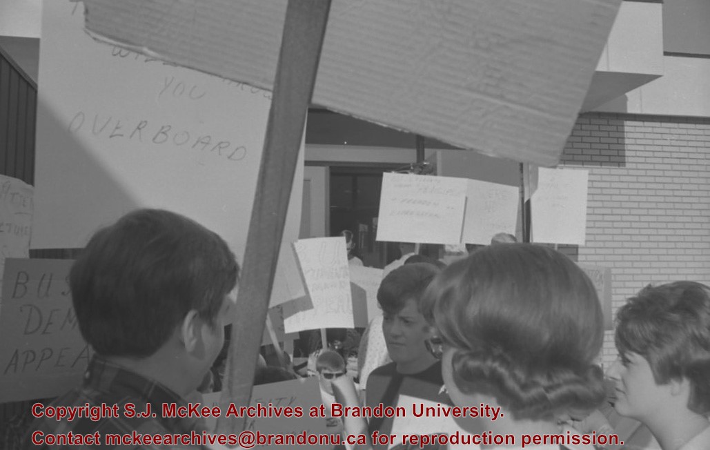
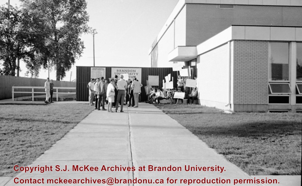
Scope and Content
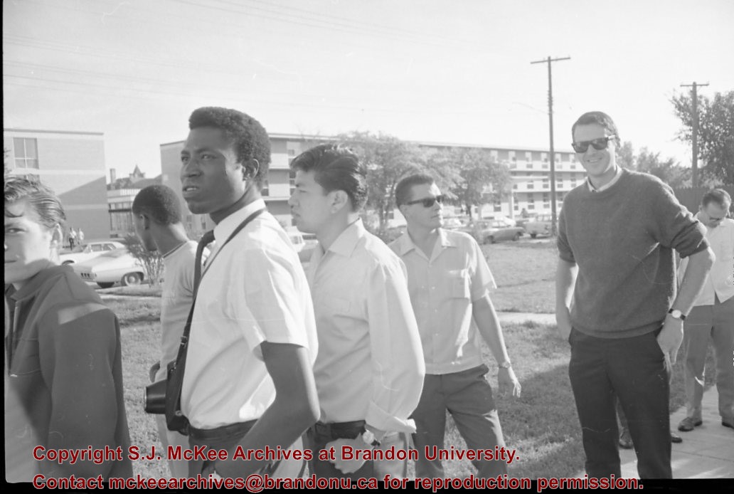
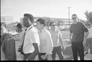
Image of protesters outside the Gymnasium taken during the Brandon University rampage. Darrach Hall and Flora Cowan Hall are visible in the background.
The Brandon Co-op building is located between 6th and 7th Street on the south side of Princess Avenue. The building later housed the Brandon Public Library and Convergys.
Custodial History
See fonds level of the CKX records for custodial history.
Photograph of east side of 10th Street, Brandon, Manitoba, between Rosser and Princess Avenues. Visible businesses include: The Bank of Montreal, Barclay's Shoe Store, Carlton Cafe (in the former Cigar Factory), and Ted Heming Jewellers. The McKenzie Seed building is visible in the background.
Photograph shows the east side of 10th Street, Brandon, Manitoba, between Rosser and Princess Avenues. Businesses visible in the Brown Block include (from north to south): Singer, Pittsburgh Paint & Glass, O. Stark & Son, Elna Sewing Centre, and Canadian Pacific Telegraphs. The Prince Edward Hotel is visible in the background.
Photograph shows the northwest corner of 10th Street and Princess Avenue. Traffic on the west side of Princess Avenue appears to travelling both ways. A taxi waits at the intersection.
Above the west entrance on the corner building is an electric sign that spells "Hughes Bldg." A second storey has been added to the portion of the Doig's shop that is adjacent to the Alexandra Block.


