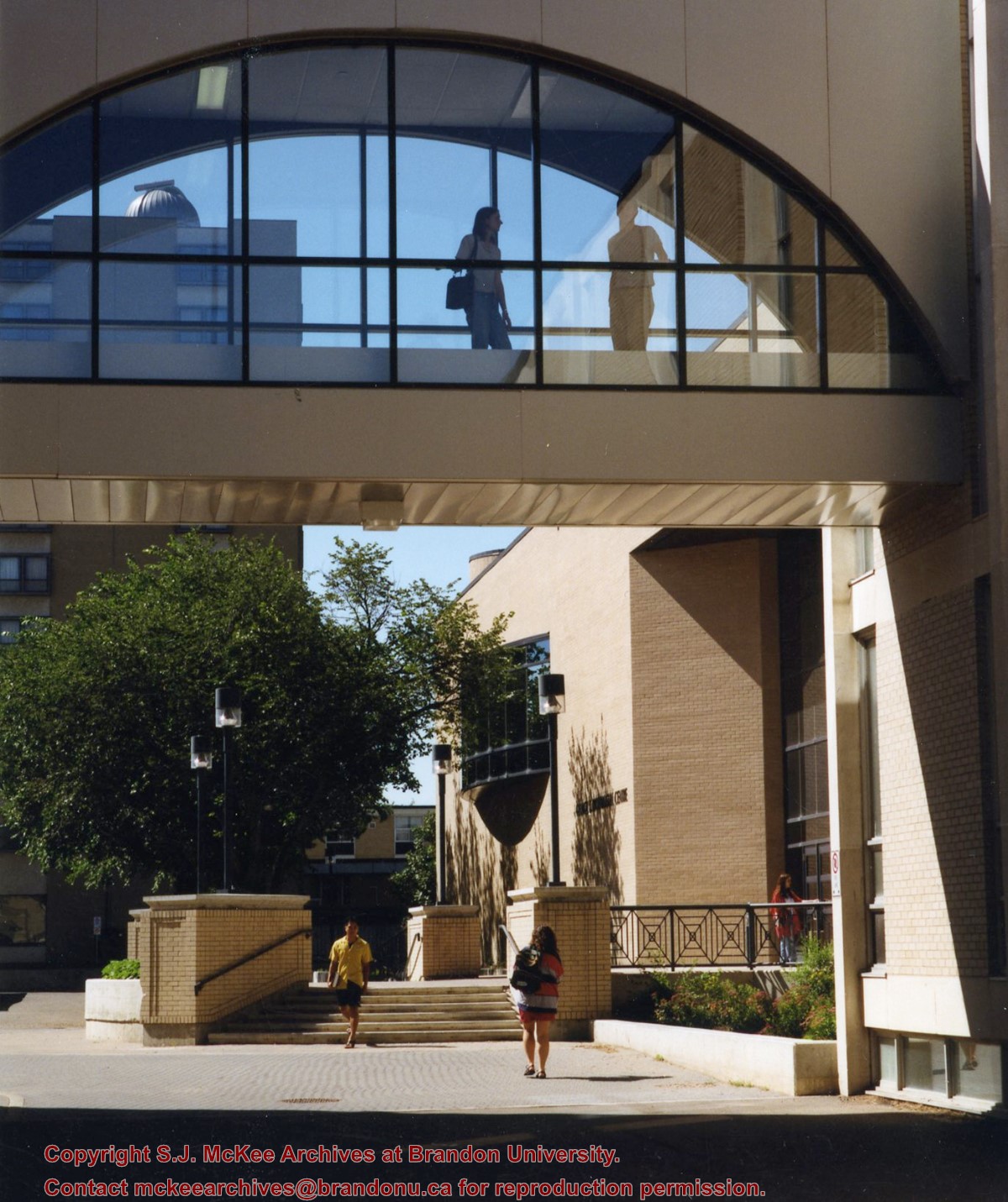
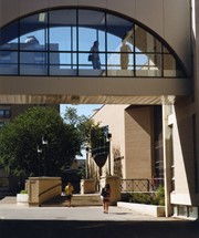
View is south from appromately the skywalk. Photograph shows the walkway that runs in front of the A.E. McKenzie Building south to the George T. Richardson Centre staircase and entrance. McMaster Hall in the background.
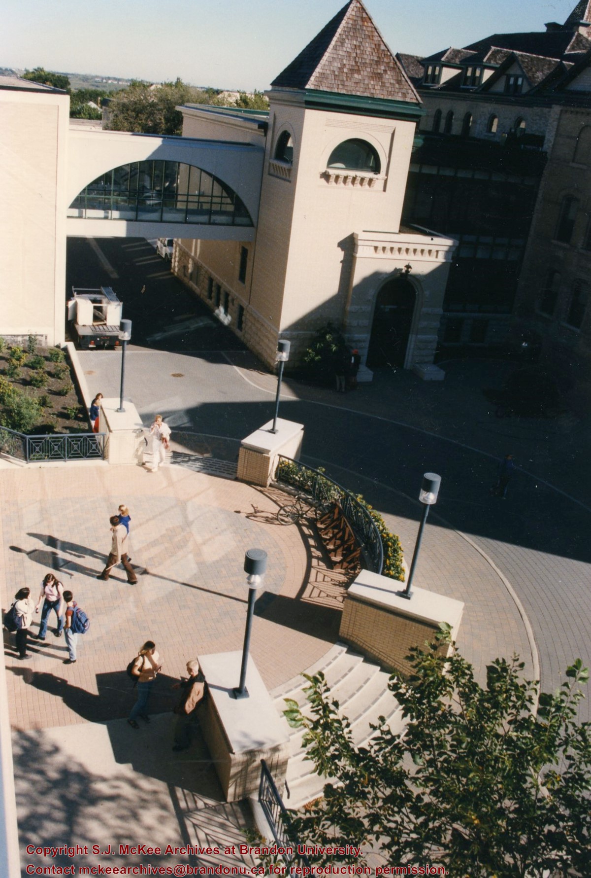
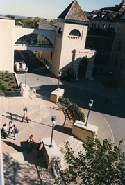
View is north northeast from the roof of the John E. Robbins Library in the George T. Richardson Centre. Photograph shows the entrance to the Richardson Building, part of the courtyard and the Clark Hall extension.
View is northeast from in front of the John E. Robbins Library in the George T. Richardson Centre. Photograph shows the entrance to the Richardson Building, most of the courtyard, Clark Hall and its extension.
View is northeast from the roof of the George T. Richardson Centre (John E. Robbins Library). Photograph shows the courtyard and the west side of the Brandon College building and Clark Hall, as well as the Clark Hall extension and part of the skywalk.
View is east southeast from the roof of the A.E. McKenzie Building. Photograph shows the courtyard and the west side of the Brandon College Building, as well as the Citizens' Science Building and the greenspace in between the two buildings.
View is from the front steps of the Education Building looking south down the east side of the Brandon College Building and Clark Hall to the Knowles Douglas Students' Union Centre and the John R. Brodie Science Centre in the background.
View is north northwest from the roof of McMaster Hall. Photograph shows part of the Citizens' Science Building, a number of H-Huts, the Brandon College Building, the greenspace, the J.R.C. Evans Lecture Theatre, the A.E. McKenzie Building, the Queen Elizabeth II Music Building and the Western Manitoba Centennial Auditorium. A number of residential blocks are also visible.
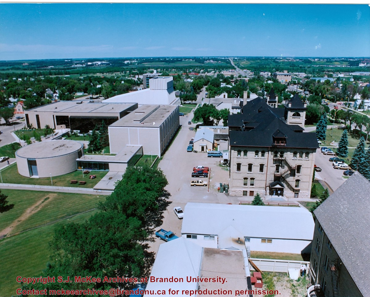
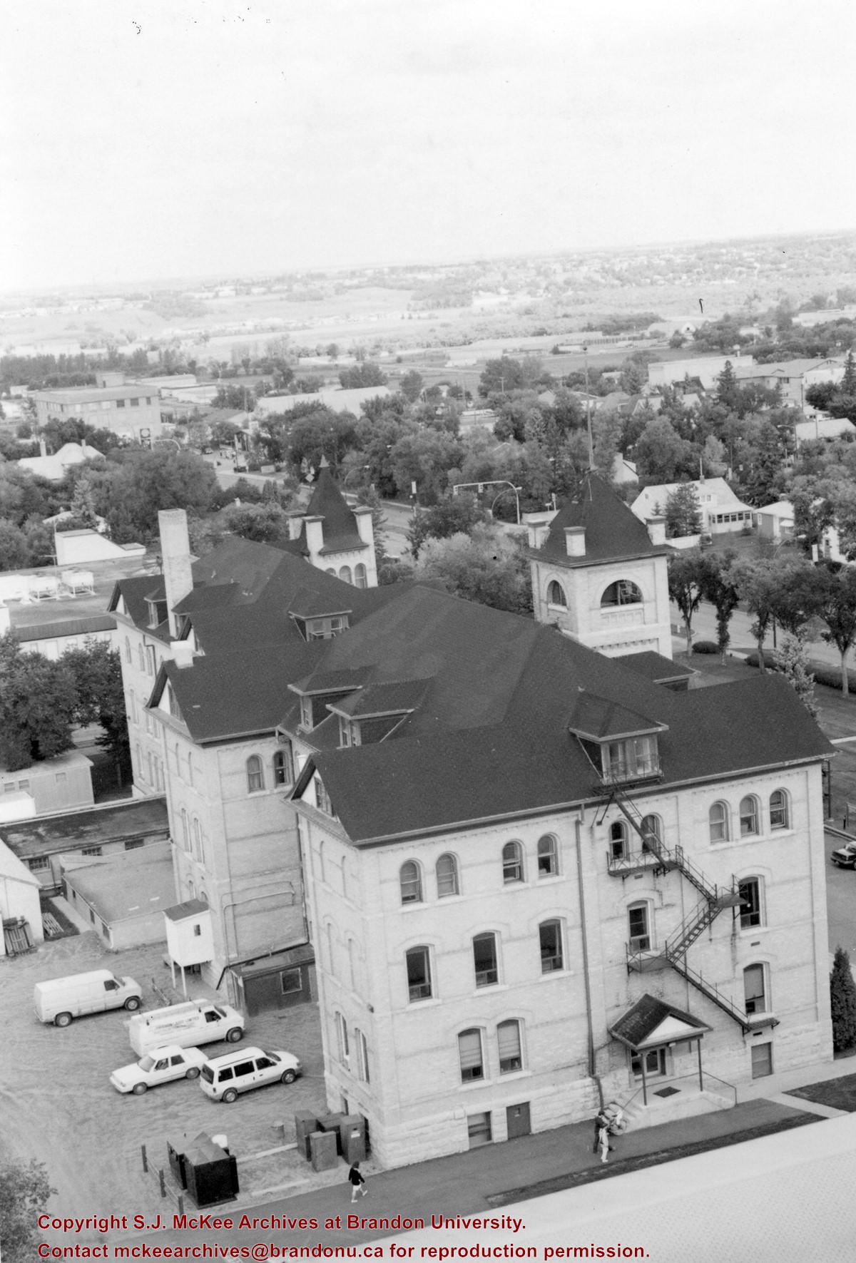
View is north northeast from the roof of McMaster Hall. Photograph shows a couple of H-Huts, the Brandon College Building, Clark Hall, the George T. Richardson Centre, the A.E. McKenzie Building, the original Music Building and the Western Manitoba Centennial Auditorium. A number of residential blocks are also visible.
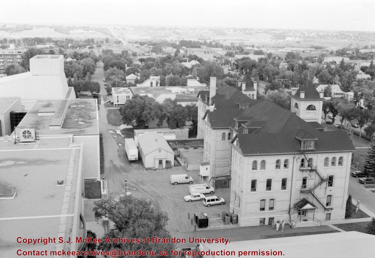
View is northeast from the roof of McMaster Hall. Photograph shows the Brandon College Building and Clark Hall, as well as the roof of the Education Building and portions of two H-Huts. A number of residential blocks are also visible.
View is northeast from the Dining Hall. Photograph shows the greenspace, the J.R.C. Evans Lecture Theatre, the A.E. McKenzie Building, the Brandon College Building and Clark Hall.
View is southwest from approximately Princess Avenue and 17th Street. Photograph shows the Brandon University campus in fall, as well as the southwest portion of the city.
View is south southwest from approximatley the east corner of 18th Street and Princess Avenue. Photograph shows the Brandon University campus, Kinsmen Stadium, Earl Oxford school and a number of residential blocks, particularly southwest of 18th Street.
View is southeast from approximatley 23rd Street and Rosser Avenue. Photograph shows the Brandon University campus, Kinsmen Stadium, Earl Oxford school, the Fair Grounds (including the Grandstand and Racetrack) and a number of residential blocks, particularly in the southeast part of the city.
View is west from 17th Street between Louise and Princess Avenues. Photograph shows the Brandon University Campus, Fleming School and Coronation Park, as well as a number of residential blocks.
View is southwest from the 200 block of 17th Street. Photograph shows the Brandon University campus, Kinsmen Stadium, Fleming School and a number of residential blocks.
View is south southeast from approsimatley Rosser Avenue and 21st Street. Photograph shows the Brandon University campus, Kinsmen Stadium, Earl Oxford School, the Fair Grounds (including the Grand Stand and Race Track), and a number of residential blocks.


