View is southwest from approximatley 16th Street between Lorne Avenue and Princess Avenue. The view extends to approximately 26th Street. Photograph shows the Brandon University campus, Kinsmen Stadium, Fleming School, Coronation Park and residential blocks.
View is southwest from approximatley 16th Street and Princess Avenue to McDiarmid Drive. Photograph shows the Brandon University campus, Kinsmen Stadium, Fleming School, Coronation Park, J.R. Ried School and residential blocks.
See fonds level of the CKX records for custodial history.
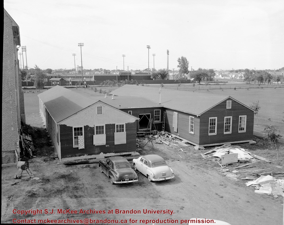
Scope and Content
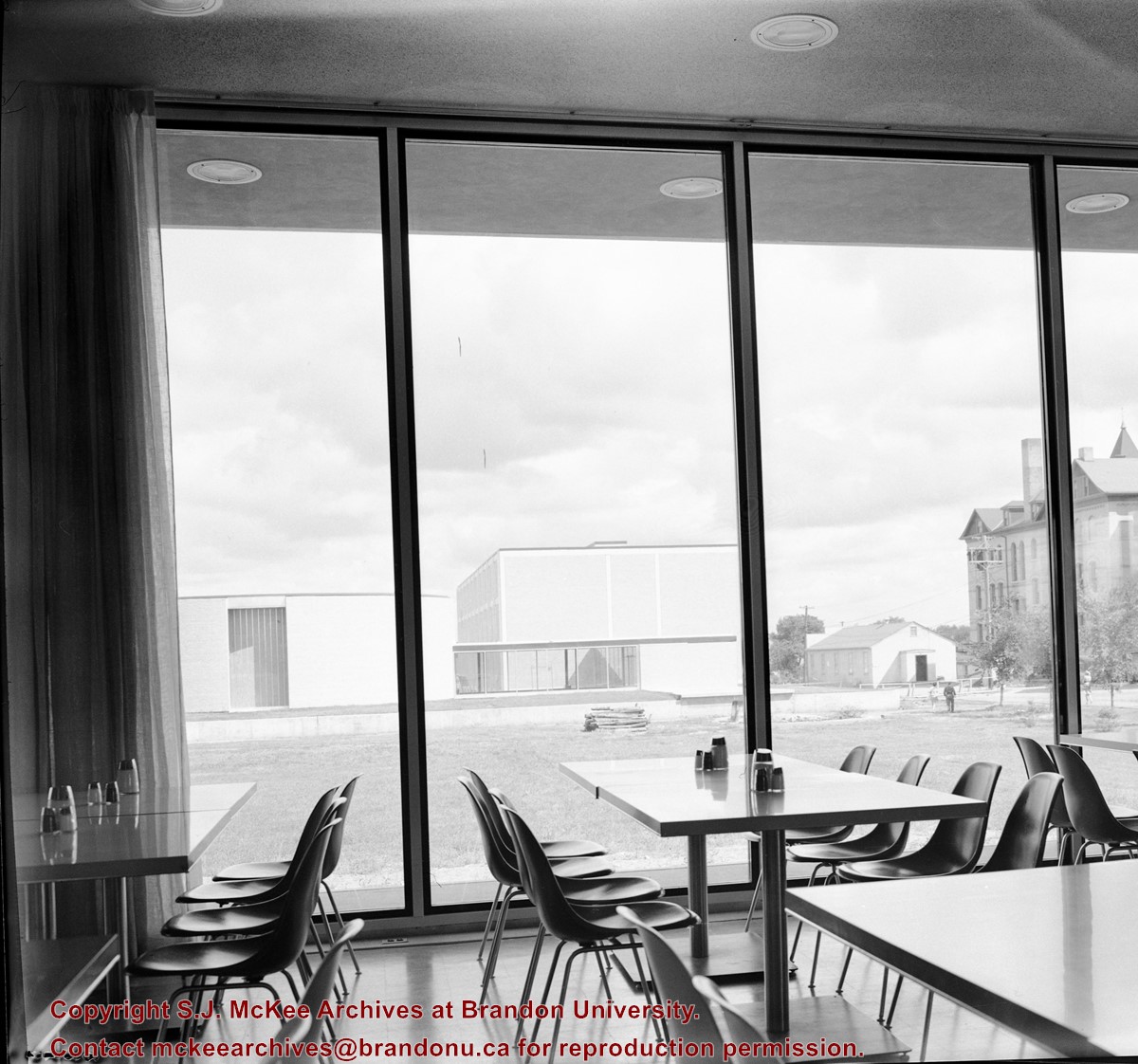
Image was taken from inside the Dining Room looking out through the windows across campus. Portiosn of the J.R.C. Evans Lecture Theatre, the A.E. McKenzie Building and Clark Hall are visible.
View is north northwest from the John R. Brodie Science Center (?). Photograph shows: Citizens' Science Building, Brandon College Building and Clark Hall, the Education Building and the driveway running in front of the buildings.
Postcard shows a street scene of Donald Street looking south from the Portage Avenue Intersection.
Notes
Writing on the back of the postcard reads: Aug 9, Dear ruth, Aunt Eva, Aunt Annie and Fred were over to the bowlnig greens tonight. Every one fine. Doddy. Postcard is addressed to Ruth McGuinness, 337-17th St., Brandon, Man. Postmarked: Winnipeg 12 PM Aug 10 1927 Man.
From the late 1960s until the late 1980s the original Science Building was used to house Brandon University's Drama Department. Since the late 1980s this building has been home to the Brandon University Students' Union, and in now known as the Knowles Douglas Students’ Union Centre (T.M. 09/06/09).
Custodial History
For custodial history see the collection level description of the Lawrence Stuckey collection.
Scope and Content
Brandon College campus buildings, [(L to R): Citizens' Science Building, Brandon College Building, Clark Hall]


.jpg?width=1200&404=no-img.jpg&watermark=wmk)
.jpg?width=180&404=no-img.jpg)
.jpg?width=1200&404=no-img.jpg&watermark=wmk)
.jpg?width=180&404=no-img.jpg)
.jpg%3fmaxheight%3d1000%26maxwidth%3d1000%26watermark%3dwmk&description=Brandon+College+scenes)
.jpg%3fmaxheight%3d1000%26maxwidth%3d1000%26watermark%3dwmk&description=Brandon+College+scenes)